We’re excited to announce the second winner of a complete AC system from Reliant! As you may recall, for the second year in a row, our sponsor has given away two AC systems to Houston area residents to help them beat the heat—and there has been plenty of heat to beat this year.
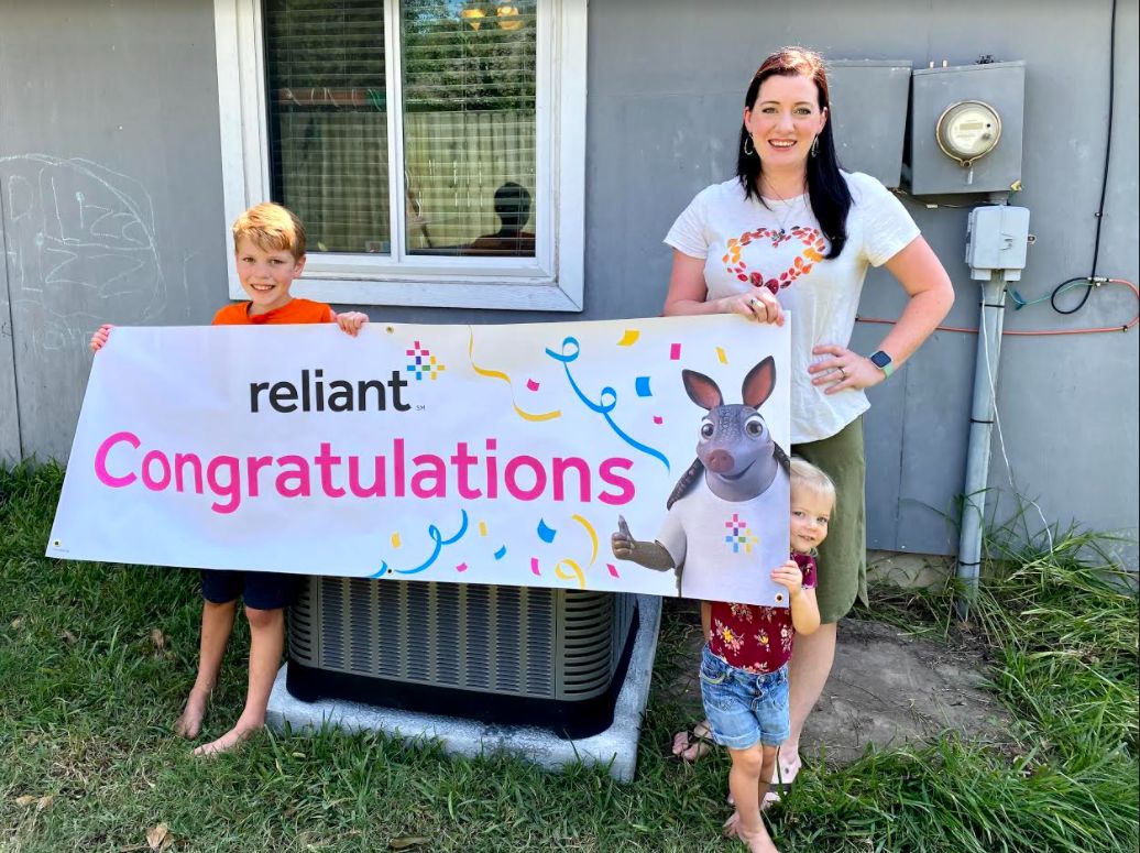
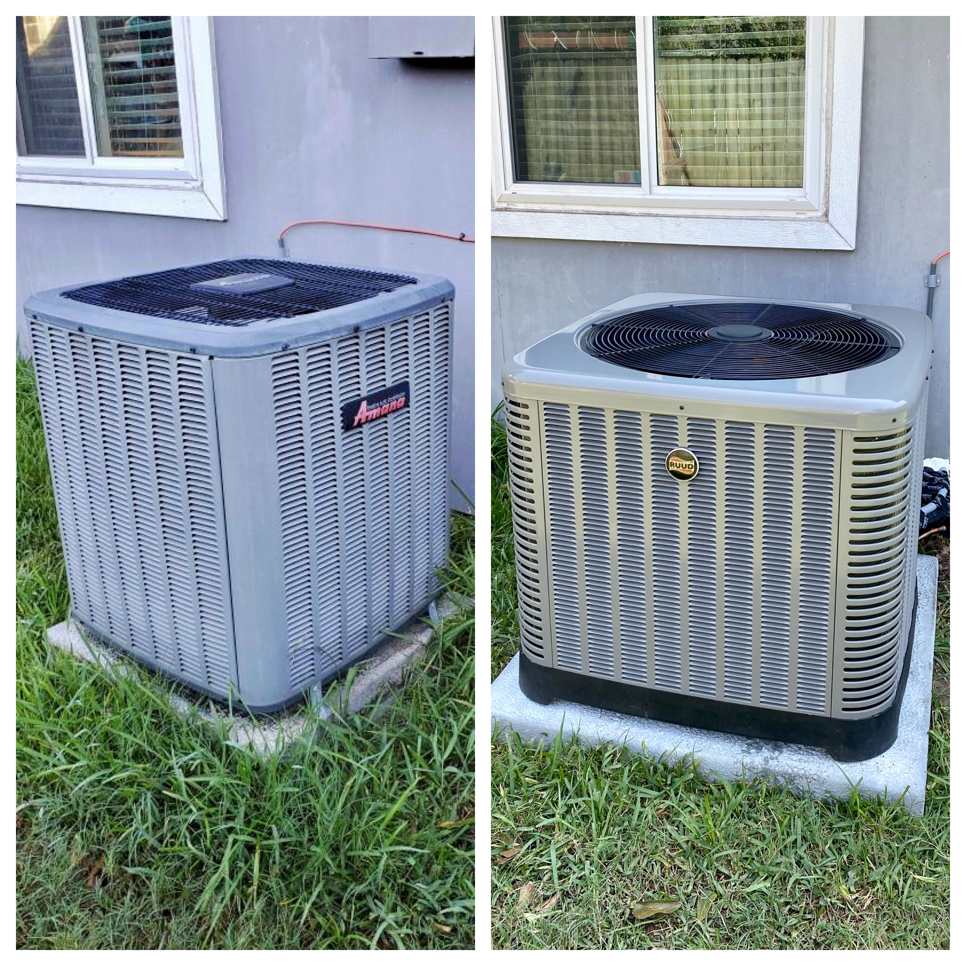
The winner of this year’s second AC System is Cassie, who lives in Friendswood. She has four children, some of whom are participating in virtual learning this fall due to COVID-19. She found out about the contest through our site’s Facebook page and decided to enter to keep her family comfortable while working and schooling from home safely. The family’s previous AC unit was in decent condition, but leaked water, wasn’t placed to code, and didn’t cool the house efficiently. So the installation of the new unit will make a world of difference for Cassie and her family. After learning that she had won the contest, here’s what Cassie had to say:
We are so grateful for Eric Berger and his weather team. They are our number one source of information! Winning this sweepstakes is such a bright spot after a truly very difficult summer. Thank you, thank you to Space City Weather and Reliant!
Likewise, we are thankful for our readers, as well as Reliant, who has been a great, long-time sponsor of our site. They keep the lights on for us, figuratively and literally.
In addition to providing electricity, Reliant alos offers AC and heating services, generators, indoor air quality checks, and thermostats through their home services division, plus special offers for Reliant customers. Check out this link for more information.
This will wrap up the AC giveaways for 2020, but we’ve got some big things planned for Space City Weather and Reliant in the coming year, so be on the lookout for announcements soon. Thanks to everyone who participated!