Good morning. A front is having subtle effects on Houston’s weather, but we’re still going to be plenty hot in the coming days. High temperatures should moderate slightly by the weekend, but we’re still looking at mostly sunny weather for several days. Next week our weather will be guided, to some extent at least, by any tropical systems that move into the Gulf of Mexico. We’re not seeing any direct threats, at least not yet, and Matt will have a full rundown later today on the tropical state of play.
Tuesday
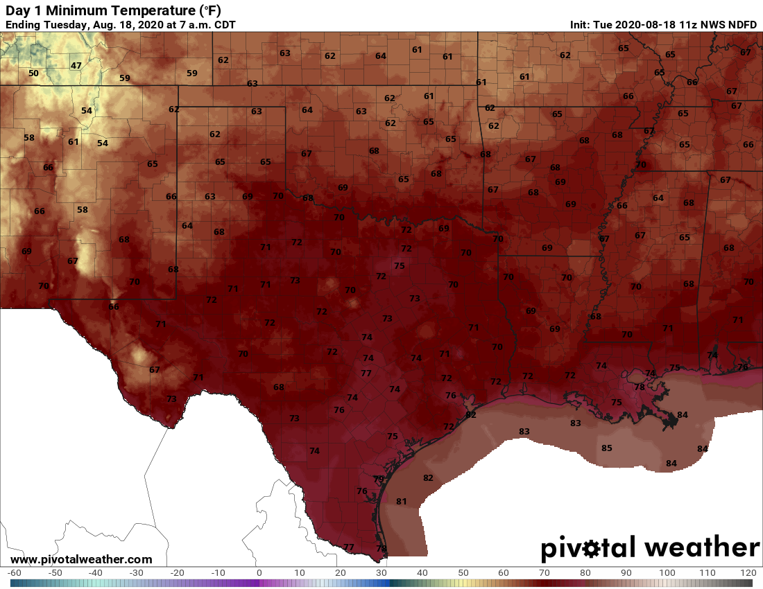
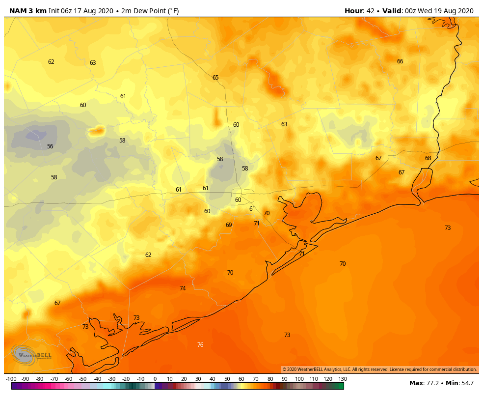
Expect hot and sunny conditions to prevail, with highs pushing into the upper 90s to 100 degrees this afternoon as drier air helps with warming. Despite the drier air, models are picking up a slug of moisture in the lower atmosphere that may help to generate some scattered showers primarily on the western half of the metro area later today. This should be pushed away by this evening as additional dry air continues to move in, both at the surface and above. This should set the stage for a slightly cooler night, with lows dropping into the mid-70s across much of the city. The coast, alas, is still going to see pretty normal humidity for this time of year.
Wednesday
This will be a hot and sunny day, with drier air in evidence. Expect highs in the upper 90s, with sunny skies and light winds out of the north. Temperatures should again moderate reasonably quickly as the sun sets, and drier help helps.


