Well Houston, we’ve made it to the start of August. Historically this is the hottest, steamiest month of the year, when the average high is 95 degrees, and the average low 75. I look at it like this: If you’re in Houston in August and the high temperature is not in the upper 90s or higher, the streets aren’t flooding, and you’re not concerned about an impending hurricane—it’s a win. August is a month to survive, with the promise of better weather down the road. And hey, two days are already down!
Monday
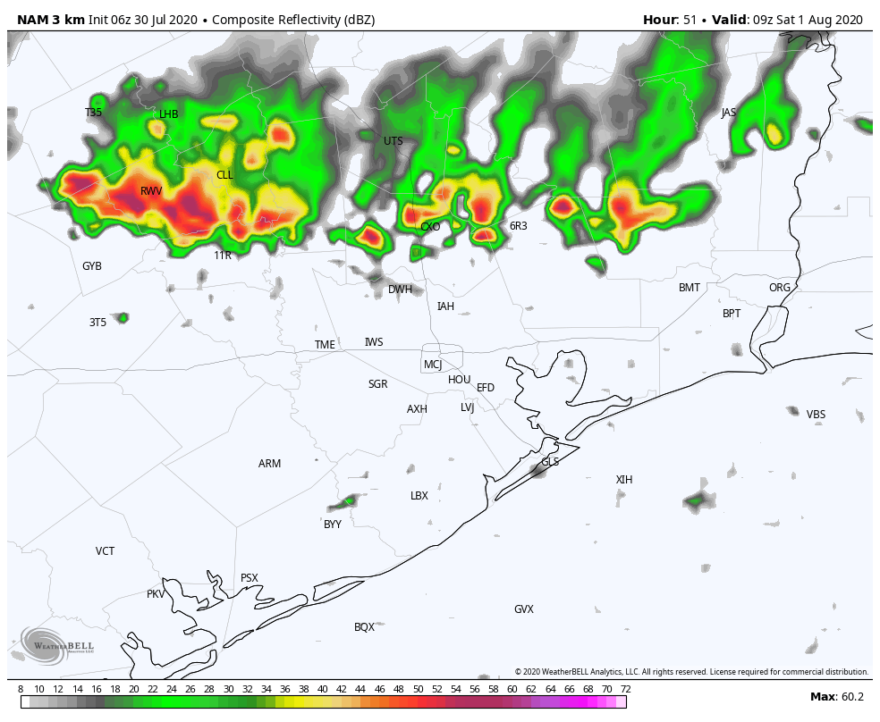
Some surprisingly robust storms developed north of Interstate 10 on Sunday, and although the atmosphere is slightly less favorable today, we may see some additional development over inland areas this afternoon that moves southward toward I-10. This would start up during the warmest part of the day, with highs in the mid- to upper-90s, and potentially combine with the sea breeze. These isolated to scattered thunderstorms could produce briefly heavy winds and rains through the evening. Skies, otherwise, should be mostly sunny, with calm winds providing no relief during the hottest part of the day. Overnight lows will likely drop into the upper 70s.
Tuesday
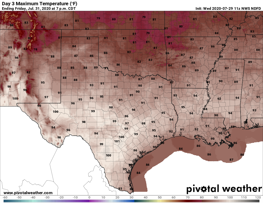
This should be a day similar to Monday, that starts out with sunny skies, but then sees development of storms during the hotter part of the day. Again, aerial coverage should be about 30 percent. High temperatures will likely reach into the upper 90s for inland areas, and a few degrees cooler along the coast.