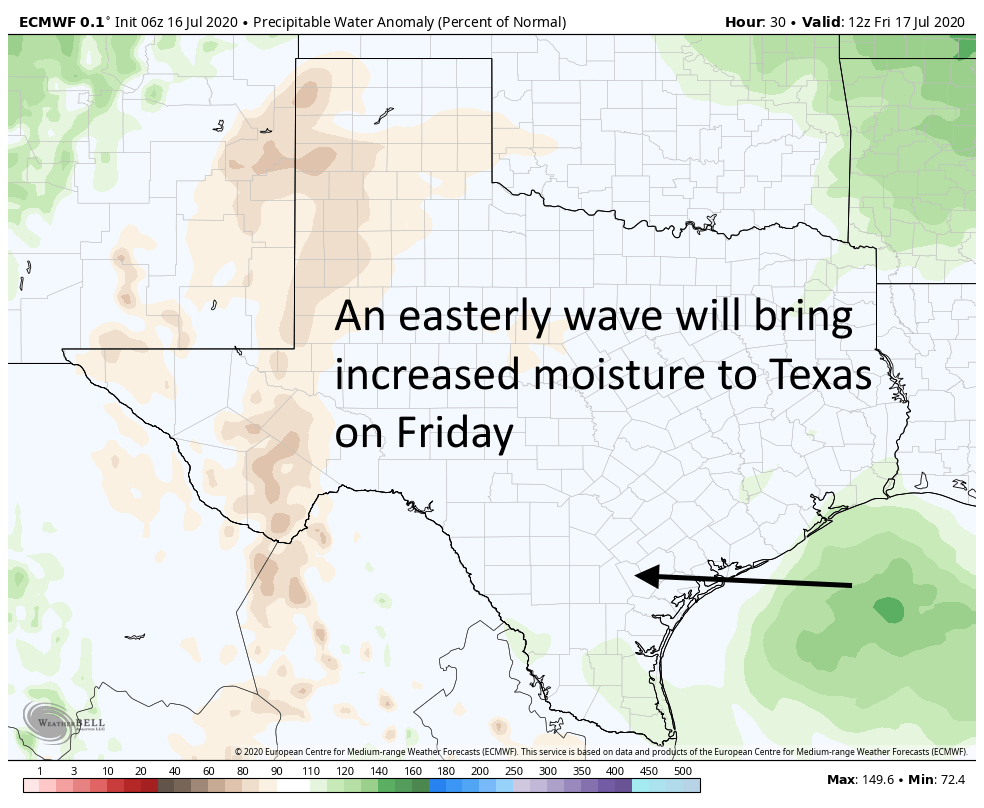
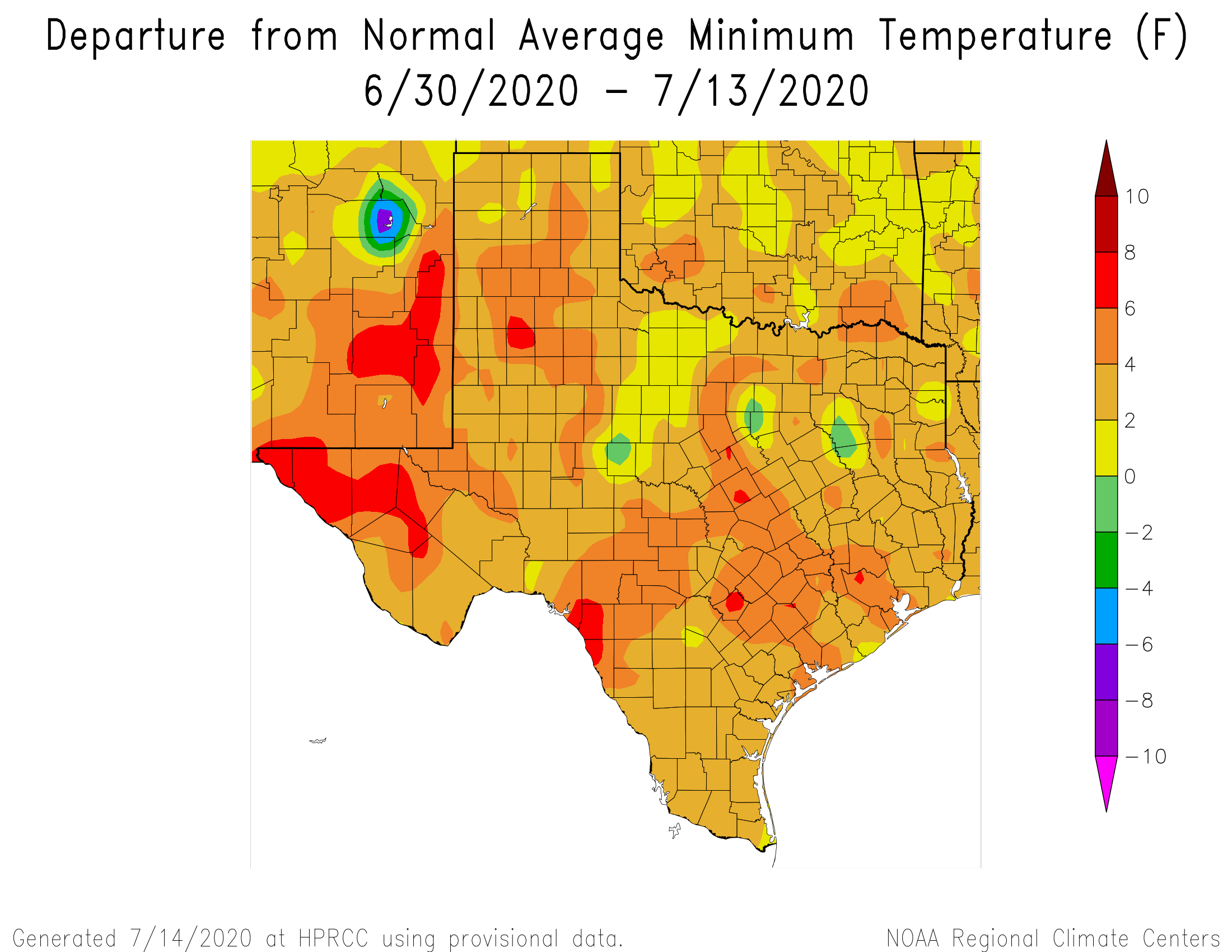
As expected this weekend, the Houston region has transitioned from a hot and sunny pattern that dominated the first half of July into one with more clouds, higher rain chances, and slightly cooler temperatures. That trend will continue this week. So why are we posting on a Sunday? Because a tropical system may approach Texas late this week.
This morning the National Hurricane Center called attention to the possibility that this system will develop into a tropical depression or storm, giving it a 20 percent chance of doing so by Friday.
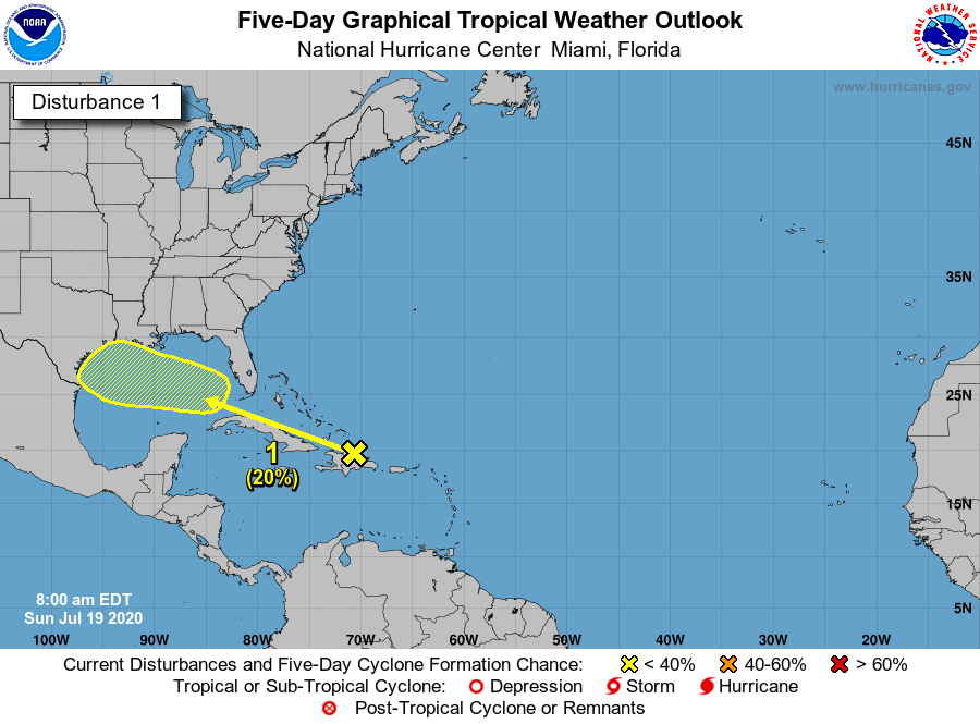
This may sound scary, but right now this is not a feature we’re overly concerned about. While it is possible that this disturbance develops into a weak tropical storm, there appears to be only a little support for this scenario in the global models, and no indication whatsoever of anything stronger than that. So as is often the case with tropical systems in June and July, the biggest worry is heavy rainfall. That’s possible on Friday and Saturday, but again there is no particularly strong signal for extensive heavy rainfall in the global models.
The bottom line: We’re tracking the movement of a tropical system that will push into the Gulf of Mexico this week, and should head toward Texas. There is, for now, no evidence of any particularly extreme weather—perhaps we will see a few inches of rainfall and some elevated winds. We will of course continue to watch it closely.