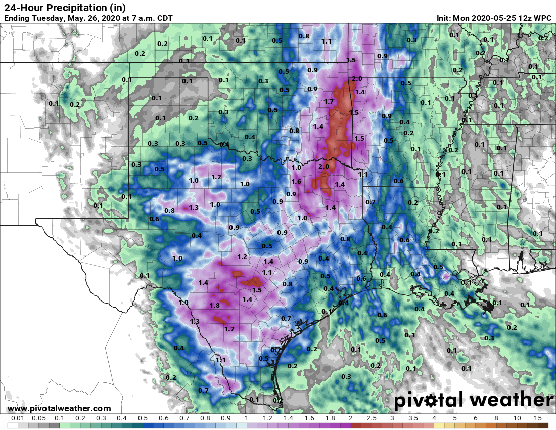
Good morning. Moderate to briefly heavy rainfall moved through the Houston area during the overnight hours, generally dropping between 0.25 and 1 inch of rain. This looks to be the last of our organized storm systems for awhile, although our region will certainly face the possibility of scattered showers and thunderstorms this week. But overall, the last week of May 2020 will be reasonably pleasant weather-wise, with slightly lower humidity than normal. Enjoy this, friends, because June is around the corner.
Tuesday
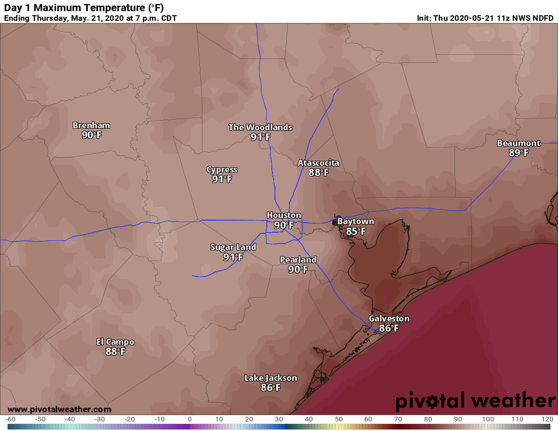
The remnants of the overnight rainfall system are pushing through Houston this morning, and should move out by 8 a.m. or 9 a.m. Skies should be partly to mostly cloudy today, with the possibility of additional scattered showers this afternoon. Highs will reach the mid-80s. You may notice winds start to come from the north later today, and this will give us shot of slightly drier air that may linger for most of this week. It should be especially noticeable this evening, and on Wednesday morning when lows drop into the 60s for most areas except the coast.
Wednesday
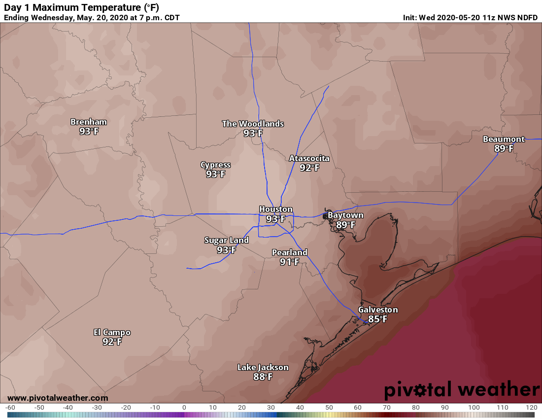
The much discussed upper-level low pressure system should continue to wobble away from the region on Wednesday, and this should lead to partly to mostly sunny skies. This, in turn should allow for temperatures to push into the upper 80s, and this daytime heating may trigger a few afternoon showers. Lows Wednesday night should be a few degrees warmer than Tuesday. It’s possible we may see some additional showers late Wednesday night into Thursday morning, but I don’t have overly high confidence in this.