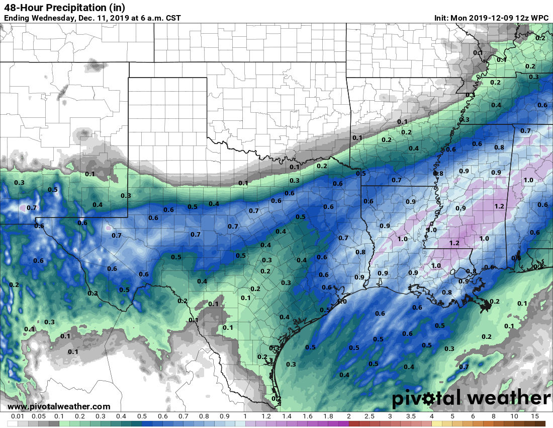
Tuesday’s front moved through as advertised, dropping between 0.25 and 0.5 inch of rain across the area and pushing our temperatures down dramatically. After a gray day yesterday, expect mostly clear skies well into the weekend. Yes, we’re going to have yet another amazing fall weekend in Houston.
Wednesday
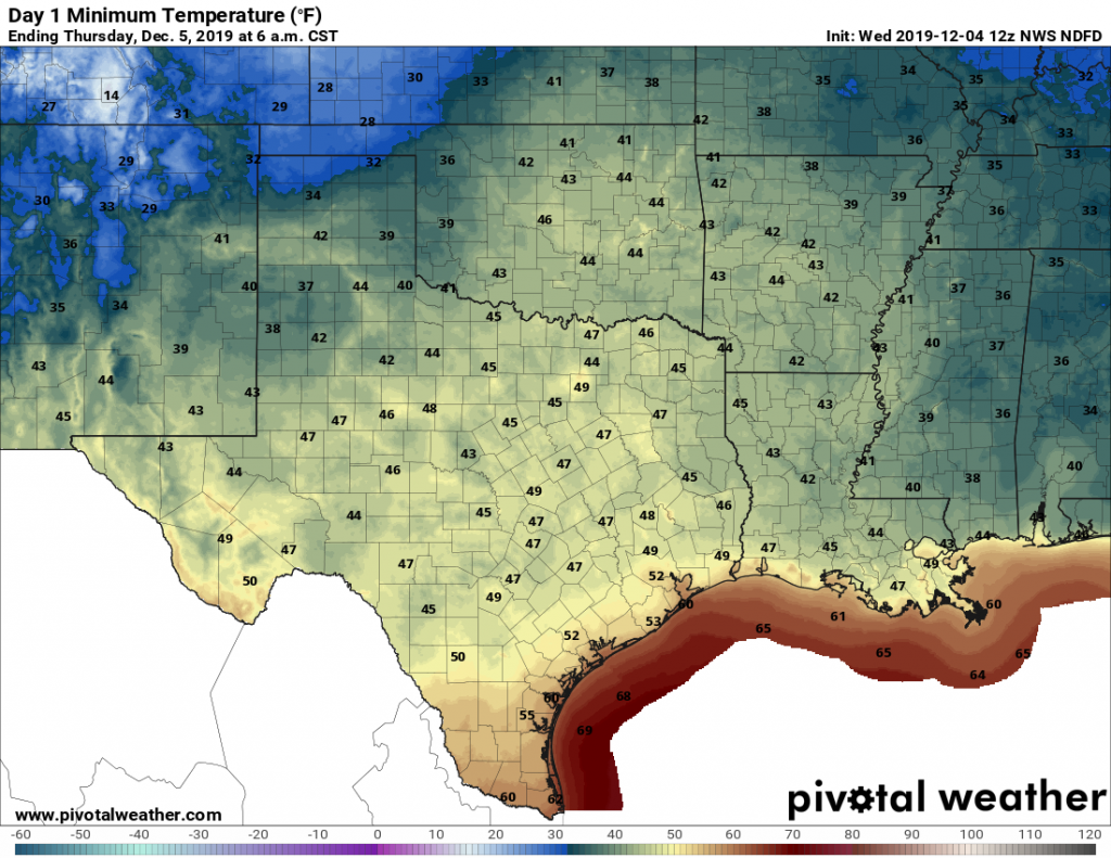
Conditions are generally cold, cloudy, and gusty this morning with low temperatures in the 40s. That will change as the cloud deck follows the front offshore, leading to clearing skies later today for the region. Partial sunshine should allow highs to reach the mid- to upper-50s—so quite chilly for the daytime—before another cold tonight with low temperatures falling into the mid-40s. Winds will die down today, coming from the north at 5 to 10 mph.
Thursday and Friday
These two smashing days will be partly to mostly sunny affairs, with highs in the mid-60s to 70 degrees and overnight lows around 50 degrees. The forecast models are somewhat split as to whether a modest cool front will push through on Friday to reinforce the cooler weather, but I think the biggest question is whether this drives low temperatures on Saturday morning down to the mid-40s, or lower 50s.