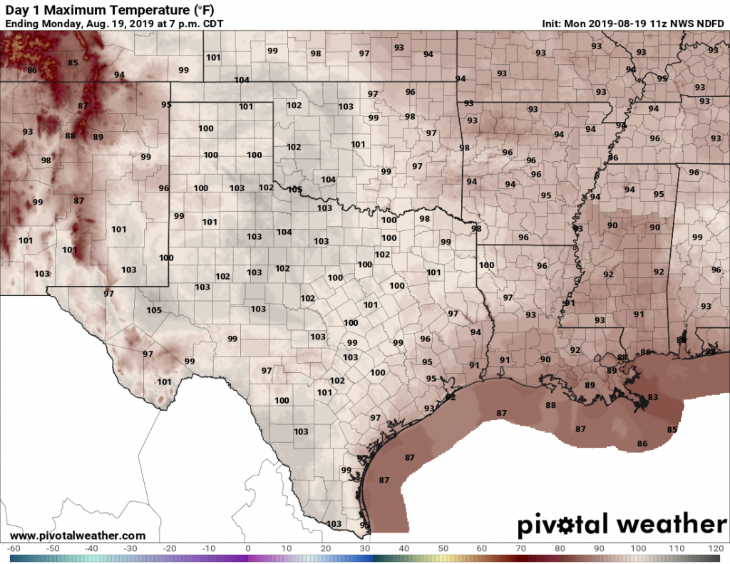
A very nice Thanksgiving on tap, with a cold shot early next week

On the day before Thanksgiving, Matt and I just wanted to share our appreciation for our readers. When this site started in 2015, it was little more than a hobby. But now, three years later, we’ve been made to feel like full-fledged members of the greater Houston community. This has been a wonderful ride to be a part of, and it all begins with the kind words and enthusiasm of our readers. Thank you!

Wednesday

It’s a chilly start to the day, with lows generally in the 40s across the metro area. With partly to mostly sunny skies, we’ll see highs push up to around 60 degrees. A low-pressure system in northern Mexico and South Texas will bring some rain chances (likely around 50 percent) into the forecast this afternoon, and evening, but the system looks to remain far enough offshore that most of the heavy precipitation should stay there. Coastal areas will see the best chance of rain, but even there we’ll probably measure accumulations in tenths of an inch.

Thanksgiving Day high temperatures: Nice! (National Weather Service)

Thanksgiving

Some rain chances may linger from midnight into the wee hours of Thanksgiving, but as the low moves east, any rainfall should go with it. This will leave us with what should be a really nice Thanksgiving day. I’m looking for highs in the low- to mid-60s, with partly to mostly sunny skies. Mother Nature will provide us with, dare I say, a cornucopia of good weather?

See full post

Thanksgiving week forecast coming into better focus, and it’s not bad

Last week, when I looked at the forecast for Thanksgiving week, there was not a whole lot to be thankful for. We had the potential for heavy rainfall on some of the busiest travel days of the year, and overall the weather simply promised a cornucopia of “meh” conditions. I’m happy to report that the outlook for this week has brightened, and that we should see as much sunshine as showers.

On a completely unrelated note, we’re in the last week of our annual fundraiser. We’re selling t-shirts, sweatshirts, and umbrellas, as well as accepting donations to support the operation of this site. We’ve had a tremendous response so far; so thank you to everyone who has contributed.

Monday

After a cold front slogged through the Houston region on Sunday, we’re seeing a chilly morning with temperatures ranging from about 40 degrees far inland to mid-50s along the upper Texas coast. Scattered showers have developed overnight, and these rains should continue on-and-off for much of this morning as upper-level winds support the upward movement of air at the surface.

Monday will be gray, with some moderate rain chances. Accumulations aren’t a big concern. (National Weather Service)

Rains, for the most part, will be moderate, with accumulations of only a few tenths of an inch. They should end by this afternoon as this system moves from west to east. Temperatures will hang around the mid-50s today as skies will remain gray even after the rain departs to the east.

See full post

Warming up now, with concerns about Thanksgiving week weather

We’re seeing another morning of freezing, or near-freezing temperatures this morning across Houston, but the region will now emerge from the ice box to enjoy several really pleasant fall-like days. Unfortunately, by Sunday or so, our forecast for the coming holiday week turns a bit murky. We definitely have some concerns for the busiest travel days of the year.

Thursday and Friday

With high pressure in place overhead, we’ll see sunny skies, with high temperatures on Thursday near 60 degrees, and in the mid- to upper-60s on Friday night. Overnight lows will be comfortably above freezing, but still in the 40s for most of the region except for the coast.

Thursday night’s low temperatures will be cold, but not freezing. (National Weather Service)

Saturday

A very nice weekend day, with high temperatures generally in the low 70s for Houston, under partly to mostly sunny skies. After several days of northerly winds, a southerly flow will resume, bringing moisture back into the atmosphere, and setting the table for better rain chances as early as Sunday. Your dry skin, at the very least, will be happy.

See full post

Houston records earliest snow, faces a second freezing night

This is quite an early cold spell for Houston. The trace of sleet and snow recorded at Bush Intercontinental Airport on Tuesday broke the record for earliest observed snow at the site, previously set on Nov. 23, 1979. Houston’s Hobby Airport also recorded its earliest trace of freezing precipitation. And although this morning’s freeze for parts of Houston did not set any records, this first freeze has come three to four weeks earlier than normal.

Wednesday

One of the reason it’s very cold this morning is because skies cleared over night, allowing for increased radiational cooling. Those same clear skies will allow temperatures to warm to about 50 degrees today, with light northerly winds, and then once again push lows down to freezing or near-freezing levels tonight. Expect temperatures in the metro area to be similar to to those of Tuesday night.

Wednesday night will be another cold one for the greater Houston region. (National Weather Service)

Thursday

Look for sunny weather, and temperatures should be 5 to 10 degrees warmer, bringing highs into the mid- to upper-50s, and lows comfortably above freezing.

See full post