Good morning. It appears increasingly likely the Houston region will see its first real Arctic blast early next week, with a reasonable possibility for a freeze in central parts of the city, and possibly upper 20s north and west of Houston. While we are far from locking in temperatures yet, this is something to bear in mind for this weekend if you have plants outside that need to be winterized.
Thursday
The first of two cold fronts is on the way to Houston, but this will be a bit of an odd duck. The front is going to move through today, likely pushing from the northwest to the coast roughly from noon to around 6pm. Instead of a line of showers and thunderstorms, we are more likely to see kind of a mass of light to moderate rain, which may congeal into heavier rain showers and thunderstorms south and southwest of Houston. Hard to say for sure, to be honest.
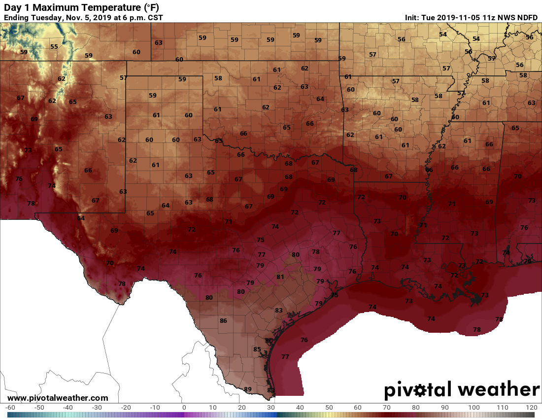
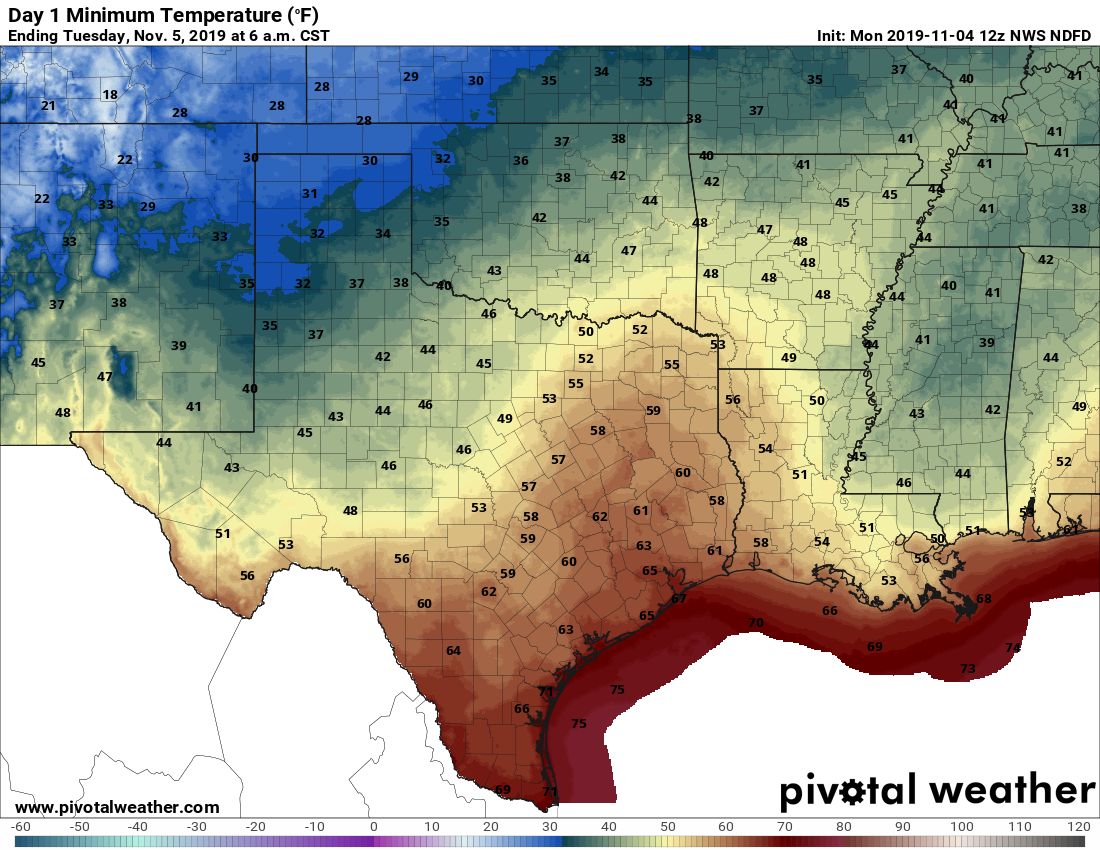
Bottom line—if you live north or east of Houston you may not see much rain at all, but if you live in Sugar Land you might get 1 to 2 inches. While we will see winds shift with the front, and some drier air, cooler temperatures are going to lag several hours behind. As a result, highs today should get into the upper 70s, and fall to around 50 by Friday morning.
Friday
Some light showers may linger into Friday in the wake of Thursday’s front. Even after they stop, however, clouds will remain, and this will be a cold and gray day. Highs are unlikely to get out of the low 50s. Friday nights lows should drop into the 40s, but how far will depend upon your distance from the coast.