Houston has enjoyed some moderately cooler weather over the last week or so, and the official high temperature at Bush Intercontinental Airport has not risen to 95 degrees or above since June 9. Well, it’s about time to go back into the frying pan. Also, if you missed Matt’s tropical update on Tuesday, I encourage you to check it out, as it provides an overview of what we’re looking at over the next few weeks.
Wednesday
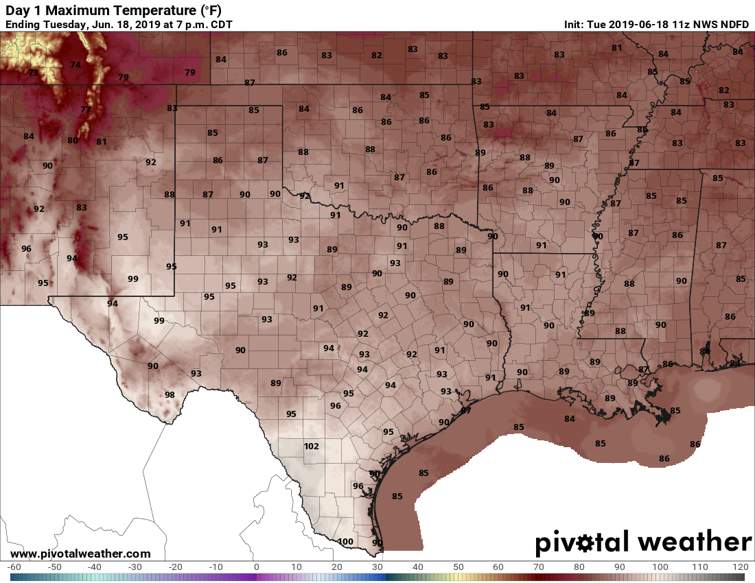
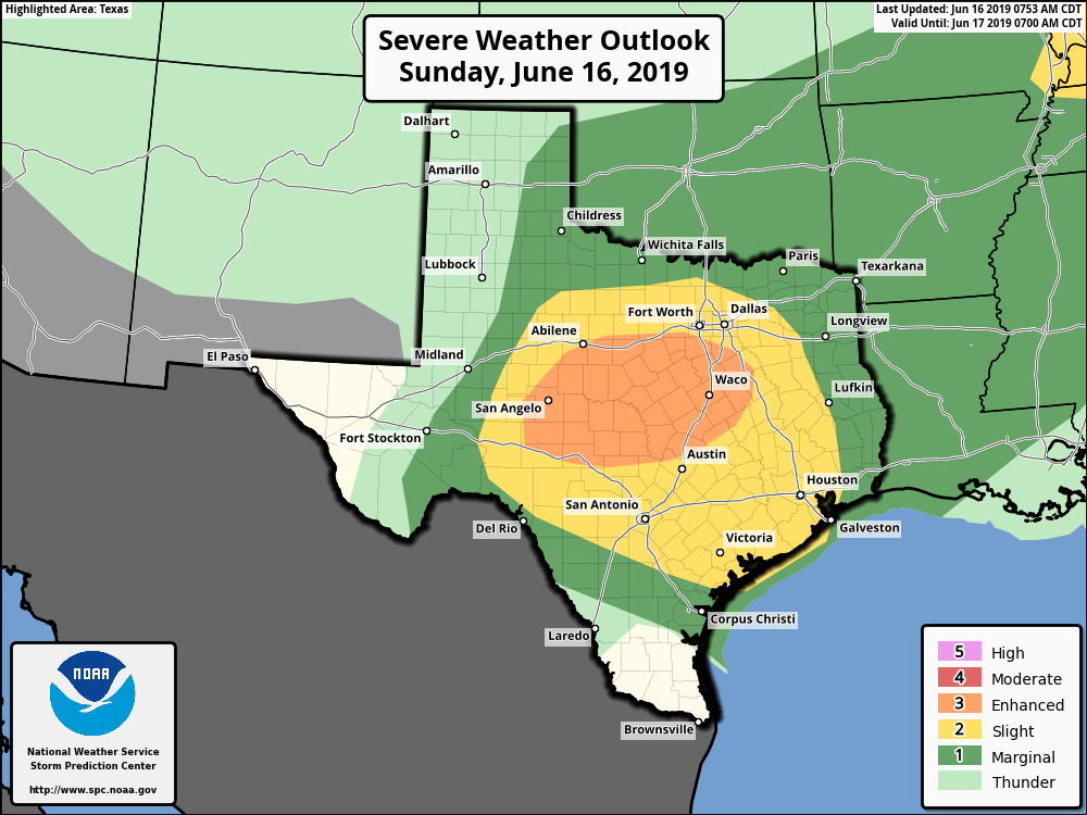
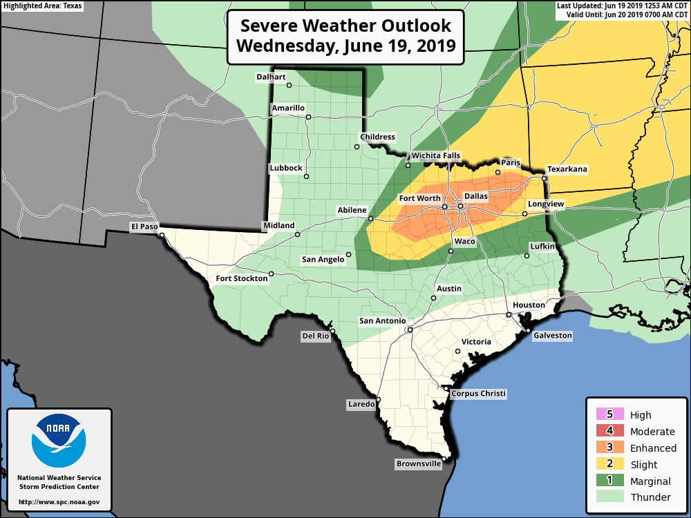
Highs today should be in the mid-90s with lots of sunshine. The atmosphere remains fairly moist, so it will be quite humid as well. Looking further afield, strong thunderstorms are possible in the Dallas-Fort Worth area later today or tonight, along with supercells that could produce tornadoes. Conditions are not perfect for such storms, but there’s an “enhanced” environment according to NOAA’s Storm Prediction Center. So if you’re traveling north today, bear that in mind.
This line of storms should sag south tonight, but forecast modeling indicates that it will peter out as it moves into counties well north of Houston, and likely die completely before reaching Montgomery County. Mostly, the Houston area can just expect a partly cloudy, warm night with low temperatures only falling to around degrees. That’s downright sultry.