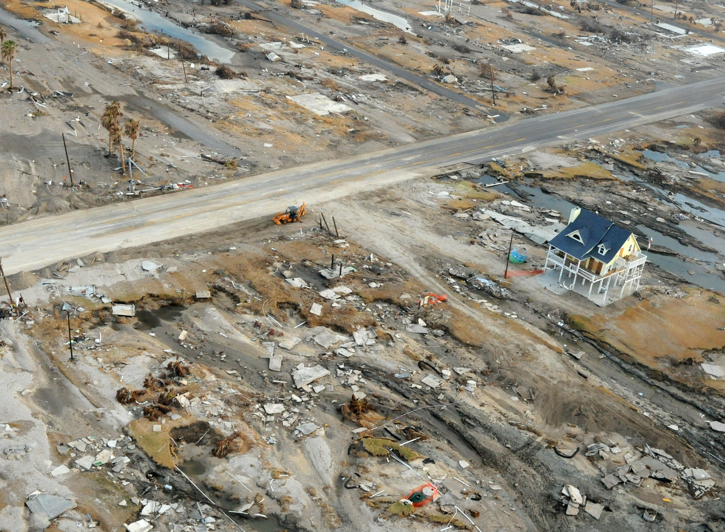
Anniversary Awareness: Ten years ago today we were watching the approach of Hurricane Ike, whose winds and storm surge pushed into Galveston on Friday, Sept. 12. I recall this time vividly, as I tried to grab a few hours of sleep in a darkened room in the Houston Chronicle‘s former downtown newsroom. Next door, at the Lancaster Hotel, a window blew out in my family’s room. I was powerless to help. Similar dramas played out across the region as the storm made a final landfall at 2:10am CT on Saturday morning. At the time, Ike ranked as the second costliest hurricane in U.S. history, behind only Katrina. It has since been bumped down to sixth, supplanted by Harvey, Maria, Sandy, and Irma. Unfortunately, the Houston region has yet to heed the lessons of Ike and enact any kind of surge barrier that would protect communities along Galveston Bay, expensive infrastructure along the Houston Ship Channel, or Galveston Island. The region remains highly vulnerable to a major storm surge event. On a personal note, a lot of the lessons I learned while covering Ike have made this site what it is today.
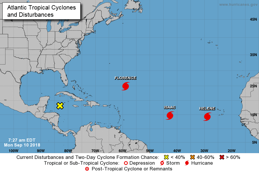
And now, the forecast. We’ll break this down into three parts: Rainfall potential for Wednesday and Thursday, Invest 95L and this weekend’s weather, and finally, a tropics update on the terribly threatening Hurricane Florence and, for now, a fading Tropical Storm Isaac.
Wednesday and Thursday
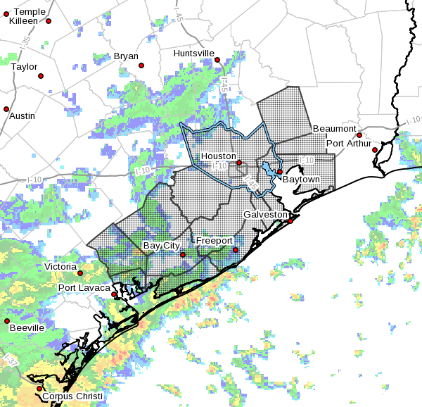
As anticipated, rain showers developed offshore early Wednesday morning and have begun moving inland into Matagorda, Brazoria, and Galveston counties. Although these storms are less intense and widespread that rains on Tuesday morning, they are nonetheless hitting some of the areas most affected by the earlier rains. Caution is urged on roadways in coastal counties and a Flash Flood Warning is in effect until 8:30 am CT. This pattern will likely more or less continue, with coastal areas picking up an additional 1-3 inches on Wednesday and Thursday, with higher isolated totals. Inland rainfall totals should, for the most part, be significantly less than this.