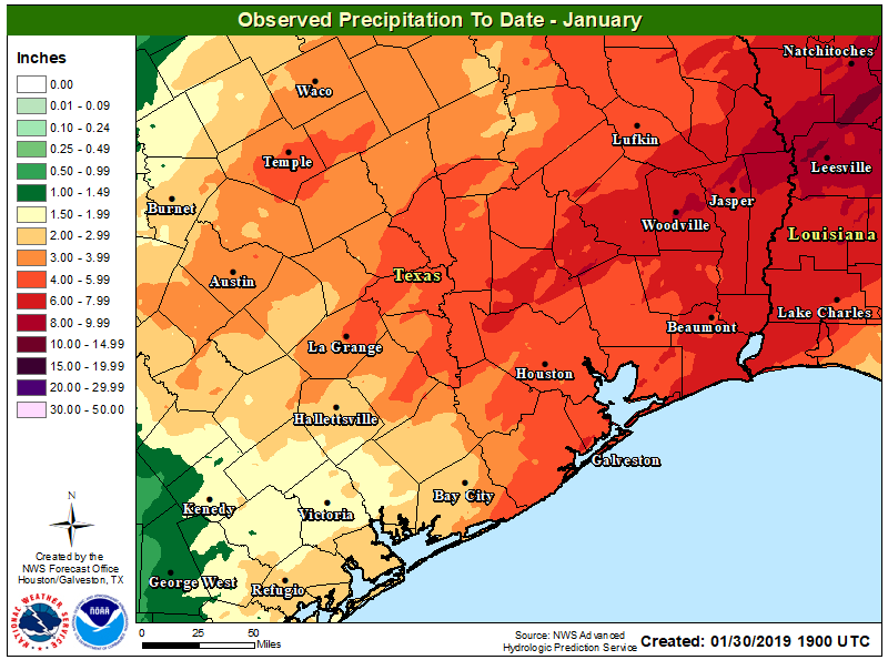
January comes to an end today, and overall it has been a more or less typical winter month. Temperatures are going to end within a few tenths of a degree of normal, and rainfall totals will for the most part be slightly above normal. February, however, will start on a much warmer note—with spring-like days and much warmer nights. Winter won’t return until about a week from now.
Thursday
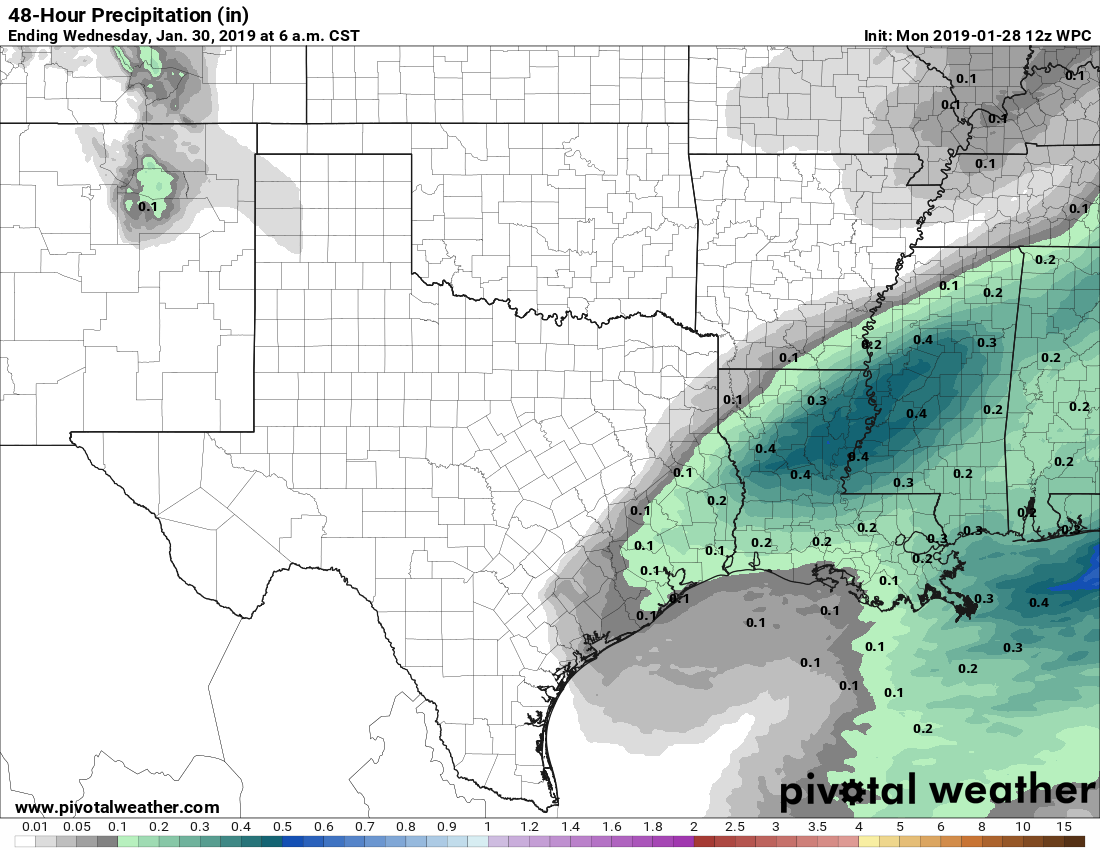
In addition to warmer weather, we’re now going to return to a wetter pattern without high pressure to shut rain chances down. Today, especially, should see some healthy rain potential as low pressure moves up the Texas coast. Chances will be best to the southwest of Houston, near Matagorda Bay, but coastal areas of the Houston region will also see a solid 50 to 70 percent chance of rain, with lesser possibilities inland later today. Accumulations should only be a few tenths of an inch. Cloudy skies should keep highs to about 60 degrees, with lows tonight only falling a few days off of daytime highs.