Houston’s weather will remain quiet, and mostly spring-like, until the arrival of a cold front this weekend brings a healthy chance of storms to the region. We’ll focus on that possibility in this forecast.
Wednesday
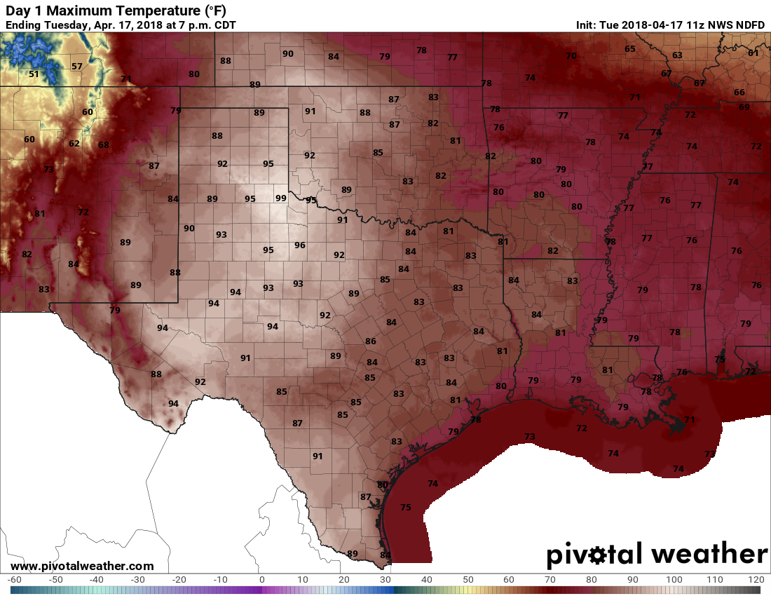
Highs today will be in the low 80s, with ample cloud cover as moisture streams into the region. Some (almost certainly very light) rain showers will be possible this afternoon, and during the overnight hours, as a cold front approaches Houston, and then pushes off the coast early on Thursday morning. Most areas probably won’t see rainfall, and those that do will only see slight accumulations.
Thursday
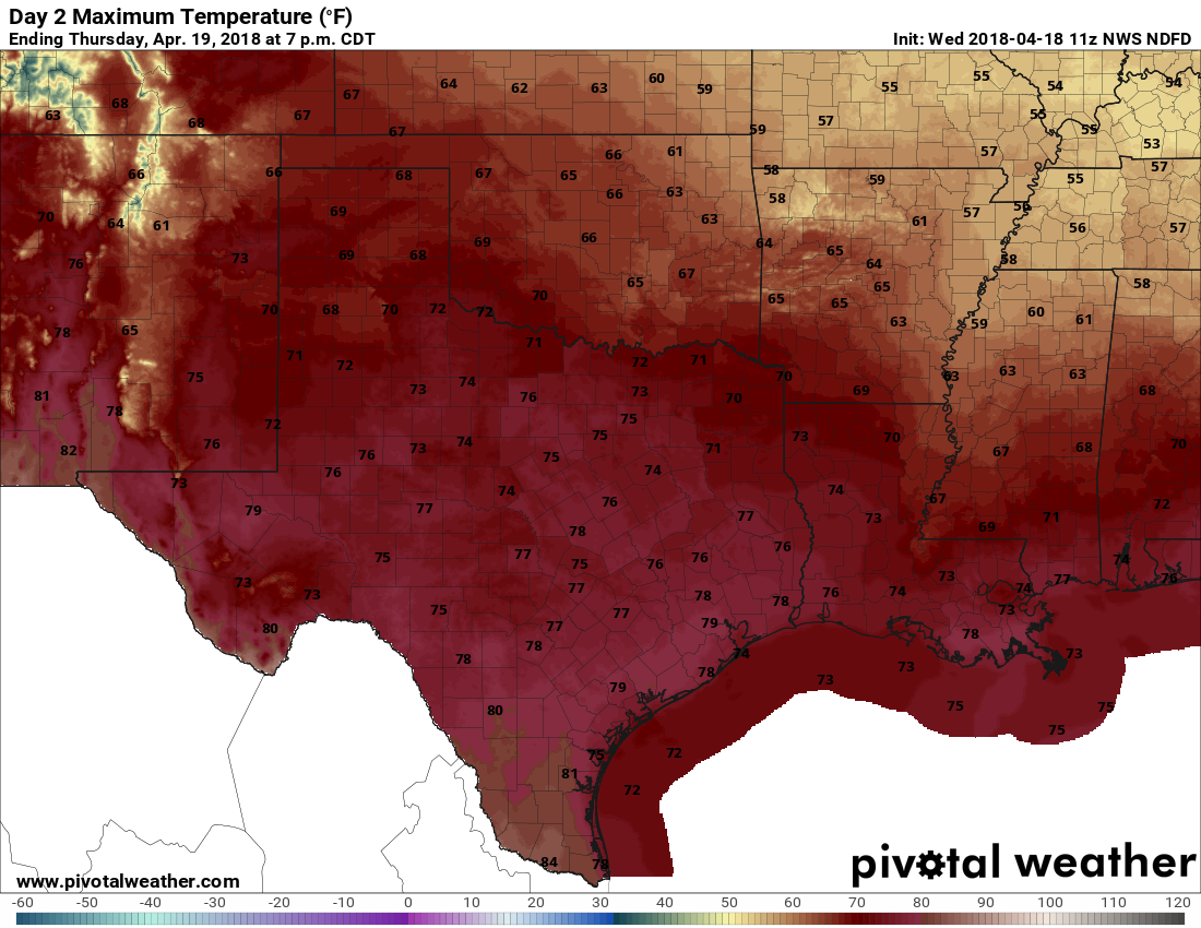
An exceptional day, with modest northerly winds, highs in the upper 70s, drier air, and sunny skies. Skip work, play hooky, plan an outdoor lunch—do whatever you need to do to spend this one soaking up springtime in Houston. Lows Thursday night will be in the 50s for inland areas, and lower 60s along the coast.
Friday
Another very nice day, with highs in the mid-70s, and partly sunny skies.