If you live well inland, you can just feel the effects of Tuesday’s front this morning. Low temperatures in places like Conroe, Crockett, and Cleveland all fell into the upper 60s, with most of the rest of Houston reaching the low- to mid-70s. Humidity levels remain quite high this morning, but the temperatures certainly are a welcome change from the super-warm mornings we experienced this weekend. Thursday morning should be similar, in terms of temperature, so enjoy this while it lasts. Otherwise, we’re going to be very warm for awhile.
Wednesday
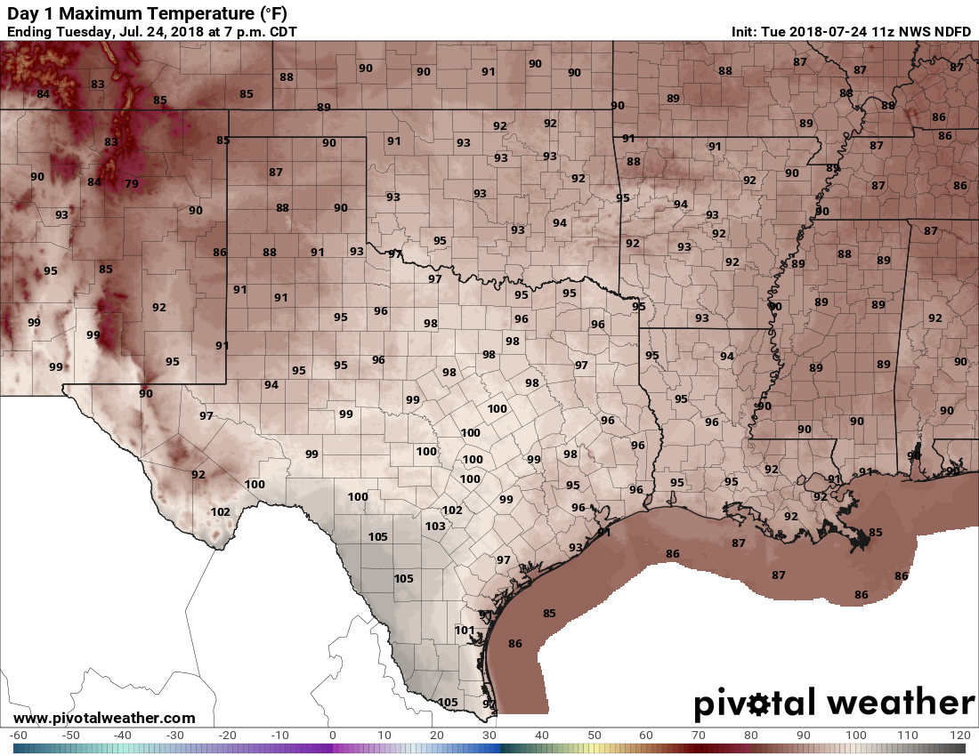
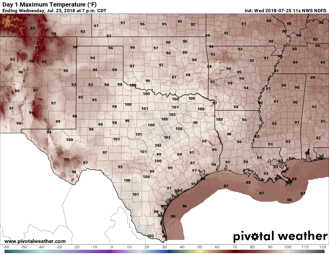
Some areas southwest of Houston—Colorado, Wharton, Jackson, and Brazoria counties—are seeing dense fog this morning. It should burn off a little later this morning. Elsewhere, after the slightly cooler start, clear skies should allow high temperatures to reach into the upper 90s. Winds will be light, and out of the northwest, with rain chances near nil.