Houston will see some spotty rain chances today before a cold front blows into the area tonight and brings chilly, holiday-like weather to the region for Thanksgiving. This will provide a nice contrast to the holiday’s weather the last two years, which has been muggier, with high temperatures in the 70s.
Tuesday
Some showers popped up near the coast this morning, and we will probably see additional showers and perhaps a few isolated thunderstorms to the south and east of the city today. A majority of the city will probably see little or no rain at all, however, as mostly cloudy skies limit high temperatures to the mid-70s. I expect a warmish evening before the front pushes through the region between midnight and sunrise on Wednesday morning. A broken line of storms may accompany the front.
Wednesday and Thursday
Expect breezy conditions when you wake up on Wednesday, as cooler and drier air will be blowing in from the north. We could see wind gusts in the upper teens to lower 20s of mph, and highs should only warm into the mid-60s under sunny skies.
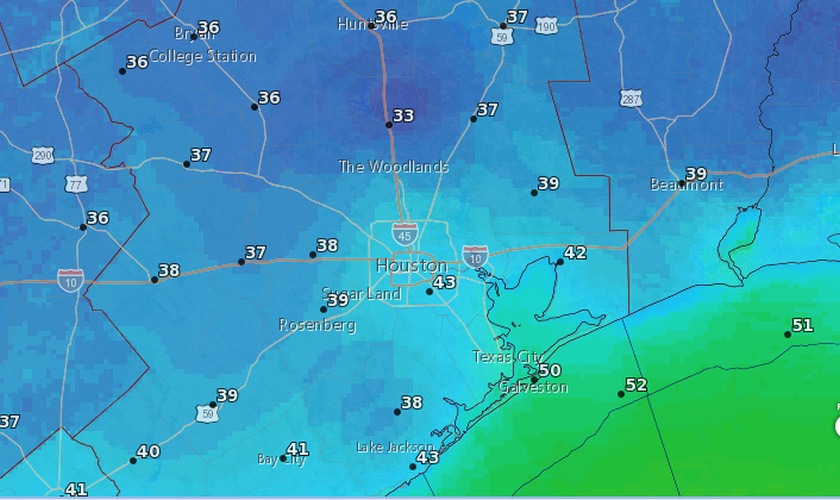
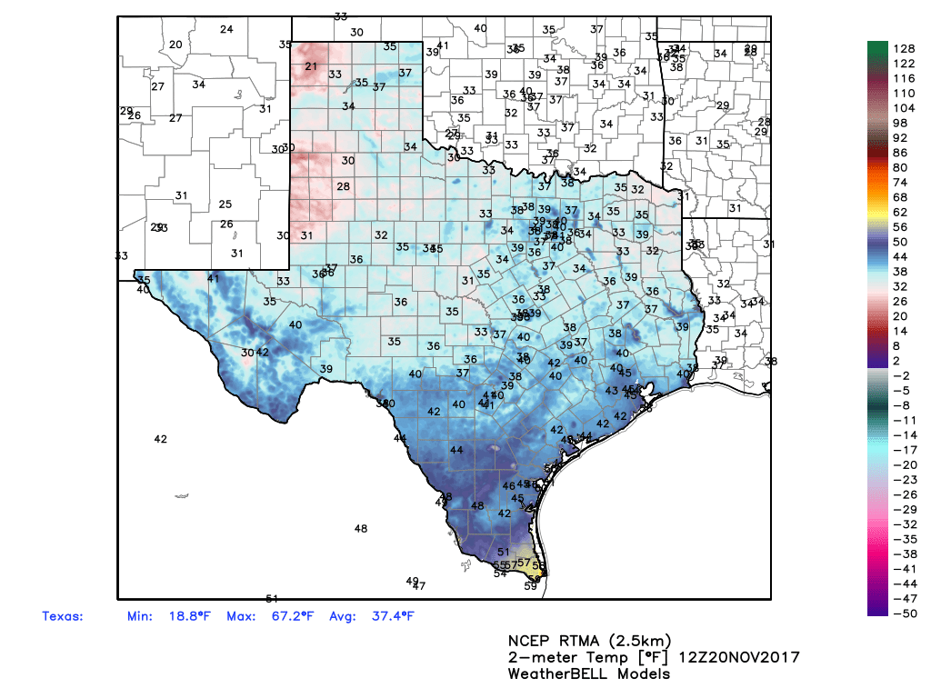
Wednesday night and Thanksgiving morning will be a cold one, with lows in the mid- to upper 30s for inland areas, and lower 50s right along the coast. After a clear and cold start to Thanksgiving, expect light winds, sunny skies, and a high of around 65 degrees during the afternoon.