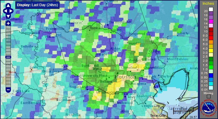
Tuesday offered a quiet day across the Houston region, and our weather for the rest of the week will probably be more or less the same, with warm days and the potential for some scattered showers and thunderstorms.
Wednesday and Thursday
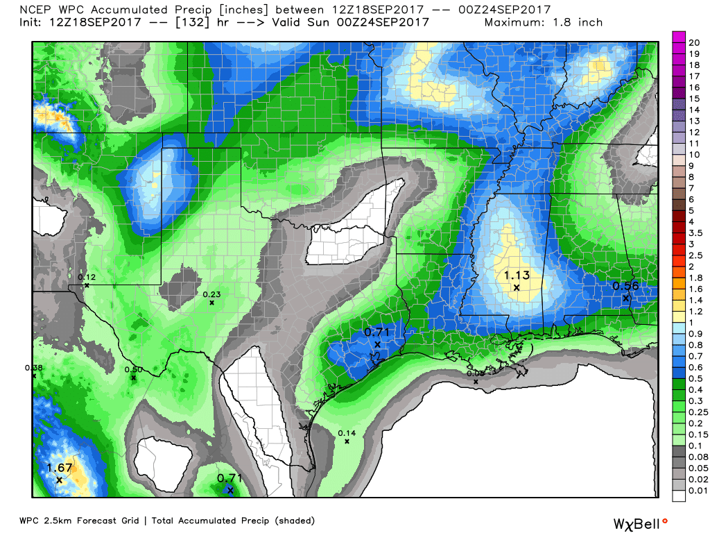
In the absence of high pressure, and moderately high moisture levels, we’ll see partly sunny skies on both days with a chance of afternoon and evening thunderstorms. This will probably be the case where a few isolated areas get one-half or more inch of rain, while the rest of the metro area receives light rainfall, or none at all. Either way, any rain should die off around sunset, and should present no flooding issues. Look for highs around 90 degrees.
Friday and Saturday
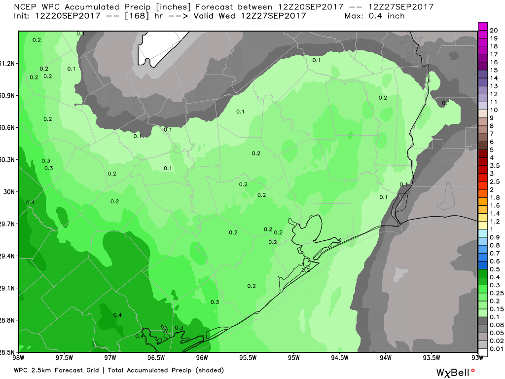
Not much change heading into the weekend, but as higher pressure edges closer to the region on Friday, I’d expect mostly sunny skies and highs of around 90 degrees—with only isolated showers. We can’t rule out rain on either of these days, but I would not expect it. These should be good days for the beach or other outdoor activities for which you don’t mind a little bit of late-summer heat.