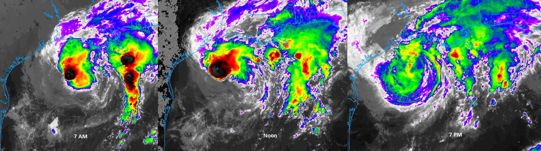
2:35pm CT Wednesday update: Good afternoon, and it’s good to be back. Thanks to Eric for dealing with an absentee site partner for the last couple weeks and getting us from Beta to Delta. I sincerely hope this is the last storm we have to write about for the Gulf this year.
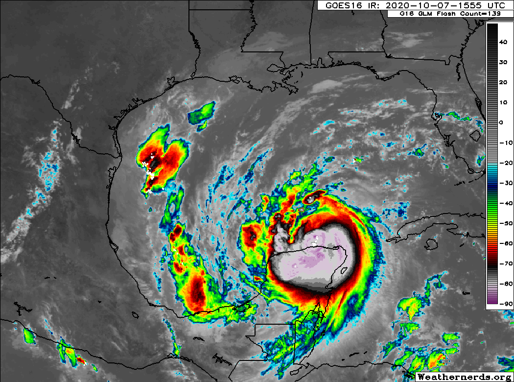
Hurricane Delta is emerging into the Gulf from the Yucatan this afternoon.
After being one of the quickest intensifying storms on record, Delta has taken a beating over the last 18-24 hours and, while it’s holding its own, maximum sustained winds of 100 mph may be a bit generous here. Either way, Delta is now back over warm water with relatively low wind shear, so odds favor it beginning to reintensify tonight.
The track forecast has continued to nudge a bit farther west, however that trend appears to be stable or ending now, and I think we’re close to the maximum for how far west Delta will track.

The last big holdout, the European model, which had been advertising landfall near the Texas/Louisiana border has shifted east by a good 25 miles or more today, and virtually all reliable model guidance now has Delta’s landfall occurring between Cameron, LA and the western edge of Vermilion Bay, or very close to/slightly east of where Laura made landfall. A word of advice: Don’t focus too closely on every wobble and maneuver Delta makes over the next 24-48 hours. While there is still a small degree of uncertainty on the exact track of Delta, the odds that there would be a significant enough shift to detrimentally impact the Houston area is very, very, very small. We all brace ourselves for The Turn™ during these events, and it will happen.
As far as intensity goes, modeling has been slowly easing up on the excitement since last night. Some of that is likely due to what happened to Delta on approach into the Yucatan and land interaction. But as of this afternoon, virtually all intensity forecasts are for this to not get above a category 3 storm in the Gulf before it weakens on approach to the coast. Wind shear is going to likely increase significantly, and the storm will encounter cooler water as well beginning tomorrow night or Friday morning.
That said, the biggest change with Delta over the next couple days will likely be the expansion of its wind field. Larger storms usually have lower intensity ceilings, but they compensate for that by spreading tropical storm or hurricane force winds out over a larger area. You can see this wind field expansion on the HWRF model by looking at 10 meter winds (winds experienced at ground level will be somewhat lower than shown here). The map at left is this evening’s forecast, while the map at right is for Friday afternoon. Both maps are at the same spatial scale, and you can see how the tropical storm force wind field (green, yellow, red) basically doubles in size as Delta comes north.
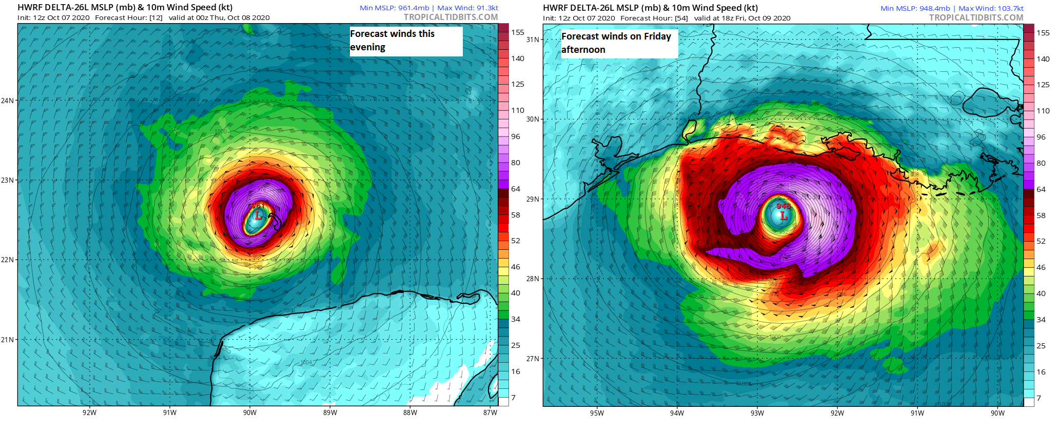
Hurricane force winds are in purple here also. So despite Delta perhaps being weaker, it will likely have impacts spread over a large swath of Louisiana and perhaps eastern Texas, with a significant surge once again possible along and east of where the center goes.
Speaking of surge, the first National Hurricane Center surge outlook was posted today, showing the potential for as much as 11 feet of surge above ground level if Delta comes ashore at high tide on Friday.

These surge values are rough, though certainly not quite as catastrophic as those seen in Hurricane Laura. But 11 feet of water is a bad day, and unfortunately, the areas around Vermilion Bay that were hammered during Laura are going to get another significant event with Delta.
Locally in the Galveston Bay area, we expect surge impacts to be more like Laura than Beta, with minor overwash possible near Bolivar and perhaps down Bluewater Highway south of Galveston into Brazoria County. Surge should not be much worse than 1 to 3 feet above normally dry ground. Storm Surge Watches have not been posted in our area, but they are hoisted east of High Island. Tropical Storm Watches have been posted from San Luis Pass to High Island.
Will we see tropical storm force winds in the Houston or Galveston areas? My hunch right now is that we won’t see this in Houston. Galveston always has a chance to briefly get to tropical storm force gusts or even sustained winds at times. But this would be mostly a Friday issue. At this point we don’t expect significant problems from wind in the Houston or Galveston areas.
For folks in southwest Louisiana and around the Beaumont/Port Arthur areas, the story is a little less clear. Assuming the wind field does expand as expected, we would likely see tropical storm force gusts and perhaps a period of sustained tropical storm force winds (35-55 mph) in the Beaumont or Port Arthur areas. In Lake Charles, which is still far from recovered from Laura, we expect about an 80 percent chance of sustained tropical storm force winds (greater than or equal to 39 mph) and about a 30 percent chance of sustained hurricane force winds (greater than or equal to 74 mph). This will not be another Laura in Lake Charles by any means whatsoever, however given that many, many structures in the city have not yet been repaired, this does have the potential to produce some considerable damage, particularly the farther west it comes ashore.
As far as rainfall goes, we don’t expect to see much more than perhaps a few outer bands in the Houston and Galveston areas. Rain totals will be manageable and no flooding is expected in our area.

In Louisiana, up to about 6 to 8 inches will be possible along and east of where the center comes ashore, which could cause minor to moderate flooding issues but really isn’t all that bad as far as these storms go. Delta will be a quick mover and out of there by Saturday morning.
Unless something dramatic changes this evening, our next update will be our regularly scheduled update on Thursday morning.