As we’ve been telling you for essentially weeks now, the tropics are becoming very active. Some of this is just basic math—as we approach late August and September, the tropics usually come alive. But there is more at play this year, with things happening in the background that should allow for basically an “outbreak” of sorts of tropical systems across the Atlantic basin in the days ahead.
Tropical outlook in a sentence
There will be at least two legitimate opportunities for tropical systems to develop and potentially impact some part of the Gulf of Mexico over the next 10 days, and an additional system or two may develop farther out in the Atlantic as well.
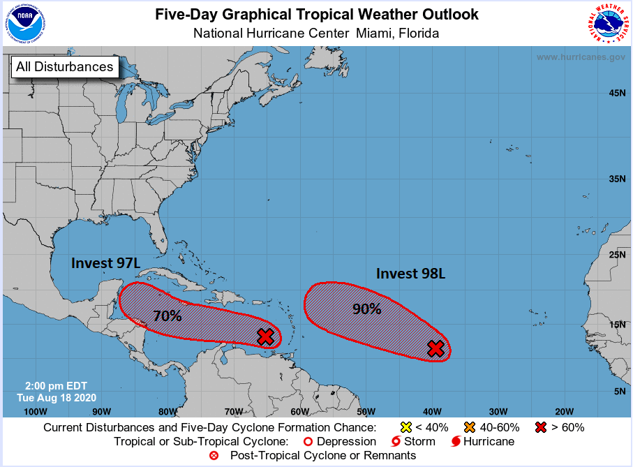
Invest 97L: First in line
The system the models are most bullish on is Invest 98L, which we’ll discuss below. But the one we are most concerned with more immediately is Invest 97L, because this is closer to us, and it is the type of system that can sneak up on us and cause some problems.
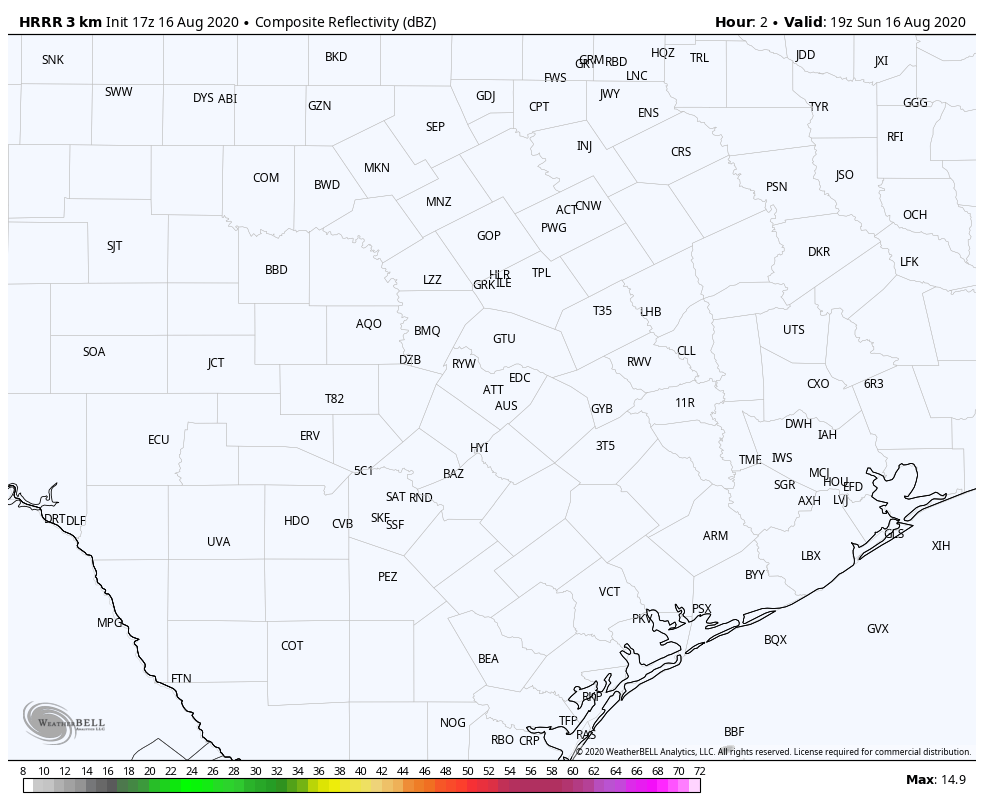
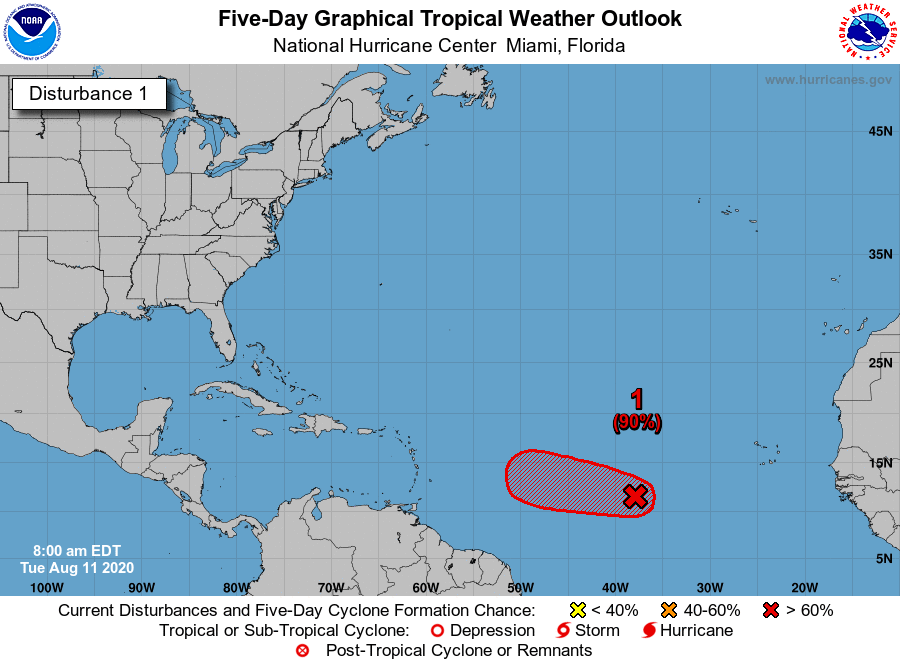
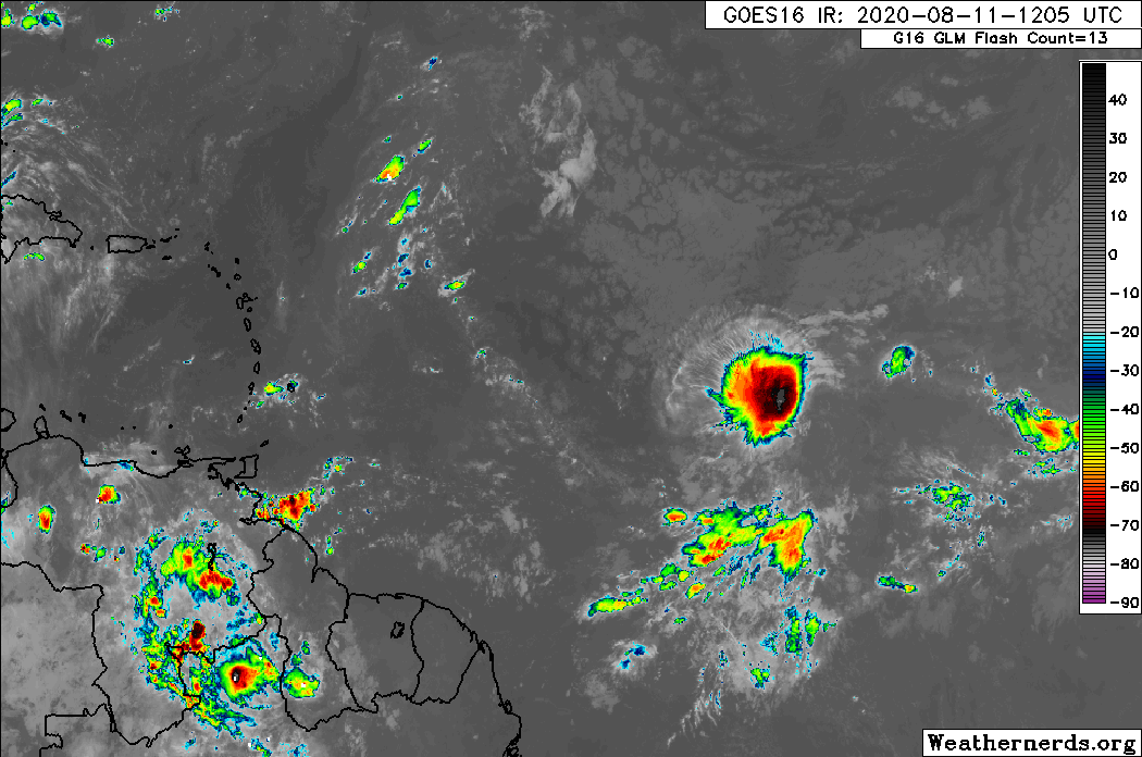
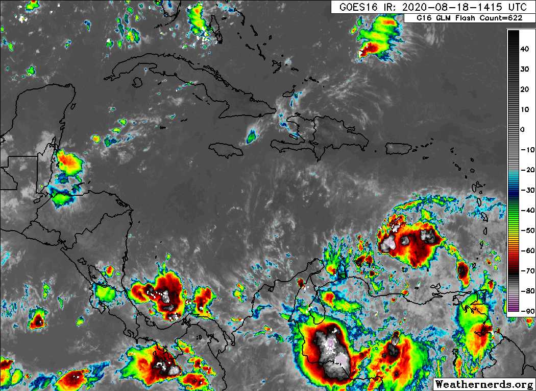
Invest 97L is currently over the eastern Caribbean Sea. It’s not terribly well organized, and you can see a satellite loop from Tuesday afternoon showing mostly just a “blob” of storms at this point.
Over the next few days, 97L will plod along in the Caribbean, interacting at times with a disturbance over South America. So development is only expected to be slow or gradual. Eventually, it will end up in the western Caribbean, somewhere near the coast of Honduras or the Yucatan. I can hear 75% of our audience now saying, “Wait, that’s how Harvey happened, right?” And the answer is, “Sort of, yes.” It’s the elephant in the room here, obviously, so let’s discuss and compare real quick.
By the time the disturbance gets into the Western Caribbean this weekend, the upper air pattern will be favorable for it to gradually lift north. Here’s a map from the GFS ensemble valid on Saturday afternoon. We’re looking at the 500 mb level, or about 20,000 feet up, basically the large-scale steering pattern for this time.
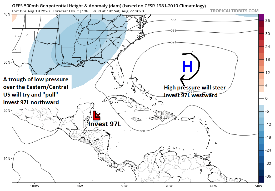
On Saturday afternoon, 97L should be off the Yucatan or Belize or just north of Honduras. It will be steered to the west by high pressure near Bermuda, while at the same time, a trough of low pressure in the upper atmosphere over the Lower Mississippi Valley is going to try and “pull” Invest 97L to the north. So at this point, the system should be moving to the northwest.
So in that respect, a middling system that gets pulled north and west across the Yucatan and into the Gulf of Mexico, Invest 97L is similar to Harvey. But I’m going to intentionally stop with the similarities there because the potential of what this does is much different from Harvey.
There is a chance that the trough remains strong enough to continue in its effort to “capture” Invest 97L, allowing it to come north into the Gulf and toward Louisiana or perhaps the Upper Texas Coast. That scenario can’t be ruled out. There is also a chance that Invest 97L gets “missed” by the trough and ends up stationary without much to steer it over the Gulf of Mexico. While that’s not a huge rainmaker on land, that becomes problematic because there would be a chance Invest 97L could strengthen while sitting offshore. Another possibility is that the Bermuda high continues to expand so much so that it just pushes 97L into Mexico as a weak rainmaker. Harvey was a once in a lifetime storm in terms of rainfall, so we don’t want folks to worry about a “Harvey” type storm right now. There are indeed some similarities in the initial overall big picture, yes. But that’s where it ends right now. What we should be doing (and what Eric and myself will be doing) is making sure we are prepared to take action late this weekend or early next week just in case it becomes clear that 97L will become a problem for us. We will keep you posted.