There should not be any real surprises about the overall weather pattern over the next several days, as standard summer fare looks to be the rule for the Houston area.
Today
Friday might be the best opportunity for us to not see rain over the next week. Those rain chances certainly are not zero today, but any activity is expected to be minor and isolated. Sunshine should rule, with hot temperatures peaking in the mid-90s, give or take.
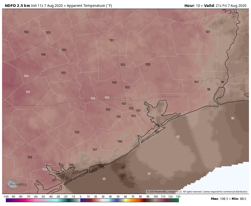
Heat index values could push 105° at times, a theme that will continue through the weekend.
Weekend
The weather this weekend should be fairly typical for summer with sun, clouds, highs in the 90s, lows in the 70s, and a requisite 20 to 30 percent rain chance each day. Chances may be slightly higher Sunday over Saturday, but it’s possible you could see a passing downpour on either or both days.
Next week
I believe Monday has a decent chance at being very similar to today, with mainly sunshine and mid-90s. Tuesday through Thursday should see a bit of a “weakness” open in the upper level weather pattern over Texas that is conducive for more showers and storms to develop. However, this may skew to the east of Houston, meaning rain chances next week look higher in Baytown or Beaumont than they do in Katy or Cypress. Still, expect to at least hear some thunder in the area at times, with sun and clouds and some passing showers otherwise. Highs will be again in the 90s, with lows likely in the 70s.
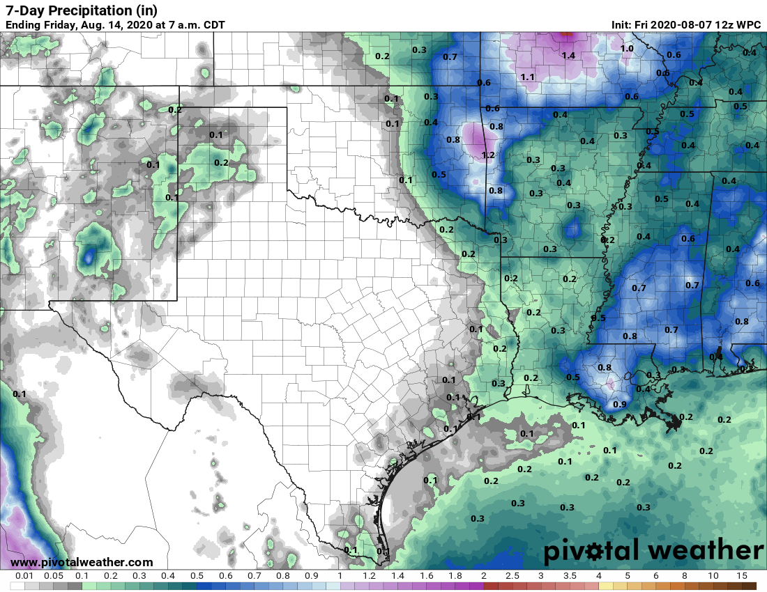
Total rainfall over the next week will be low on average, with some folks likely seeing no rain at all. Others may pick up an inch or two in isolated spots as a slow moving downpour passes. The takeaway here is that we don’t see any sort of organized, significant rain chances through at least the middle of next week.
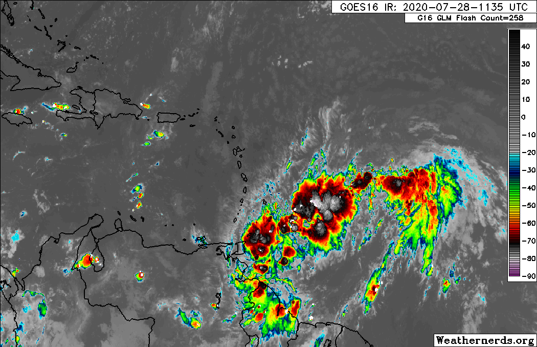
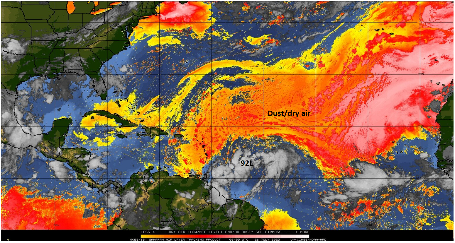
Tropics
Eric’s post yesterday did a nice job explaining why we should not be giving into fearmongering, which will inevitably happen over the next couple months. I urge you to read the final section of his post from yesterday if you missed it.
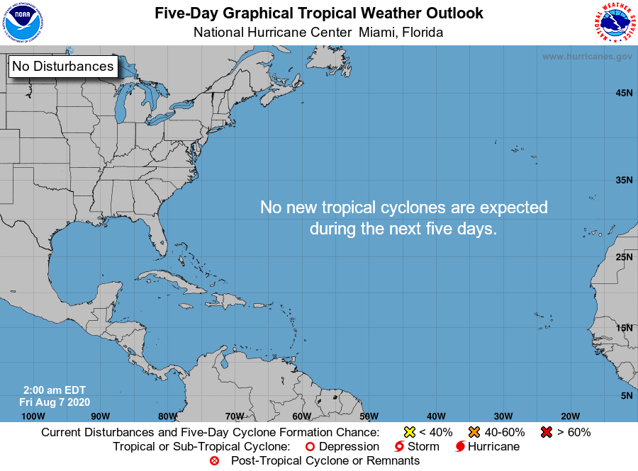
The National Hurricane Center’s 5-day outlook map is nice and blank this morning; good news for sure. The next item to watch may or may not develop, but it would likely appear on our radar by midweek next week. We have talked about the expectation that things will rev up later this month, so let’s enjoy the quiet now. Worth noting, NOAA’s seasonal hurricane outlook was revised yesterday, and like Colorado State’s the day prior, it calls for a very, very active close to hurricane season.
*Updated* 2020 Atlantic #HurricaneSeason Outlook now calls for: 19-25 named storms of which 7-11 could become hurricanes, including 3-6 major hurricanes. https://t.co/eTEA0awEWX @NWS @NWSCPC #HurricaneOutlook pic.twitter.com/UmOiRC6UcI
— NOAA Communications (@NOAAComms) August 6, 2020
For those of you scoring at home, that would be 10 to 16 additional tropical storms, 5 to 9 additional hurricanes, and 3 to 6 major hurricanes between now and November.
It’s important to understand what these seasonal outlooks are not predicting: A direct hit on Texas. Yes, that certainly could happen again, but we have seen seasons in the past that have been extremely active and spare Texas. Take 1995 for example. It was the 5th most active season on record (based on Accumulated Cyclone Energy), and yet Texas was only impacted by Tropical Storm Dean, a minor flood event. I remember 1995 well because I was a 13 year old weather weenie walking around with a t-shirt that had every storm plotted on the back. The Caribbean Islands were raked that season, but the western Gulf was spared (the eastern Gulf took a late season hit from Opal in Florida). Most of the storms in 1995 were “fish” storms that recurved north and northeast in the open Atlantic. I’m not going to tell you that this year will behave that way; we just don’t know. But I know a lot of folks see these forecasts and fret, justifiably so. We are not thrilled by the long-term signals of high activity either, but there are no guarantees in weather. Eric touched on this thoroughly on Wednesday. Hurricanes are a part of life on the Gulf Coast, so your best antidote to fear is preparedness. That’s where our mindsets should be right now.