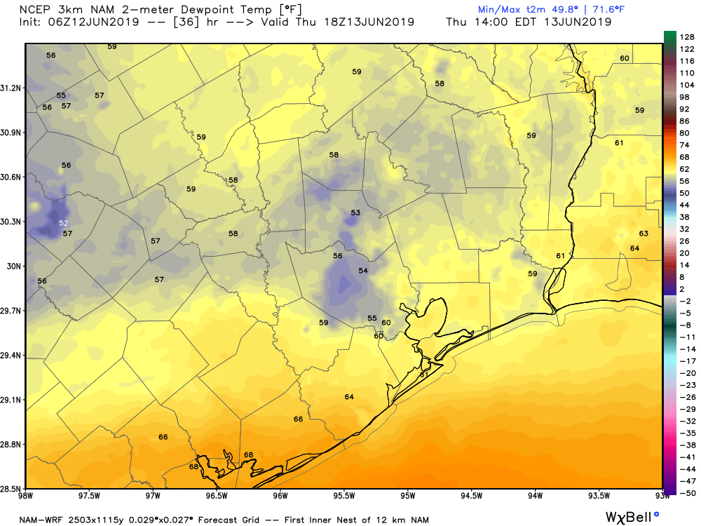
Dry air poured back into Southeast Texas yesterday, and despite high temperatures near 90 degrees, it really didn’t feel bad at all. In fact, dewpoints dropped into the 50s officially at IAH Airport for the first time in June since 2017. We’ve got one more day of this nice stuff today before we return to more standard summer.
Today
Sunshine dominates once again. With dry air in control, we should again see humidity drop to near “comfortable” levels for many parts of the area. Look for high temperatures to pop back to 90 or better for most, however.
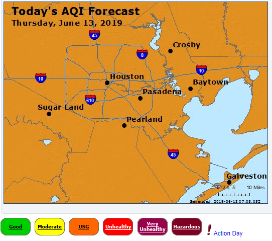
Winds will again be on the light side, so expect air quality to be fairly stagnant once again. While not as bad as Wednesday, today will again be an ozone action day, with poor air quality this afternoon. If you’re in a sensitive group or struggle on bad air quality days, take it easy and try to stay indoors later today. If you’re ever curious about the air quality outlook, the Texas Commission on Environmental Quality publishes 4-day forecasts each day. You can bookmark that link here.
Friday
Look for another sunny day tomorrow. The difference will be in the humidity. Dewpoints are expected to slowly rise late tonight and most of the day Friday, and they should end up back around 70, or uncomfortable, by Friday evening. Expect us to start the day pleasant (mid-60s) and finish hot (low-90s). Air quality will improve a bit as onshore winds kick up during the day.