Temperatures peaked in the middle 90s on Thursday, as we saw a little more morning cloud cover and a lot of haze than in prior days. Incidentally, the haze isn’t Saharan dust for a change. It is actually courtesy of the wildfires you’ve likely heard about in the news in the West.
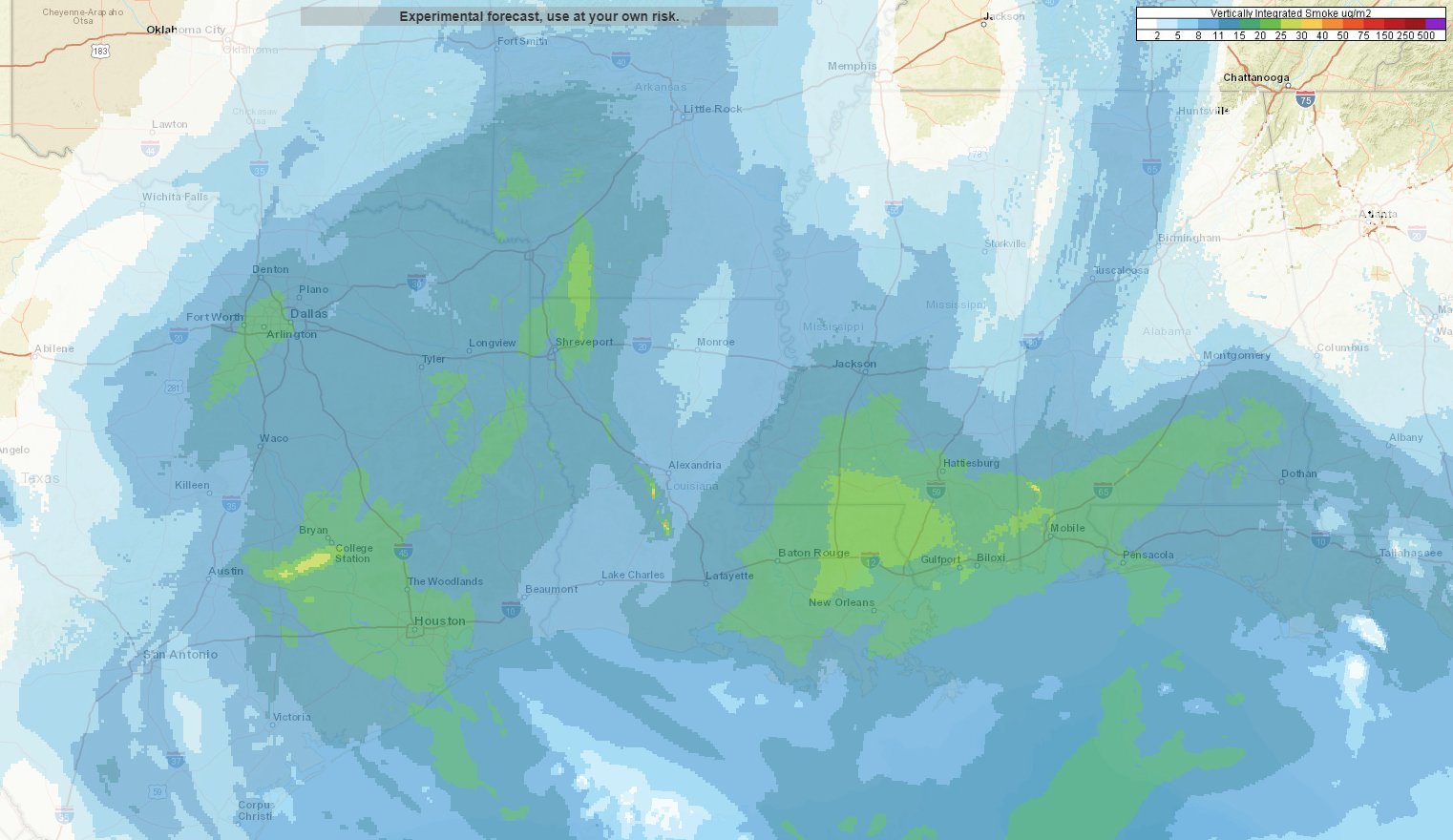
Expect somewhat poor air quality, with haze and smoke, along with elevated levels of ozone to impact the region through tomorrow. Air quality should slowly improve by the end of the weekend. Temperatures will not improve much unfortunately.
Friday and Saturday
It looks like we’ll be experiencing more in the way of typical August weather over the next couple days, but with very low rain chances. Folks will be lucky if they see an isolated downpour through tomorrow. Otherwise, it will just be hazy, sunny, and humid. High temperatures today and tomorrow should approach the upper-90s to near 100 degrees. Morning temperatures will be in the upper-70s, with a face full of humidity.
Sunday and Monday
Things change just a little here. I would expect partly to mostly sunny skies, with high temperatures generally in the mid-to upper-90s and AM lows again just under 80 degrees. The main difference between Sunday & Monday versus today and tomorrow will be a slight boost in rain chances. If chances today and tomorrow are 10 to 20 percent, chances Sunday and Monday will be roughly 20 to 30 percent. So, you’re still not necessarily likely to see any showers, but your odds are a bit higher here than they will be today or Saturday.