Before we dive into the forecast, just a quick note. Eric and I were interviewed by Houstonia Magazine for their August issue. In it, we give answers to some of the most common weather questions we get about Houston and our “crazy” weather, as JJ Watt so aptly put it on Wednesday.
Besides our Q&A, the issue looks like it’s going to be fantastic, with articles and lots of cool pictures from weather events of the past throughout the Houston area, so be sure to check it out and pick up a copy!
Onto the weather.
Today & Weekend
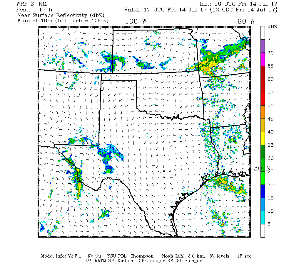
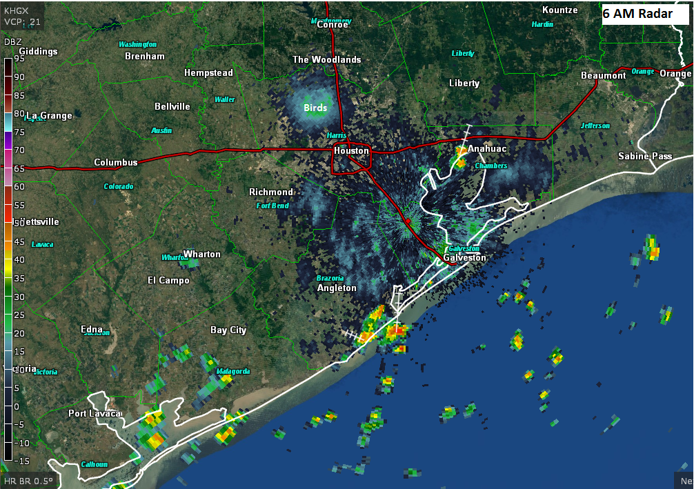
Houston’s high summer continues, with a lot of repetition in day to day weather around the area. I expect that today will look a lot like yesterday. However, I wouldn’t be shocked if we see a couple more showers and thunderstorms in the afternoon or evening, especially south and well east of Houston. Large scale high pressure in the upper atmosphere to our north weakens considerably day over day, which should at least offer up a more favorable atmosphere for storms. That said, I’m not sure we quite have a trigger in place for too many more of them just yet.
Either way, it looks hot and humid again today, with highs in the mid-90s in Houston. Yesterday and Wednesday were officially the two hottest days of summer so far, with high temperatures of 97° both days at IAH Airport.
For Saturday, upper level high pressure weakens even more, and we add an upper level disturbance to the mix. This combination should allow for much greater coverage of storms than we’ve had late this week. I don’t think Saturday ends up a washout or anything, but the odds that you’ll have to dodge some raindrops and lightning for a period of time are elevated. Be prepared to find some indoor shelter for a bit Saturday if you’ll be outdoors.
Likewise, Sunday should see that upper level disturbance overhead or nearby, leading to healthy coverage of showers and storms with daytime heating.
With clouds, showers, and a generally cooler atmosphere, temperatures this weekend will be held down. Expect an average of lower 90s in the city, hotter northwest with lower rain chances and cooler southeast with higher rain chances.