Rain has come at a premium in recent weeks, with only about a half inch officially at Bush Airport over the last 30 days. This weekend will likely see us add to that, but probably not in too big a fashion.
Today
No issues today. Yes, there may be a couple showers around this afternoon, especially east of I-45, but none should be particularly significant. So if you have outdoor plans today, it would be good to have an umbrella handy, just in case you briefly need it. Odds are you won’t have to open it though. Temperatures will likely top off around where they did yesterday, the upper-80s to low-90s. Galveston has yet to drop below 80° this morning and is likely to set or tie both another record high and record warm minimum temperature today.
Saturday and Sunday
If you have outdoor plans this weekend, I think the best advice is to just have an umbrella. You’ll probably need it at some point, but not most of the time.
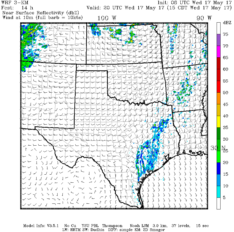
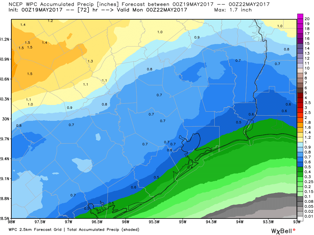
Both Saturday and Sunday afternoons will likely have some rain and storms in the area. I think the better chance of widespread storms is Saturday overnight into Sunday afternoon. Most folks should see at least some rain, but only a few areas will see heavy rain. Average rain totals this weekend should be around 0.5″, but a few places will likely see one or two inches of rain and others less than 0.5″.
High temperatures should max out a couple degrees cooler than yesterday and today, with mid to upper 80s (perhaps near 90° Saturday with enough sun). Overnight lows will be in the mid to upper 70s. You may notice slightly more comfortable weather later Sunday, but it won’t be anything to get too excited about.
(Space City Weather is sponsored this month by Jetco Delivery)