After a weekend which has seen two record high temperatures broken in Houston, we turn our attention to thunderstorms and the possibility of severe weather on Tuesday. There’s been some “noise” about that being a possibility, so we want to give you a quick synopsis. Eric will have the latest in the morning.
Cooler Weather to Come
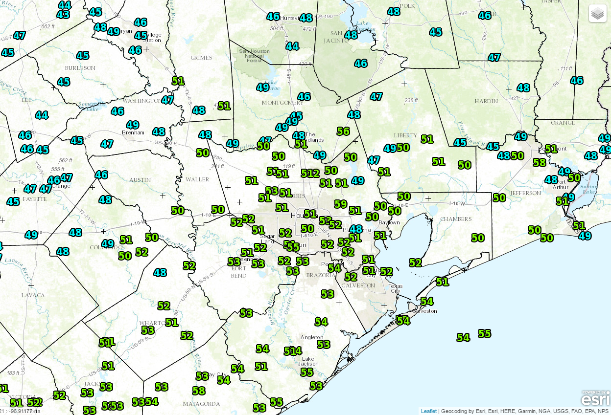
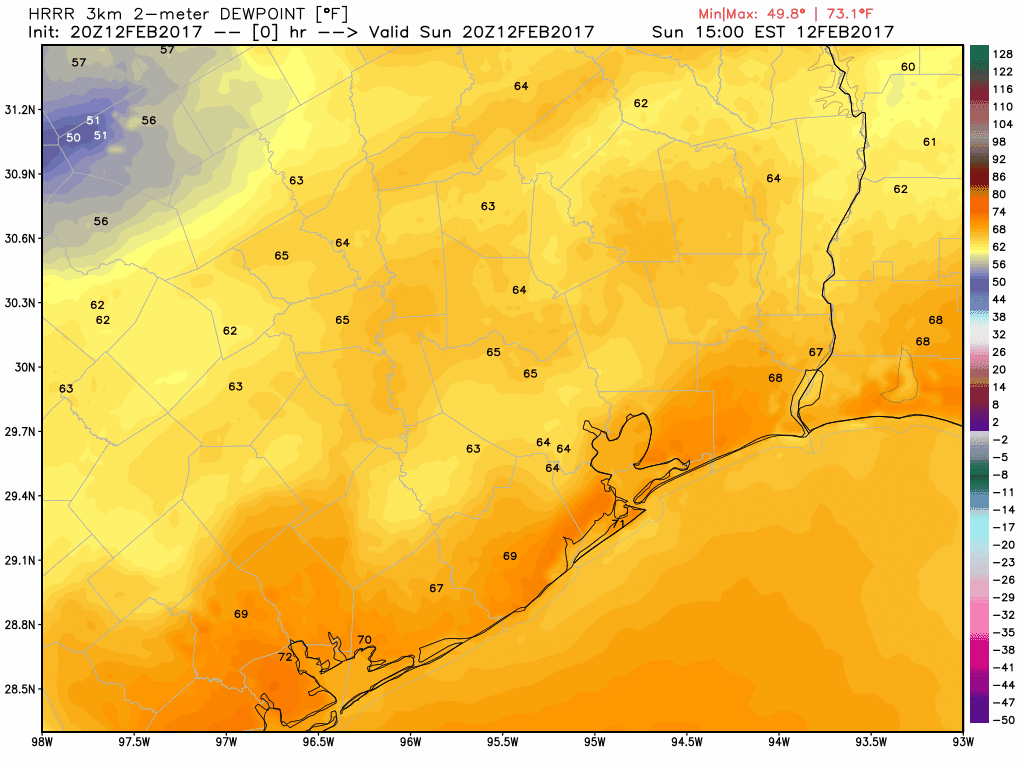
We hit 85° on Saturday, breaking the record of 82° from 1999. We exceeded that Sunday, hitting 86° and breaking the 95 year old record high of 84° from 1922. A weak cold front will push through tonight, and that will end the record warmth. This is evident when you look at dewpoints. The HRRR model below shows the higher dews getting blunted back southward as the front rolls through.
So tomorrow is a transition day. We’ll see a mix of clouds and sun, maybe a shower, and temperatures peaking in the low 70s. Meanwhile, an area of low pressure will develop in West Texas, bringing places like Lubbock (that hit 91° yesterday) a chance of snow. That becomes our weather-maker for Tuesday, bringing us rain & thunderstorms.
(Space City Weather is sponsored this month by Darrell Lee’s The Gravitational Leap)