Good morning. The humidity has come surging back this morning. Whereas yesterday at this time we had a relative humidity of 64% and a dewpoint in the 40s, this morning sees relative humidity at 93% and a dewpoint into the mid-60s. The dry, pleasant weather was nice for a day. We’ll now begin a somewhat unsettled period of weather through Monday, though probably without any real serious issues.
Today
Clouds this morning may actually produce some drizzle or light rain showers a little later this morning before things attempt to clear out a bit this afternoon. Inland areas, mainly north of I-10 could see an isolated downpour or thunderstorm this afternoon with daytime heating. It’s likely that many of you will not see that today, however. Look for highs in the 80s or upper 70s if clouds stubbornly hold on. Winds won’t be too terrible, but look for a 5 to 15 mph southerly breeze today.
Saturday
Temperatures tonight get held up because of clouds and a warming air mass, so look for Saturday to begin with 70s in most of the area. That head start should allow us to easily push deep into the 80s to near 90 degrees tomorrow afternoon with a bit of sun after morning clouds.
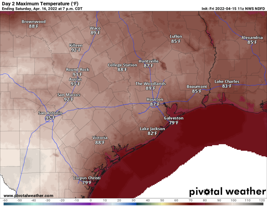
A shower can’t be entirely ruled out but most areas will stay dry. South winds of 5 to 10 mph will provide minimal relief.
Easter Sunday
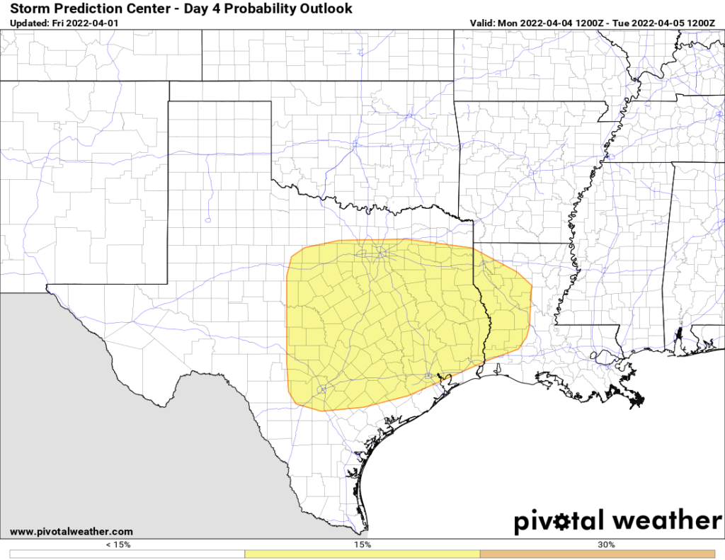
South of I-10, Sunday’s forecast is actually pretty straightforward. Look for morning clouds and some sun with temperatures in the higher 80s away from the water. Along and north of I-10, the forecast gets trickier. A cold front approaches Sunday but it struggles to get much past I-35, well west of us. But ahead of that front, showers and storms will kick off Sunday afternoon. The best chance for that will be near College Station, but the chances in and around Houston are not zero. Basically, if you have outdoor holiday plans, just be flexible and understand that, while not likely, rain will be possible for a time, especially north and west of Houston.
Outside of shower chances, we’ll see highs again well into the 80s, if not low-90s for inland spots with enough sunshine.
Monday and Tuesday
The cold front will eventually get into our part of Texas on Monday bringing a chance of showers and storms. Honestly, modeling doesn’t look too impressive in terms of storm chances in Houston, but we’ll definitely call for a slight chance. That front basically dies out once it passes us, but that will still allow for cooler temperatures and lower humidity Monday and especially Tuesday. We’ll probably see 80 or so on Monday, followed by 70s and a breeze on Tuesday, with morning lows in the 50s.
If you’re attending the Astros home opener on Monday evening, it should be turning a bit more pleasant with temperatures in the 70s pre-game and 60s during the game. I believe rain chances will dictate whether or not the roof is open, and we will know more about that on Monday itself.
Rest of next week
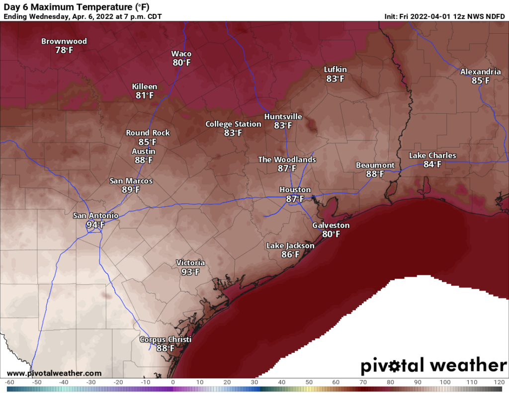
Humidity and warmer temperatures come flooding back in for the mid to late week period. Strong onshore winds may develop Wednesday. We’ll see a return of 80s by day, 60s or warmer by night, and shower chances. These shower chances look minor each day right now, but we’ll get a better handle on which days will carry higher rain risk by Monday or Tuesday.
Meanwhile, have a wonderful holiday weekend!