Good morning. Inland areas are seeing some drier air this morning, but if you’re closer to the coast, sorry, it’s still muggy.
TODAY and THURSDAY
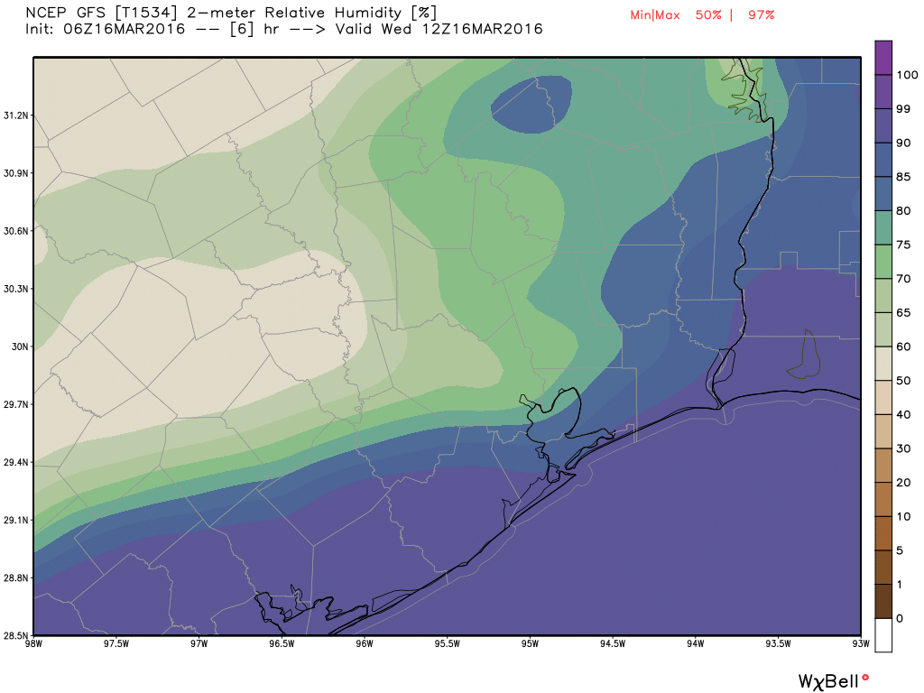
A weak cool front has edged into the Houston area and largely stalled out. If we take a look at the GFS model forecast for relative humidity at 6 a.m. CT today we can get a good sense of where this boundary has gotten hung up.
The stalled front, which will probably move back inland tonight, means we have a couple of more partly sunny, muggy and warm days in the 80s. Lows won’t go below the mid-60s. And with the increasing moisture levels there’s a slight chance for some light rain.
FRIDAY
A stronger cold front will approach the region on Friday, and with all the moisture that’s accumulated in the atmosphere we will see a pretty good chance of rain by Friday afternoon, and especially Friday night. Conditions at this time do not appear to favor any severe weather, but we can probably expect to see some thunderstorms mixed in with showers. The biggest threat will be periods of heavy rain, although I expect most areas will get between 0.5 and 1.5 inches of rain.
SATURDAY
The cold front will move through late Friday night or sometime Saturday morning, and as a result I expect rain for most of the area to end within a few hours of sunrise. Skies may not clear out until the end of the day and then we’ll be considerably cooler, with highs in the 60s, following the front.
SUNDAY and MONDAY
We’ll have a couple of gorgeous days. I’m still expecting highs in the upper 60s to 70 degrees, lots of sunshine and cool mornings around 50 degrees.
Do you think this is our last “cool down” of the season
No, fortunately, we’ll see at least a few more. But I’m not sure how many more times we’re going to get into the 40s.