Friday, 7:30am CT—As widespread recovery efforts continue across the Houston area, we expect Mother Nature to aid the region in its recovery over the next several days. Amidst the terrible storm, one thing we failed to notice that fall is right around the corner. Well, it’s basically here!
Friday and Saturday
Nice, mostly sunny days, with highs of around 90 degrees. The chance of rain is near zero, and nighttimes should continue to be pleasantly cool—lower 70s—for this time of year.
Sunday through Tuesday
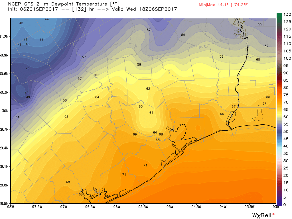
As some moisture returns into Houston from the Gulf of Mexico, we should see an increase in clouds, from a few scattered clouds on Sunday to partly to mostly cloudy skies on Labor Day. This will bring some decent rain chances to the area, especially on Labor Day and Tuesday. But at this time we remain pretty confident that we’ll be measuring accumulations in tenths of an inch rather an inches themselves. Clouds should keep highs in the upper 80s.
Wednesday and beyond
We’re still thinking a cold front is likely to arrive in Houston by Wednesday or Thursday of next week, and oh my, we could see some really nice and dry weather through the end of next weekend. Think: Highs in the lower 80s and lows in the 60s—and perhaps even upper 50s for areas well inland. Something to look forward to.
Tropics
Everyone here is understandably edgy about the tropics, and we get that. We’re closely watching what’s going out there too. But we’ve been telling you not to worry about that tropical blob in the southern Gulf of Mexico (which has since disappeared from the National Hurricane Center’s five-day outlook), and we continue to not be overly concerned about Hurricane Irma (with 115 mph winds, now) and its potential to hit Texas.
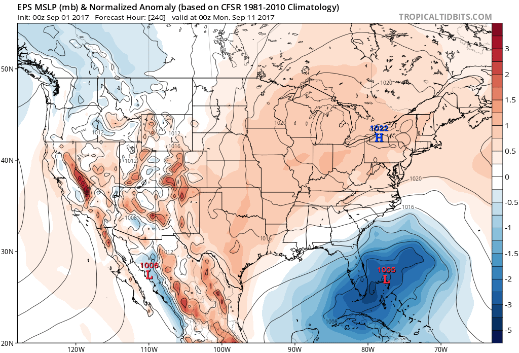
The storm remains more than a week away from reaching near Florida, and were it to (seems quite unlikely at this time) track into the Gulf it is more than 10 days out. Bottom line: Irma will become a potent major hurricane as it crosses the Atlantic, and will produce some major impacts if it strikes Florida or the US East coast. While we cannot rule out a more westward movement into the Gulf of Mexico, it’s not something we expect right now. Our hope is that Irma eventually re-curves before reaching the United States at all, but we just can’t say what will happen for now.
If you live in Houston, I wouldn’t waste much time worrying about a storm thousands of miles away. Focus on the here and now. Your friends, family, and community. Look forward to the first cold front. We sure are.
Posted at 7:30am CT on Sept. 1, 2017 by Eric

You are a Houston treasure sir. Thank you for your positive outlook.
I concur. I’ve watched it unfold from Ireland, with my whole and extended family in Harris and surrounding counties. Thank you, Eric and Matt, for helping me not freak out.
Yes! A “Houston treasure”! For sure!
Not bad for an “amateur meteorologist”. I nearly fell out of my chair when I read these words on a “professional’s” website.
Spacecityweather is my site for serious weather.
The stretch of good weather is welcome news. We could use some for about the next billion years or so.
And folks – don’t forget to volunteer. While many agencies are turning away people as I was, in the weeks and months ahead we will need more as volunteers burn out or pick up other responsibilities in their life.
I found Space City Weather during our encounter with Harvey, and it quickly became a lifeline. Thank you for for clear, concise reporting that is easy to understand without a lot of hype. I’ll be checking my email every day now for weather news I know I can rely on. Bless you!
It’s a shame that it took an Event like Harvey to let me find your site. I’ve noticed that your subscription count has roughly doubled in the last week. You present the best weather explanation I’ve seen. Thanks
Thank you, Eric. As relief efforts and clean up continues around Southeast Texas, this is welcome news.
Thank you so much for the clear, concise, hype-free forecasting throughout Harvey. Eric and Matt, you have been heroes to so many in the Houston area trying to understand the threats of the storm, and to those outside of Houston worried about their families who may have been impacted. Thank you thank you.
I don’t know if you’ve been tracking the storm’s impact east of Houston, but I am surprised that Port Arthur’s flooding hasn’t receded. Is that because there’s too much water flowing downstream to Port Arthur for it to drain properly, or is there some other condition keeping the flooding from receding? Thanks so much for any insights you may have to offer.
Port Arthur’s water pumps went out for a period of time. Also, Toledo Bend Dam has 11 gates open releasing water that is continuing to flood Orange and us due to flood Bridge City. Theyndint tgink that will affect Oirt Arthur, but there are many small towns in east Texas being flooded there by the release of ware just like we have here in Houston from Addicks and Barker.
Thank you. You guys are invaluable. I’m still under mandatory evacuation in Fort Bend. Can you provide an explanation as to how the levees are working to keep is safe, hopefully. Everyone is quite uncertain .
My understanding is that if you haven’t flooded now, you won’t.
Glad to follow your posts and have suggested your site to several friends. Thanks for being such a sound voice of reason during this odyssey! Am definitely focusing on the here and now with family, friends and community.
Thanks for sharing the site! Best compliment anyone can give.
Harvey is causing ripples in North Texas and Arkansas
going into the Labor Day weekend. I’ve seen a 30 cent
bump. Some shortages reported.