In brief: It’s a very cold morning out there across Houston, but temperatures will now be on the upswing, with balmy weather expected this weekend and into early next week. We’ll also see a smattering of rain chances throughout the forecast period, but nothing too crazy. We cool down later next week.
Thursday
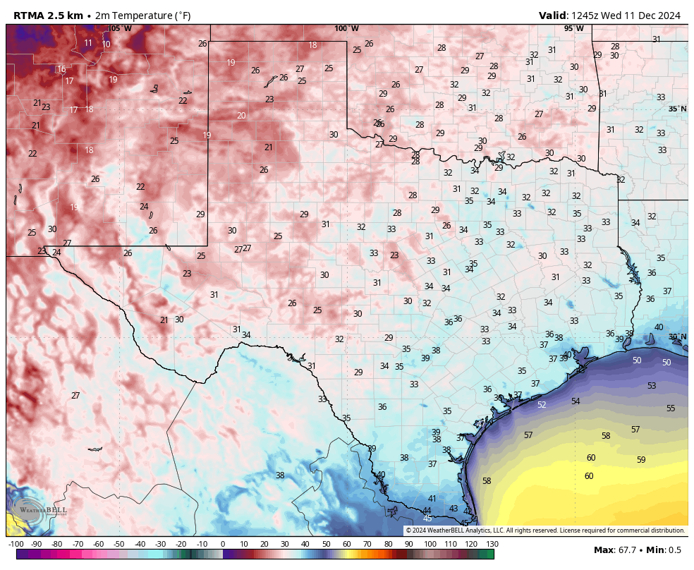
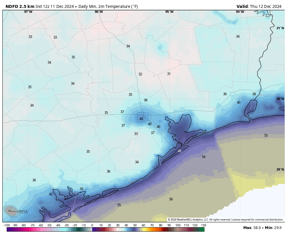
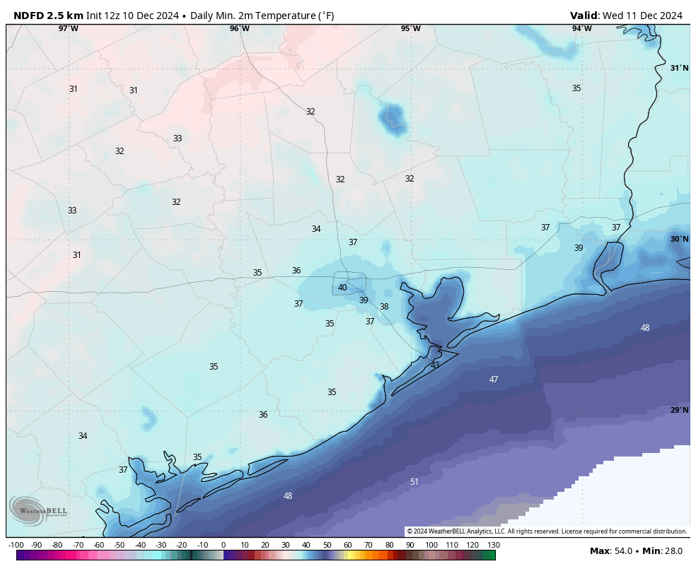
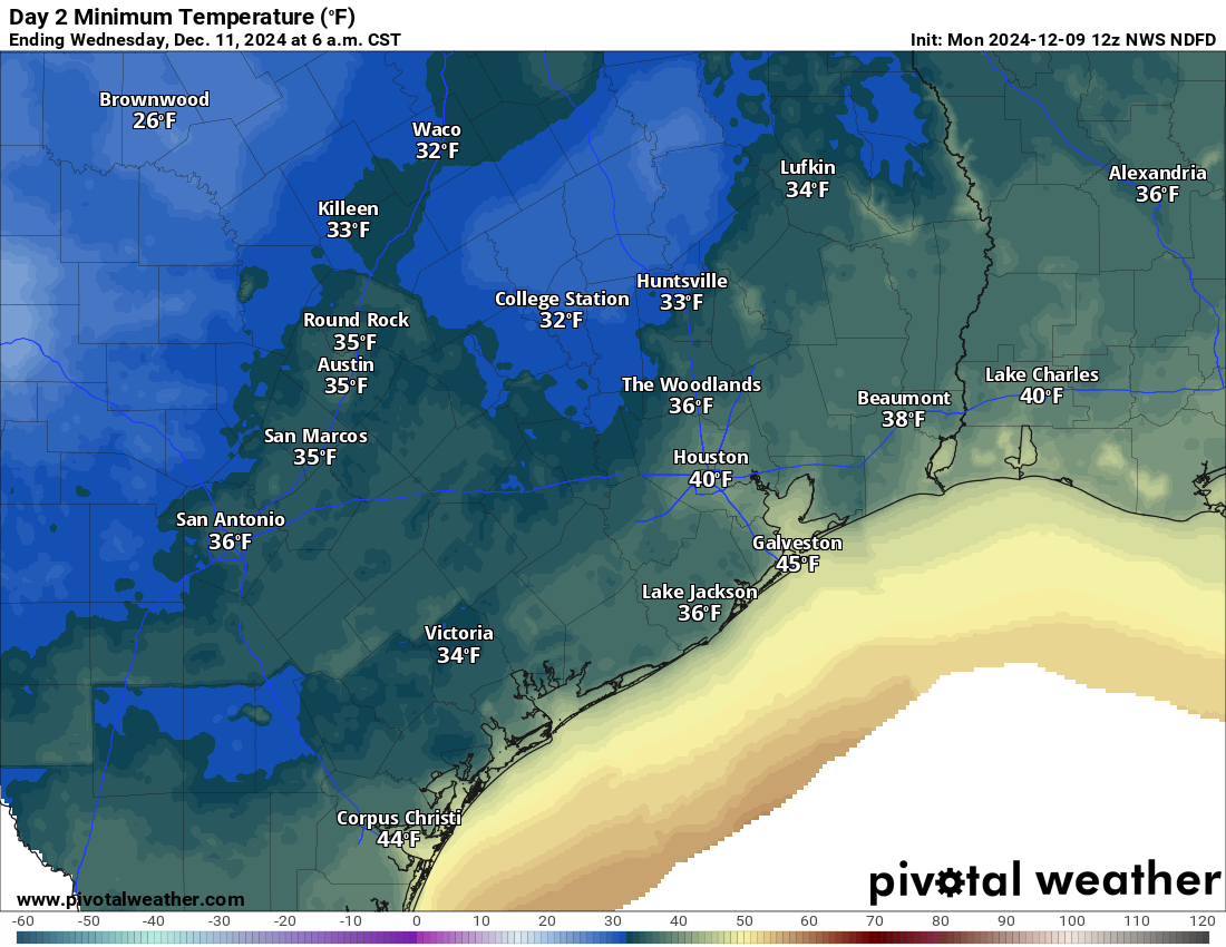
It’s a rather chilly morning, with most of the Houston area in the 30s. A few inland areas, including Conroe and Cleveland, have dropped to 30 degrees or below. However, this is the bottom of the temperature valley for Houston, and we’re now going to ride the rails upward to a plateau of moderate days and mild nights through at least next Monday or Tuesday.
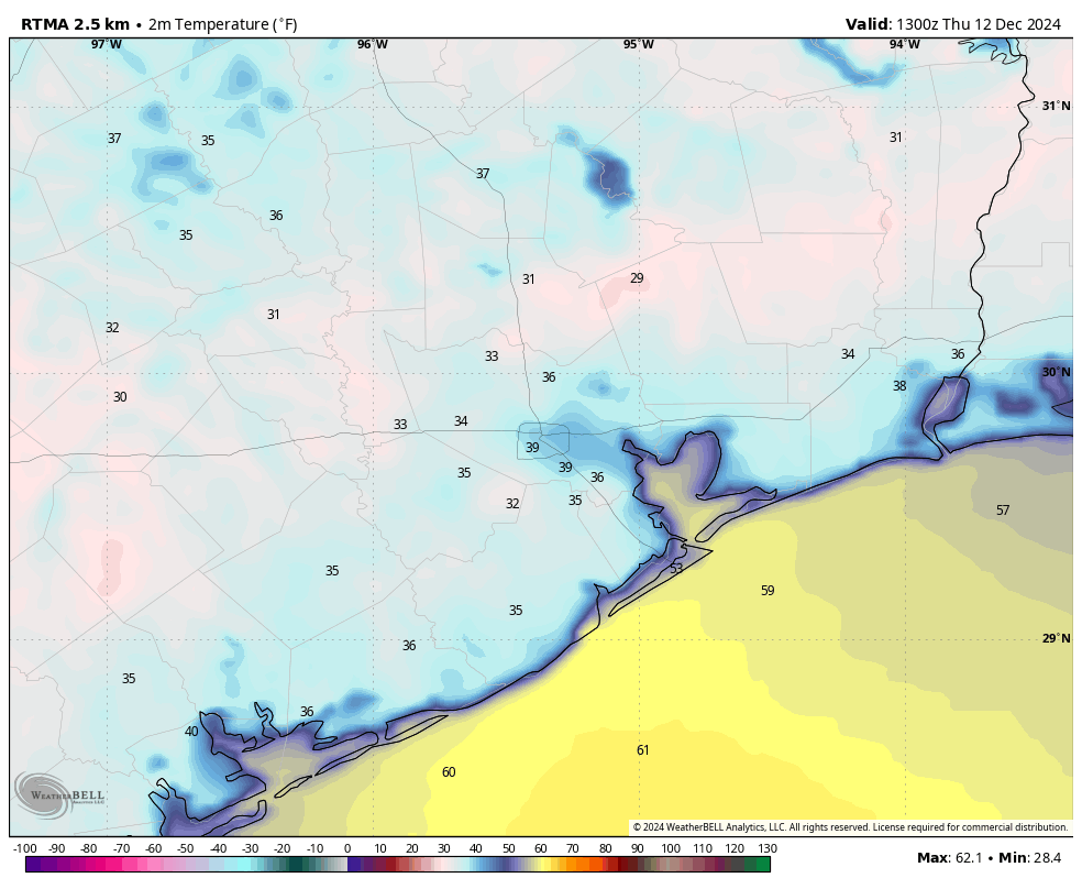
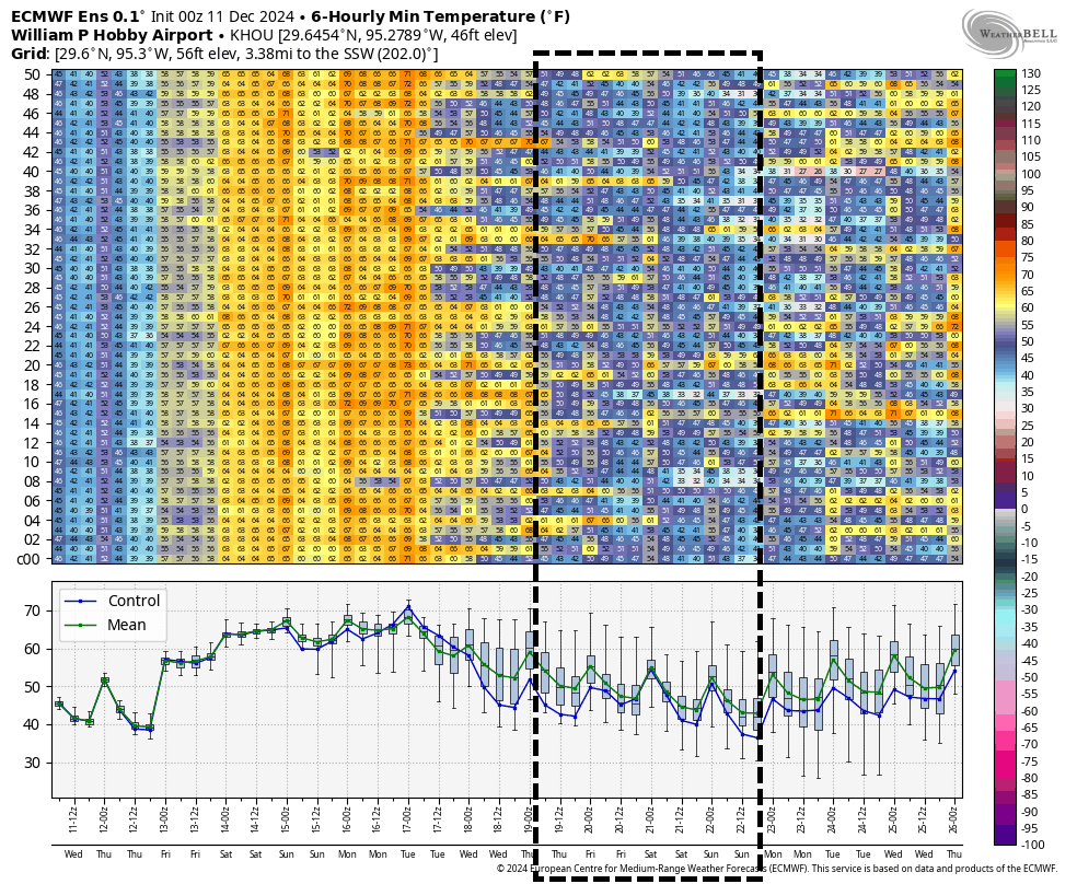
For today, specifically, skies will be mostly sunny with high temperatures in the mid-60s. With southeasterly winds in place, we’ll start to see a more moderate flow, and lows tonight will only drop into the low- to mid-50s for much of the area. By this evening we should see at least some partly cloudy skies as moisture levels increase in the atmosphere overhead.
Friday
Expect mostly cloudy skies on Friday, with high temperatures of around 70 degrees. I can’t entirely rule out a few light showers, but for the most part I don’t expect any rain. Friday night will be warm, with lows only in the lower 60s, and a slight chance of rain.
Saturday
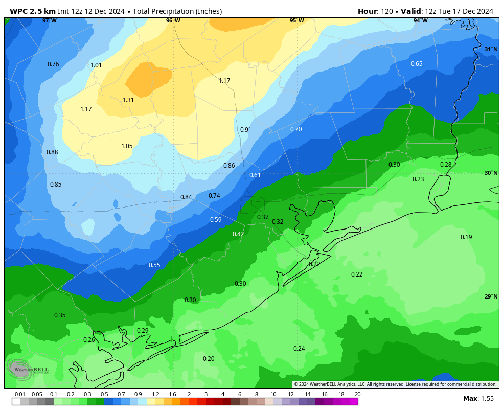
A cold front will drop down into Texas this weekend, but most likely it will stall north of the metro area. This will lead to partly to mostly cloudy skies on Saturday, with perhaps a 50-50 chance of rain. Any showers that do develop will probably be light, so these will be a nuisance rather than seriously disruptive. Expect highs in the mid-70s. Saturday night looks warm and muggy, with lows only in the mid-60s.
Sunday
This will be a partly sunny and warmer day, with highs in the upper-70s. I’m hopeful that we’ll see some partly sunny skies, with only lower-end rain chances. In short, this is probably the better day for outdoor activities.
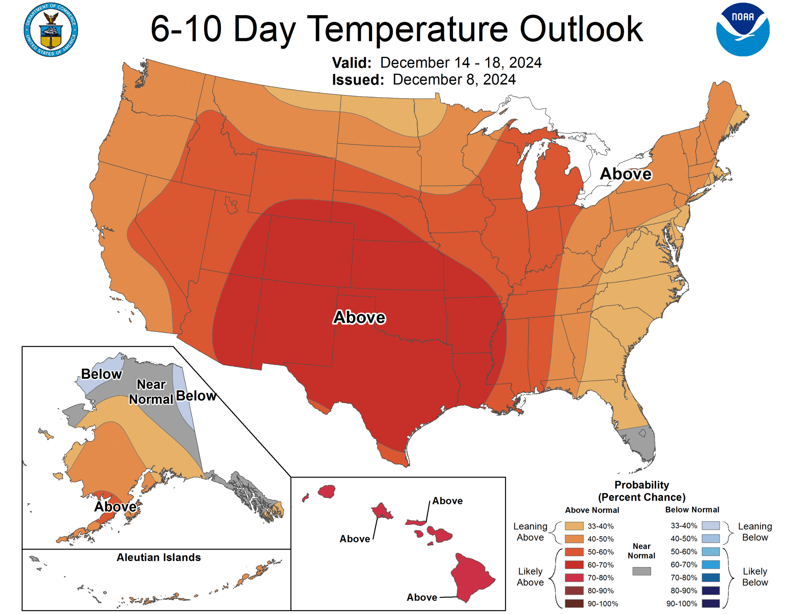
Next week
Monday looks warm and partly sunny, with a decent chance of rain, before a weak front arrives Monday night-ish. Tuesday and Wednesday will probably be a bit cooler before a second, and stronger push of colder air arrives later on Wednesday or early Thursday to bring seasonal weather back into Houston for December, which is to say highs in the 60s and lows near 40 degrees. It may be a little warmer or even colder than this through next weekend. We’ll see. Alas, it’s still too early to have much confidence in a Christmas Day forecast. It’s just too early and the models are bouncing all around.