Summary: Houston faces several warm and humid days before a front arrives this weekend to cool us down for a bit. The front is likely to bring some rain showers with it, which may impact plans you have for Saturday evening.
Tuesday
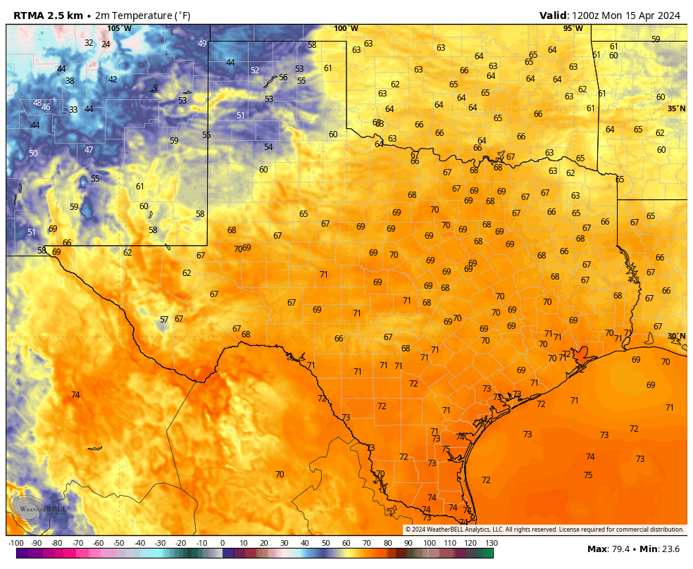
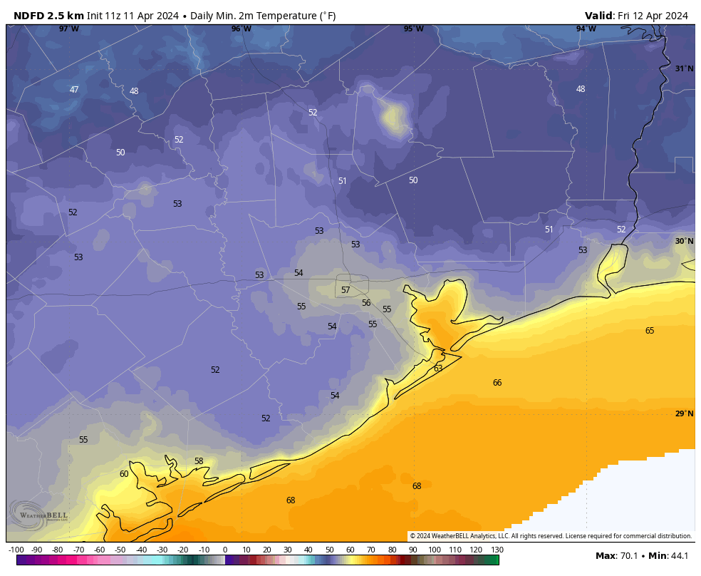
Conditions this morning are warm and overcast in Houston, and that’s more or less what we are going to see the remainder of the week with a persistent southerly flow. Skies will be partly to mostly cloudy later this afternoon, and high temperatures will push into the mid-80s. Winds will be fairly robust from the south, with gusts up to 25 mph in response to a front advancing across the state—a front that will, alas, peter out before it reaches the greater Houston metro area. Lows tonight will drop into the low 70s in Houston.
Wednesday and Thursday
Expect more of the same. We’ll see mostly cloudy skies and highs, generally, in the mid-80s. A few spots could get warmer if we see some strategic breaks in the clouds during the afternoon hours. Winds will be from the south at about 10 mph, with gusts up to 20 mph. Nights remain warm and muggy.
Friday
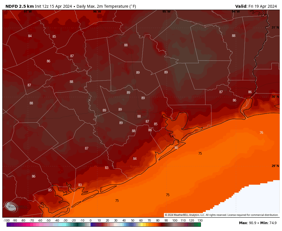
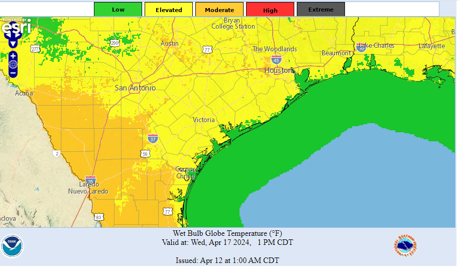
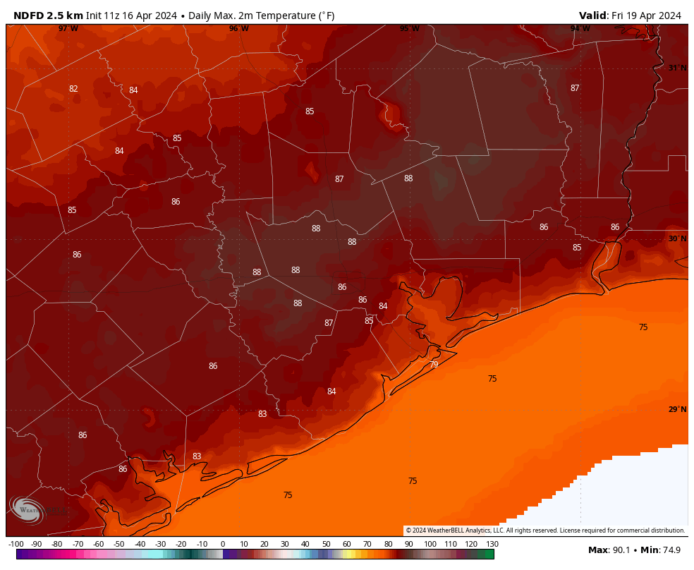
This looks to be the warmest day of the week as skies may be only partly clouded over. This additional sunshine should help nudge daytime temperatures upward, into the upper 80s. A few locations in Houston, particularly to the west of downtown, may hit 90 degrees for the first time this year. With plenty of humidity, this will feel rather warm for mid-April. Overnight lows will continue to run about 10 degrees warmer than normal.
Saturday and Sunday
Saturday should see continued warm and cloudy weather, with highs in the mid-80s and plenty of humidity. However, during the afternoon and evening hours, rain chances will increase, peaking overnight as a front moves into Houston. At this time there is not a strong signal for severe weather to accompany the front, but we’ll continue to watch for this possibility, as spring-time storms are always possible in these kinds of situations.
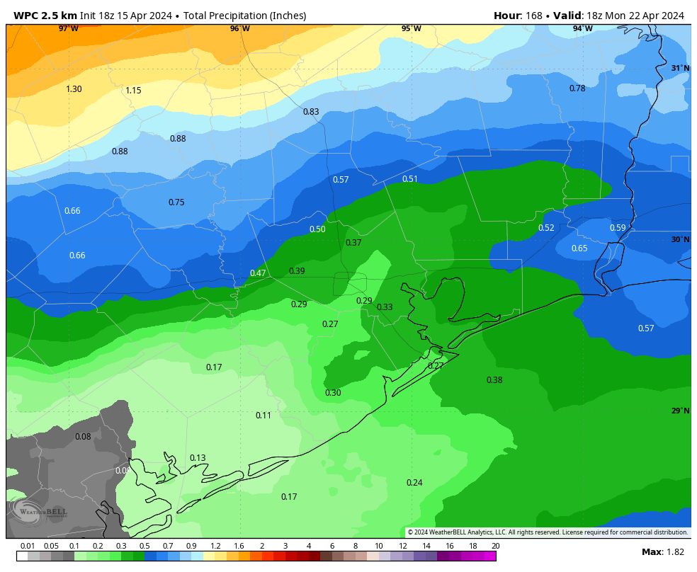
In terms of accumulations, I don’t think the models have a great handle on things yet, but I’d expect most of the area to receive less than 1 inch of rain with the front. Sunday should see partly to mostly cloudy skies with highs in the 70s and lower humidity. Lows on Sunday night should drop into the upper 50s, or thereabouts, with the push of drier air.
Next week
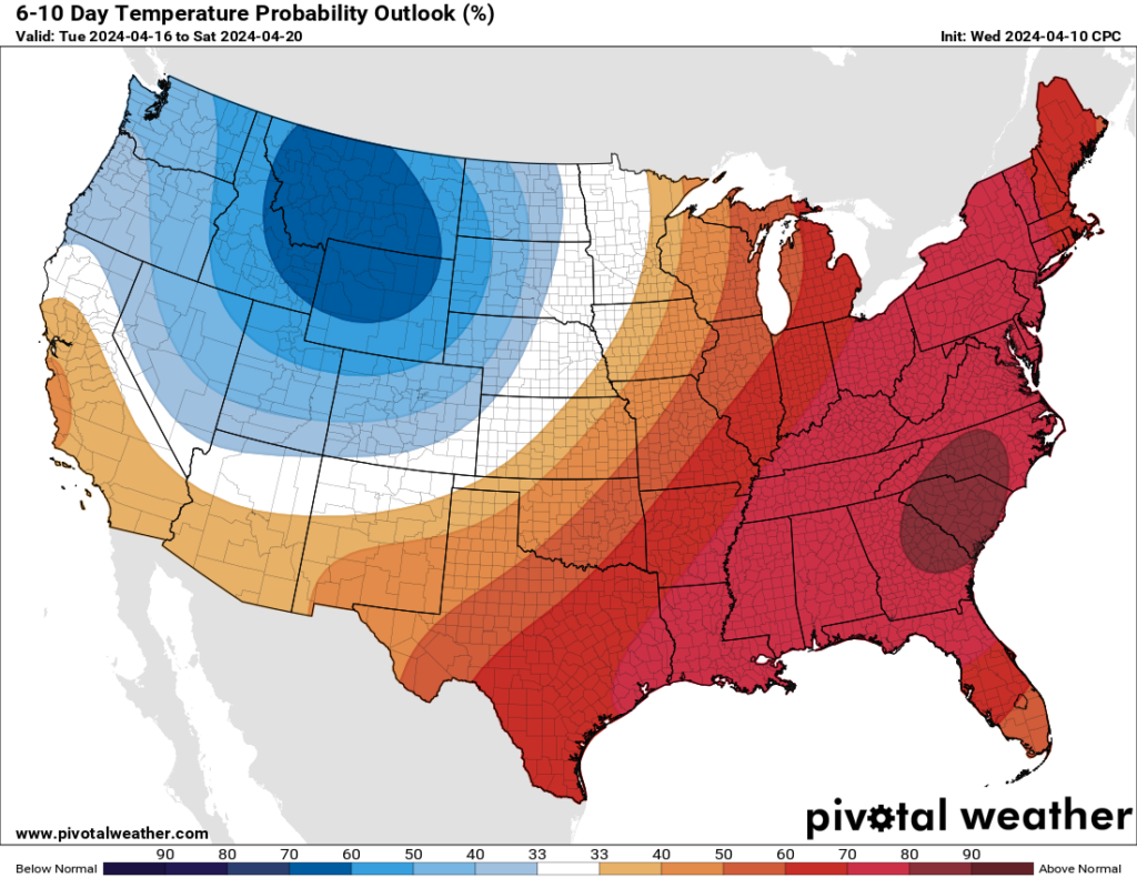
Monday and Tuesday should be days with at least partly sunny skies and some drier air. So expect highs, perhaps, of around 80 degrees. After that a warmer and more humid pattern returns, with temperatures likely to return to the mid-80s or so.