Summary: Houston will see at least some scattered showers today, with the slight potential for some thunderstorms. Tuesday looks warm (almost hot) and sunny, and should be our warmest day of 2024 so far. After that we’ll be warm and mostly cloudy until the weekend, when conditions turn cooler.
Monday
Fog is present along and near the coast this morning as dewpoints and temperatures are the same, in the upper 60s. It will dissipate by mid-morning. High temperatures today will reach about 80 degrees, with persistent cloud cover. The big question for today is rainfall. There should be plenty of moisture available, but overall conditions are not ideal. What you can probably expect is scattered, light showers this morning. This afternoon, with daytime heating, some stronger thunderstorms will be possible, but these should be scattered to isolated. The bottom line is that half the area may see no rain at all, but a few pockets probably could see heavy showers and lightning. Overall, the potential for stronger showers today appears to be slightly higher along and north of Interstate 45.

Rodeo forecast
Temperatures will be plenty mild this evening heading into the rodeo, in the low 70s. The concern, discussed above, is the potential for showers and thunderstorms. Overall the odds are fairly low, probably 20 percent or less, this evening before, during, or after the show. But this is not zero, so please be weather aware. Low temperatures tonight will drop into the mid-60s, so it will be mild after the show.
Tuesday
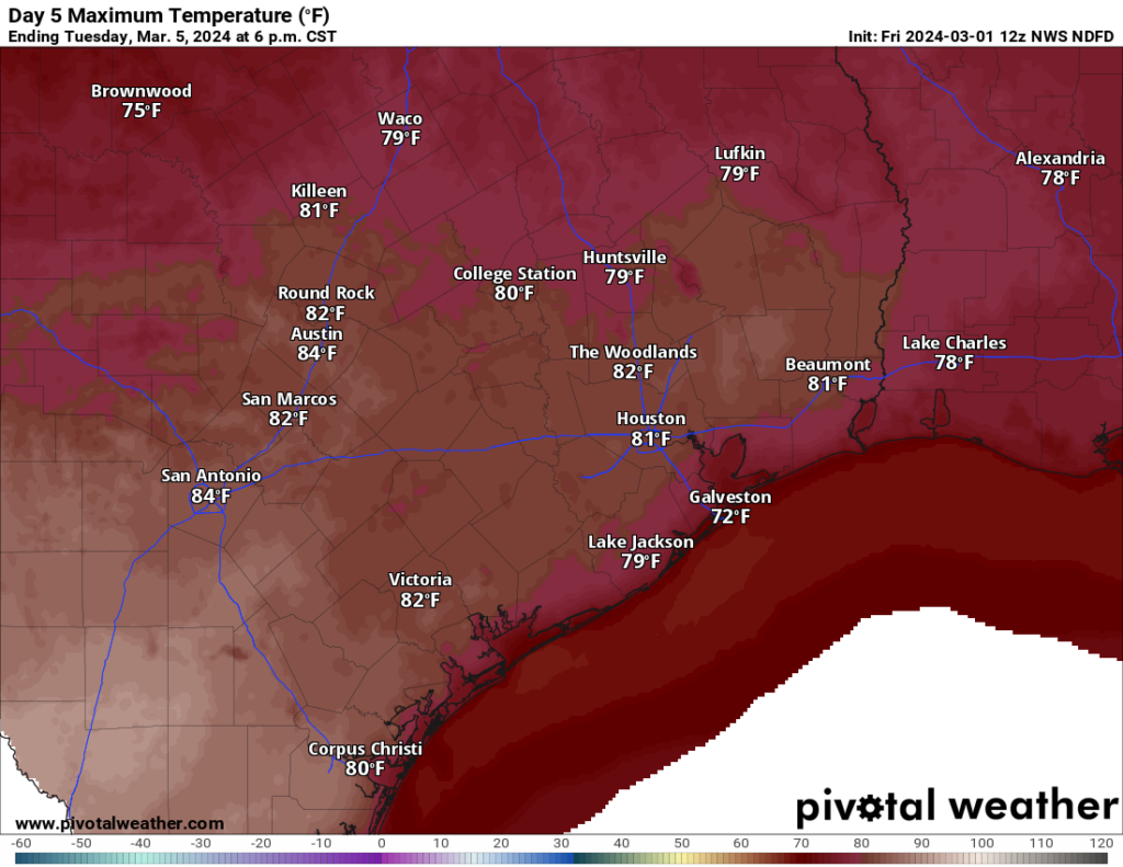
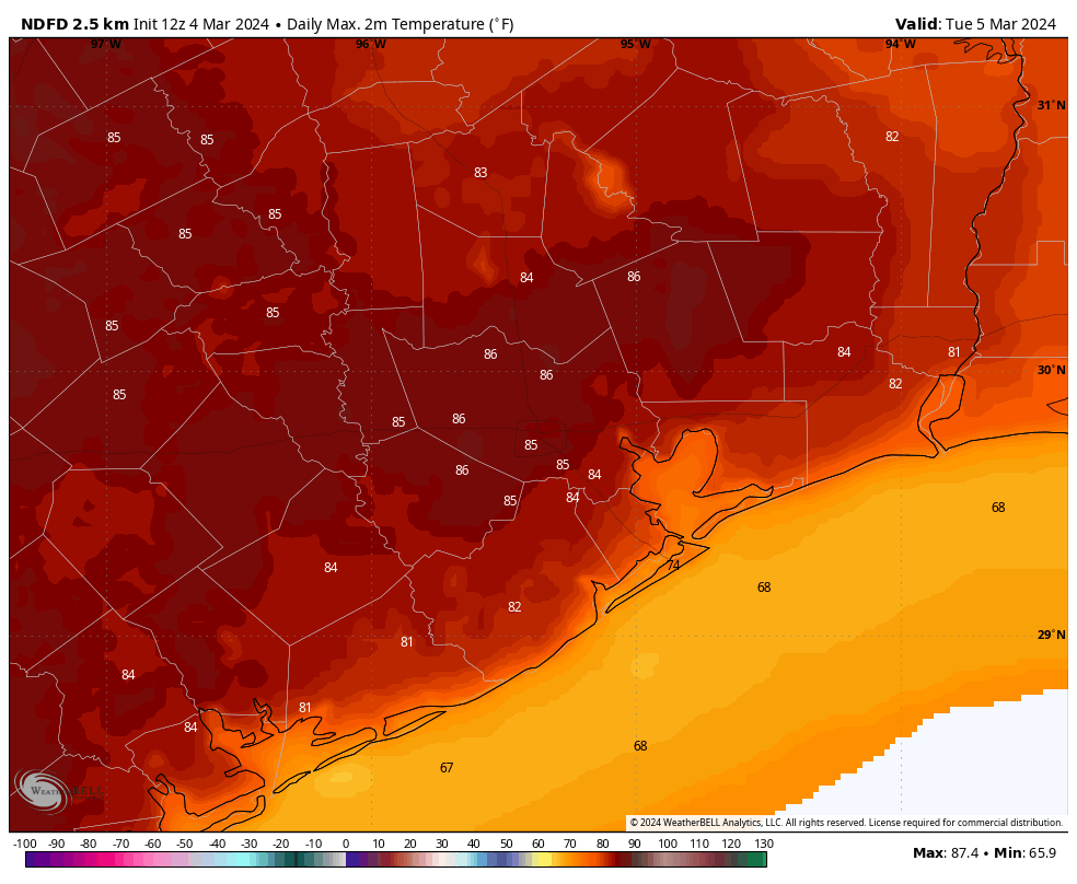
For those who want sunshine and heat, Tuesday is the day. As Matt described last week, we’re going to see a decaying front push into Houston that will bring some slightly drier air (but no cooling). This, combined with mostly sunny skies, will allow high temperatures to pop. Right now the most likely outcome is highs in the mid-80s, but a few locations could push toward 90 degrees. Regardless it’s going to feel very warm for early March. Lows on Tuesday night will drop into the low to mid-60s.
Wednesday
This looks to be a partly sunny day in the low 80s, with another mild night.
Thursday
A few more clouds should help to limit highs to the upper 70s. Some low shower chances return later on Thursday and Thursday night.
Friday
We’ll see another chance of showers on Friday ahead of a cold front. At this point I’m not convinced how widespread precipitation will be, so I’ll say that about half of the region will at least see some light rain. But we’ll see. Look for highs around 80 degrees with drier air arriving sometime during the daytime with the front. Overnight lows drop to around 60 degrees.
Saturday and Sunday
The weekend will be for those who like cooler conditions. Highs both days will likely range from 65 to 70 degrees, with a mix of sunshine and clouds. Rain chances look low to non-existent. Lows temperatures will bottom out at around 50 degrees in Houston, with 40s possible for inland areas.
Next week
We’ll see a warming trend heading into the middle of next week, with highs getting back into the 70s. Some decent rain chances return by around Wednesday or so.