Summary: Temperatures will begin warming up today as we clear out the clouds. Look for a super Saturday and a decent Sunday with temperatures rebounding to near 80° once more. A system Monday brings us our next rain chances before we slowly clear out Tuesday.
Today
It’s a cool start today once again with temperatures in the 40s and 50s across the region.
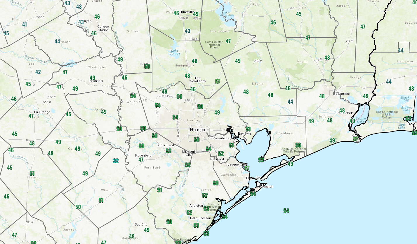
We will probably be socked in with clouds over most of the region this morning. But as a weak system exits, slightly drier air will push in and dissipate much of the cloud cover, setting up what should be a nice afternoon. It feels like it will be tough to squeeze much more moisture out of that system as it exits today, so other than a few isolated morning showers, especially on the coast or around Matagorda Bay, that should be that. With some added sunshine and slightly warmer air in place, we’ll likely rebound to 70 degrees or better this afternoon. That’s close to what is typical for this time of year.

Rodeo Forecast
As far as this forecaster is concerned, tonight is worth much more than half a buck. Look for temperatures dropping through the 60s with light winds and generally clear or partly cloudy skies. No need for 21 questions about the weather, as there will be no rain and nothing to worry about in da club afterwards.
We’ll open the evening around 70 degrees and close in the low-60s.
Weekend
Saturday looks great. Highs will be near 80 degrees, with humidity remaining at a fairly tolerable level. Sunshine and just a few clouds are expected, though the morning could stay gray in some spots, especially close to the coast or Galveston Bay.
Sunday may see additional morning low clouds or fog, giving way to a mix of clouds and sun. Highs will again be near 80 degrees. I wouldn’t entirely rule out a few raindrops Sunday afternoon, but it should not wreck your day.
Monday
A storm over the southern Plains will drag a “kinda sorta” front toward Houston on Monday. It honestly may just fall apart before it actually gets here. What it will do, regardless, is deliver an increasing chance of scattered showers and thunderstorms. I would not call Monday a washout, but it looks like our best rain chance in a minute. Temperatures will start the day in the 60s and warm to near 80 once more, even with rain chances.
Moisture levels in the atmosphere look pretty beefy on Monday, so a few folks may see heavier downpours. But this rain looks very manageable, if not welcome.
Tuesday
Arguably, Tuesday is the most interesting forecast day. Behind Monday’s decaying front, we may get just enough lowering of humidity to allow for temperatures to have a little more runway to work with Tuesday. Drier air heats up more efficiently than humid air, and that drop in humidity between Monday and Tuesday will boost temps some. The question of how warm comes down to whether or not we see clouds and lingering showers Tuesday. If that happens, we’ll probably take a run toward 80 or so once again with morning lows in the 60s.
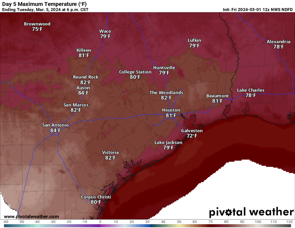
However, with enough sunshine, we could push rather decently into the 80s. In fact, I looked “under the hood” at the National Blend of Models, and it even has a 10 percent chance of high temperatures exceeding 90 degrees on Tuesday. I surely would not forecast that, but it gives you an idea that the atmosphere is ready to go warm. Will we get the sunshine to do it? I’m not sure. But expect at least 80 on Tuesday, with risk for hotter.
Rest of next week
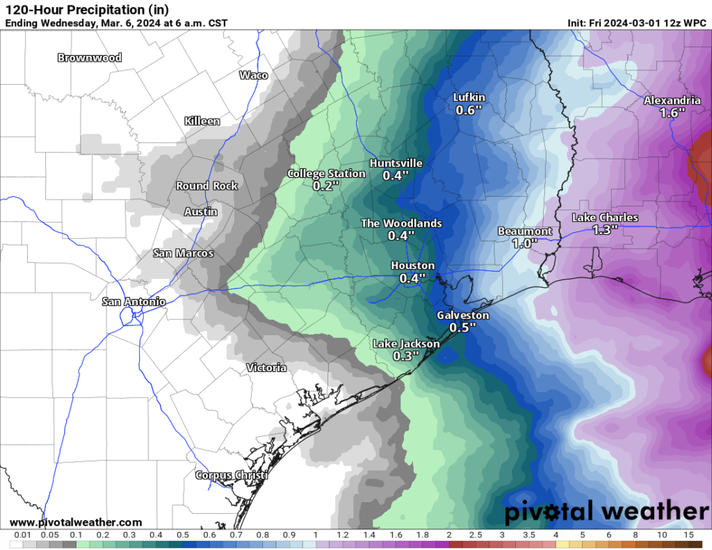
Beyond Tuesday, the week looks a little cooler, with highs in the 70s most days, perhaps near 80 at times. Morning lows will be in the lower half of the 60s. A few passing showers can’t be ruled out between Wednesday and Saturday. A more robust cold front may approach the region around next weekend, which could allow for a sharper drop in temperatures, not as cold as it was yesterday and this morning but notably cooler. We’ll keep an eye on that.

YAAAAAAAAY 🥳🎉😆🥰 I have two ORINOCOS that would like to go outside
Matt showing his street cred with the Fitty references.
Any thoughts on the long-term rain forecast? It’s been at least a couple of weeks since we got a good soaking, and very little appears on the horizon apart from Monday. I’m starting to get flashbacks of last summer.
Matt
With the front having passed on Monday and your thinking Tuesday “might” get close to 90, why is it Wednesday and Thursday may not even get out of the 70s?
“No need for 21 questions about the weather, as there will be no rain and nothing to worry about in da club afterwards” 😂👍🏾
Bye-bye nice, cold weather. Hello ugly 90s.