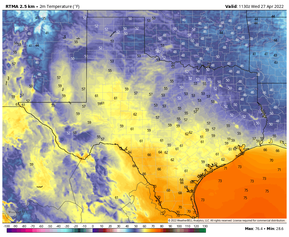
Good morning. After our spectacular weather on Wednesday, the story of the next several days will be that of warming weather to the point where it almost feels like summer in Houston, but not quite. I expect we’ll see several days of low 90s next week.
Thursday
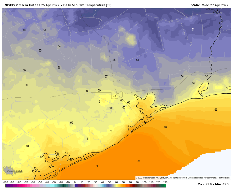
Today will bring something of a transition day, as southerly winds start to pick up to around 10 to 15 mph. This increase in atmospheric moisture will help generate a few clouds and nudge high temperatures into the low- to mid-80s. We’ll also see dewpoints rise into the mid-60s, which will start to bring more humidity in, but won’t feel oppressively so. Overnight low temperatures on Thursday likely won’t drop much below 70 degrees for most of the area.
Friday
By Friday we’ll be well into the upper 80s, with southerly winds gusting to about 20 mph, and a mixture of sunshine and clouds. Lows Friday night probably will drop to only about 70 degrees.
Saturday
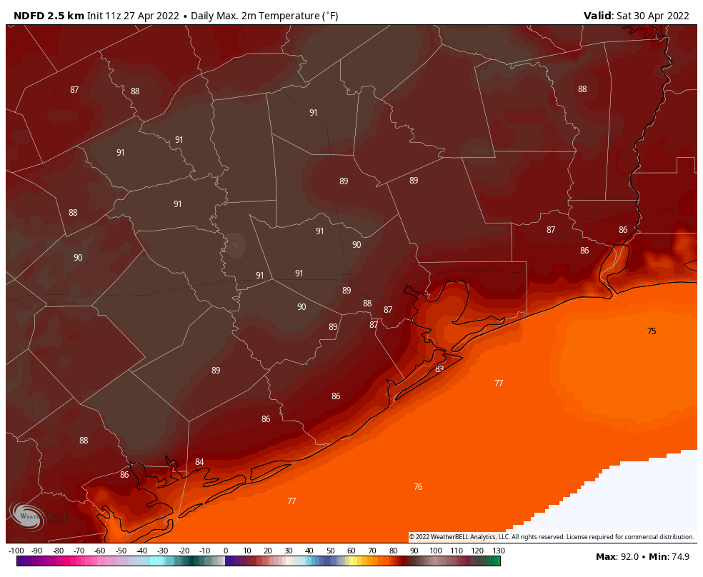
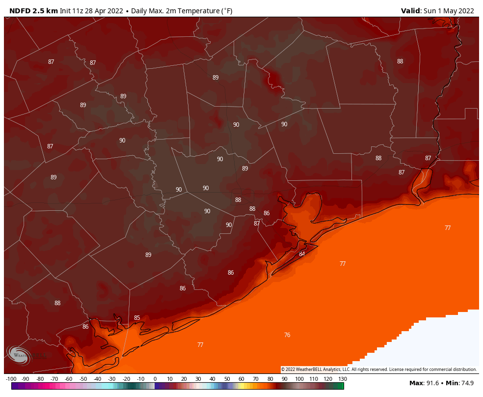
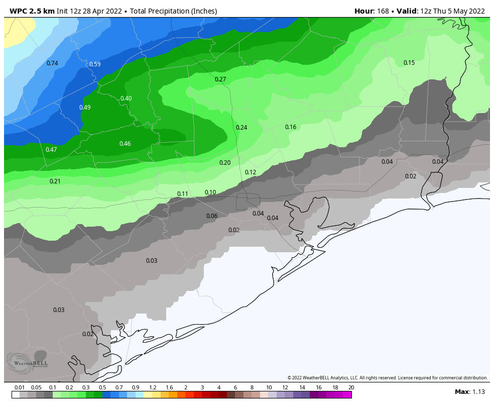
The first half of the weekend will see a cold front push into Texas, but probably not into the Houston metro area. In response to the approaching front our winds from the south may veer a bit more southwesterly, and this is likely to boost temperatures. I expect much of the region away from the coast to reach 90 degrees. For areas north of Interstate 10 there is perhaps a 10 or 15 percent chance of rain later on Saturday or Saturday night.
Sunday
Sunday should bring more of the same, with partly sunny skies and highs near or at 90 degrees. There will again be a slight chance of rain but the vast majority of us will remain dry. Southerly winds, at times gusting to 15 or 20 mph, should be a constant companion. With dewpoints rising into the low 70s, expect it to feel sticky outside for sure.
Next week
High pressure will begin building over the weekend, and we’ll feel its effects at least through the middle of next week and possibly beyond. This will manifest itself in highs near 90 degrees, or just above, with partly sunny days and warm, humid nights. When might this change? Maybe next weekend, around Friday or Saturday, or thereafter, some kind of weak front might make it through. No promises whatsoever, I’m afraid. Fall, winter, and spring have had a good run … but now we’ve got to face up to about five months of summer.