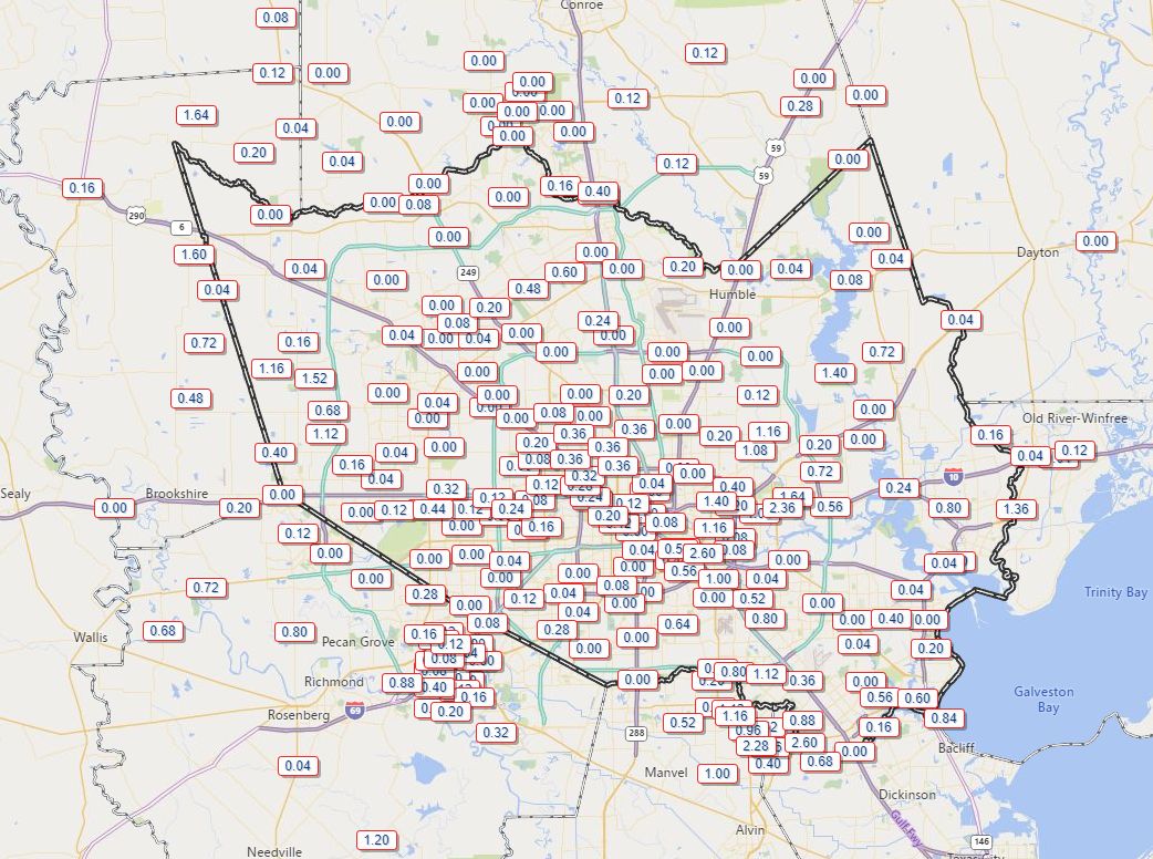
Rain showers over the last week have been completely hit or miss, with some areas such as Pearland or Baytown receiving 1.5 to 3 inches of rainfall, and many other areas including The Woodlands and West University Place getting none. As a result, some readers may think the last seven days have been quite wet, while others have watched the storm clouds form, only to hear distant thunder but see no measurable rain. What I’m confident of now is that virtually no one will see rain for the next week as high pressure settles in.
Wednesday
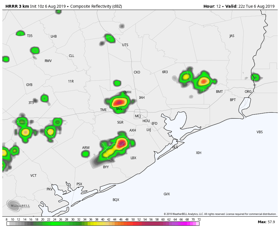
Today will still see a slight chance—maybe 10 percent?—of isolated showers along the sea breeze before high pressure truly clamps down on our weather. Highs likely will be otherwise in the mid- to upper-90s with mostly sunny skies and light southerly winds at 5 to 10 mph.
Thursday through Tuesday
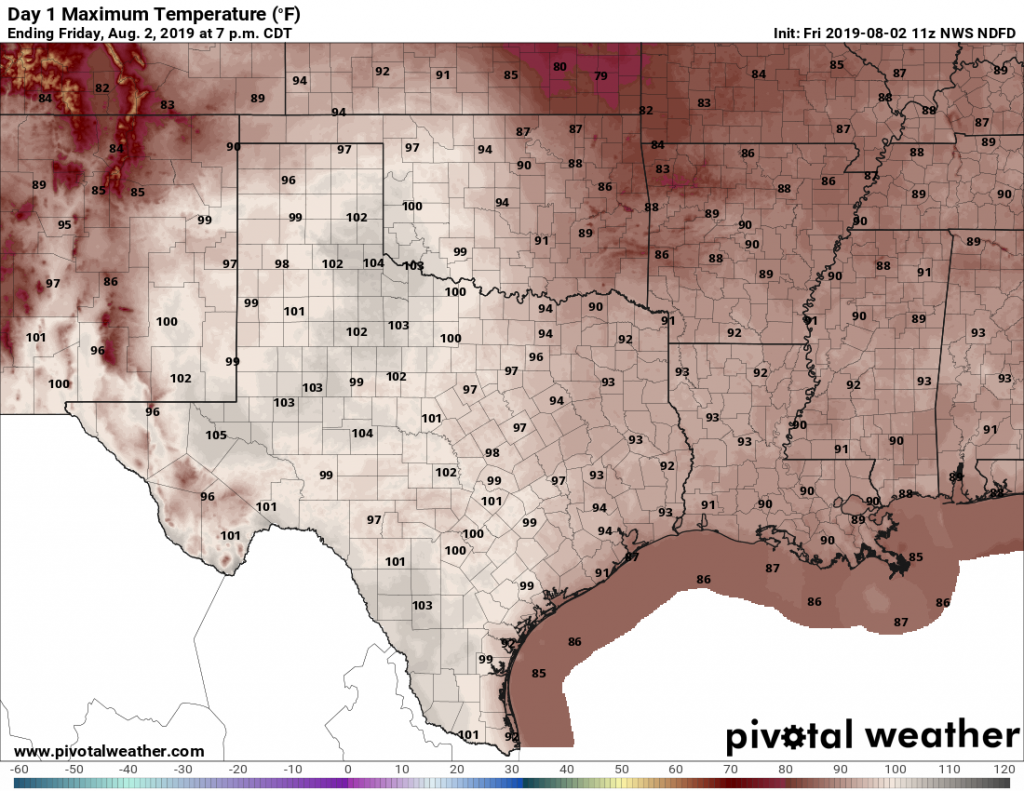
There simply isn’t much to say about Texas weather in the summer, beneath high pressure. We will see highs in the upper-90s to 100 degrees. Skies will be sunny. Overnight lows will be in the upper 70s to low 80s. They say it’s not the heat, it’s the humidity? Well, my friends, in Houston we’re blessed with both.
Later next week
Forecast models indicate the pattern will finally break by the middle or end of next week, as high pressure weakens and perhaps a more northeasterly flow sets up across the region. This should bring high temperatures back down a bit, and nudge rain chances up somewhat. After a week in the fryer, we’ll be ready for any modicum of relief.