A strong cold front pushed through Houston shortly after midnight, and now temperatures have fallen into the upper 30s and lower 40s across the metro area. We’ll now return to a period of mostly colder weather for the rest of January, and early February, with additional cold fronts on the horizon.
Wednesday
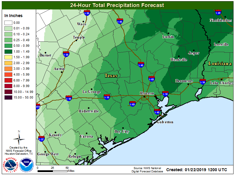
While rain showers have not ended this morning, the activity is beginning to wind down as drier air moves in from the west. Overnight totals for most of Houston measured between 0.5 and 1.0 inch of rainfall, but some areas near Magnolia got 2.0 inches or more. This wasn’t enough to cause any major flooding problems, but it certainly made for a wet night. A wintry mix is now falling in a few areas near College Station and Brenham, but it is unlikely to get cold enough in Houston for sleet or snow before the precipitation ends this morning. That should occur between about 9am and noon, as the last rains move east.
Even with clearing skies, however, temperatures today will struggle to reach into the upper 40s, and with a northerly wind gusting up to 20mph this will certainly be a chilly day across the region. Under clear skies, lows tonight will likely stay at or just above freezing for most of the Houston metro area.