Wednesday, 7:50am CT—It is an absolutely amazing morning in Houston—humidity is low for August, temperatures are in the low 70s, and the sun can be seen as it rises above the eastern horizon. The only trace of our recently departed Hurricane Harvey is some northwesterly winds gusting into the mid-20s. But even those should die down today.
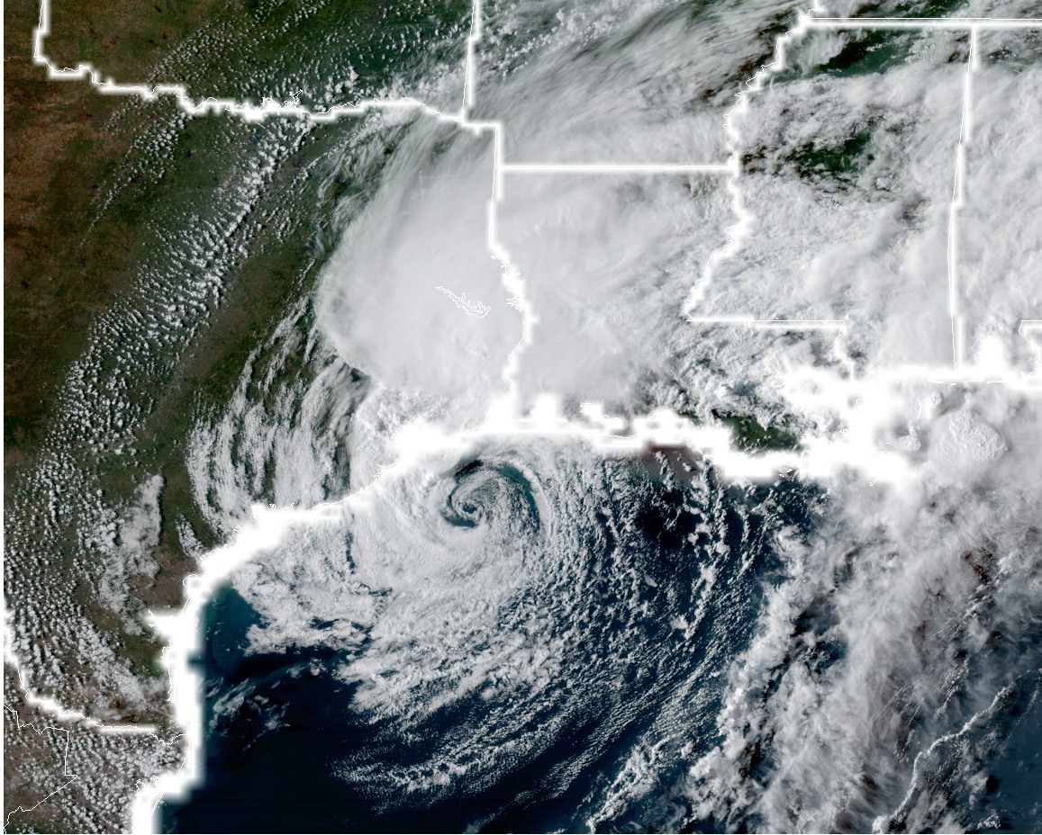
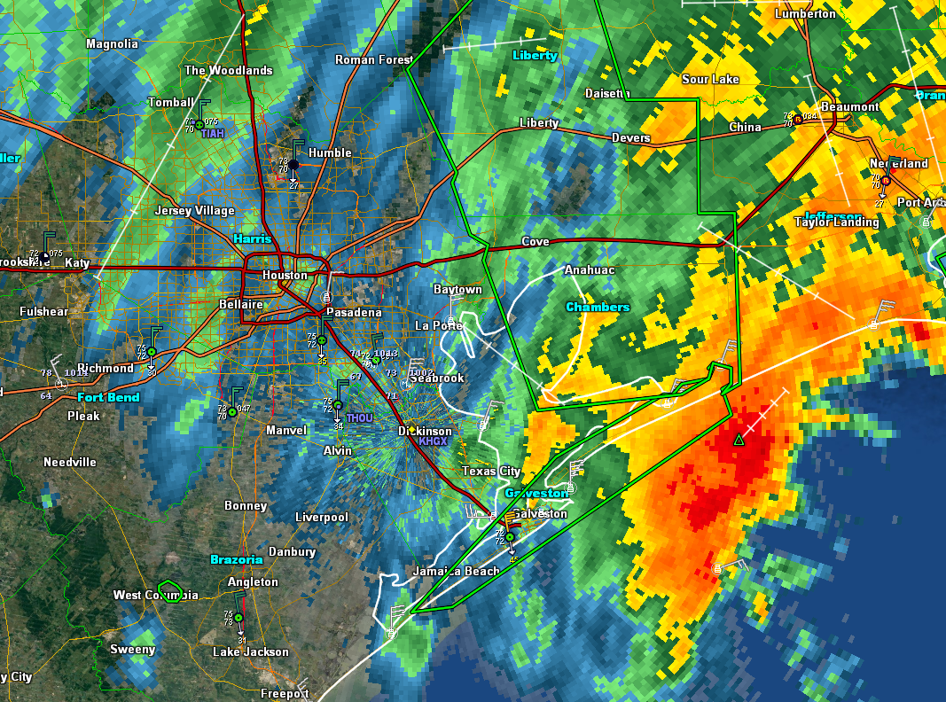
Speaking of Harvey, the storm has made its final landfall this morning, and is now located near Lake Charles, La. The storm continues to lash the Beaumont and Port Arthur area with rains (because clearly Harvey has a seething hatred for all things Texas), and they are seeing similar conditions as Houston earlier this week. Those areas should begin clearing later today too as Harvey moves steadily northeast. Let’s discuss the forecast, and also address the concerns some of you have about tropical weather next week.
Today
Skies will be partly sunny, and we expect high temperatures to rise into the upper 80s. Rain chances should be near zero. Brisk northwesterly winds will help drain bayous, too.
The National Weather Service this morning urged people not to “sightsee” in damaged areas as the weather improves, and I would echo these sentiments. There are still dangers in some areas—and let’s be honest, if your home was destroyed would you want gawkers coming by to survey the damage? Heck no. Respect your fellow citizens, and the first responders taking the first steps to getting our city on the road to recovery.