After a cool start this morning, the Houston region will go right back into the late-summer-like weather we experienced for most of September and the first 10 days of October. However, we’re not going to have to wait as long for relief this time, with a second, stronger cold front arriving early next week. The coming front, in our view, signals the start of “fall” in Houston, so much so that we’re declaring Monday to be a new holiday—”Fall Day.”
Thursday, Friday, and Saturday
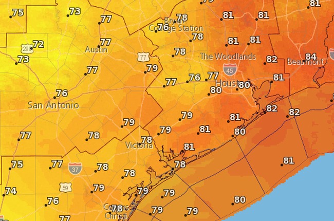
Southeasterly winds return, and as the Sun comes up on Thursday, so too will temperatures. Look for highs during the next few days to reach around 90 degrees. Rain chances will be near zero on Thursday and Friday, but some slight chances return on Saturday afternoon and evening. We don’t think most of you will see rain.
Sunday
Sunday should still be pretty warm, but our next cool front will march through the region during the midday, afternoon, or evening hours. I don’t think the cool air will be particularly noticeable with the sunny skies during the daytime, but drier air should work its way into the region during the overnight hours.

As for rain, we might see some scattered showers as the front works through, and in its aftermath, but again they don’t appear to be anything to write home about.