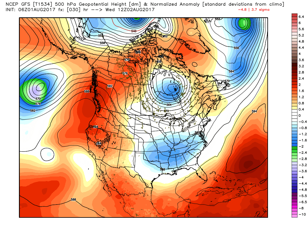
July was a fairly wet month for the region—most of the area saw about 100 to 200 percent of normal rainfall levels—and August looks to start out the same. This is the time of year when we worry most about drought in southeast Texas, but happily that seems unlikely to be a problem this year. Here’s a look at our wet week ahead.
Wednesday
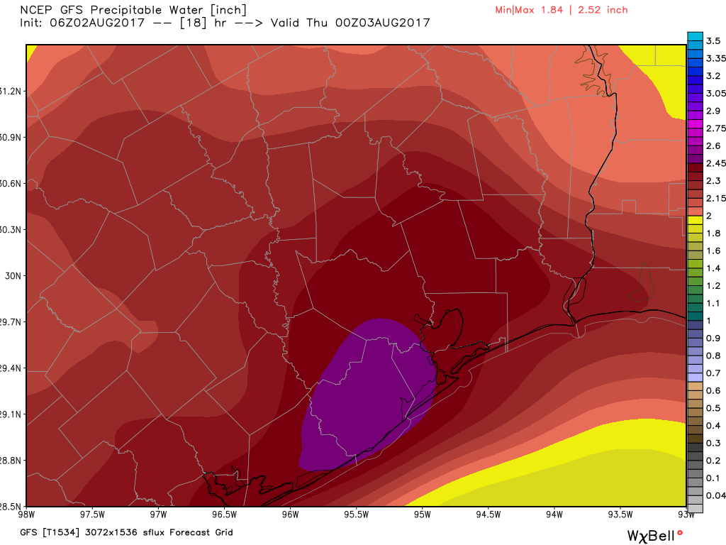
Atmospheric moisture levels have surged across the area, and we should see the development of widespread showers and thunderstorms later this morning, and they should continue on and off throughout the afternoon and evening hours. While much of the area should see 0.5 to 2 inches of rain, and isolated areas could see a bit more, I don’t think there will be enough precipitation to cause more than street flooding. Highs should remain in the upper 80s due to clouds and rain.
Thursday, Friday, and Saturday
More atmospheric disturbances should move in from the northwest to end the work week, and with atmospheric moisture remaining high we can expect to remain in a gray, wet pattern. I don’t anticipate showers will be quite so widespread as on Wednesday, however. Look for highs of around 90 degrees. If you’re planning outdoor activities on Saturday, it won’t be a total washout, but you’re definitely going to have to keep an eye out for scattered showers.