Light rain possible today, heavier rain Friday night before a cooldown this weekend

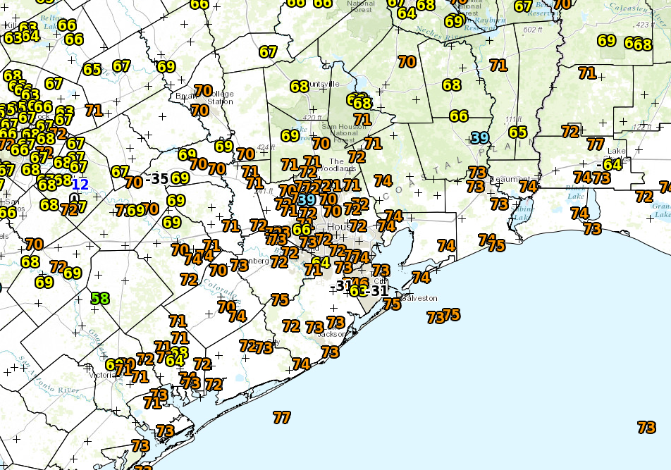
It’s very humid this morning with relative humidity above 90 percent in may areas. It seems too early for low temperatures to only fall into the upper 60s, but such is life I suppose.

TODAY

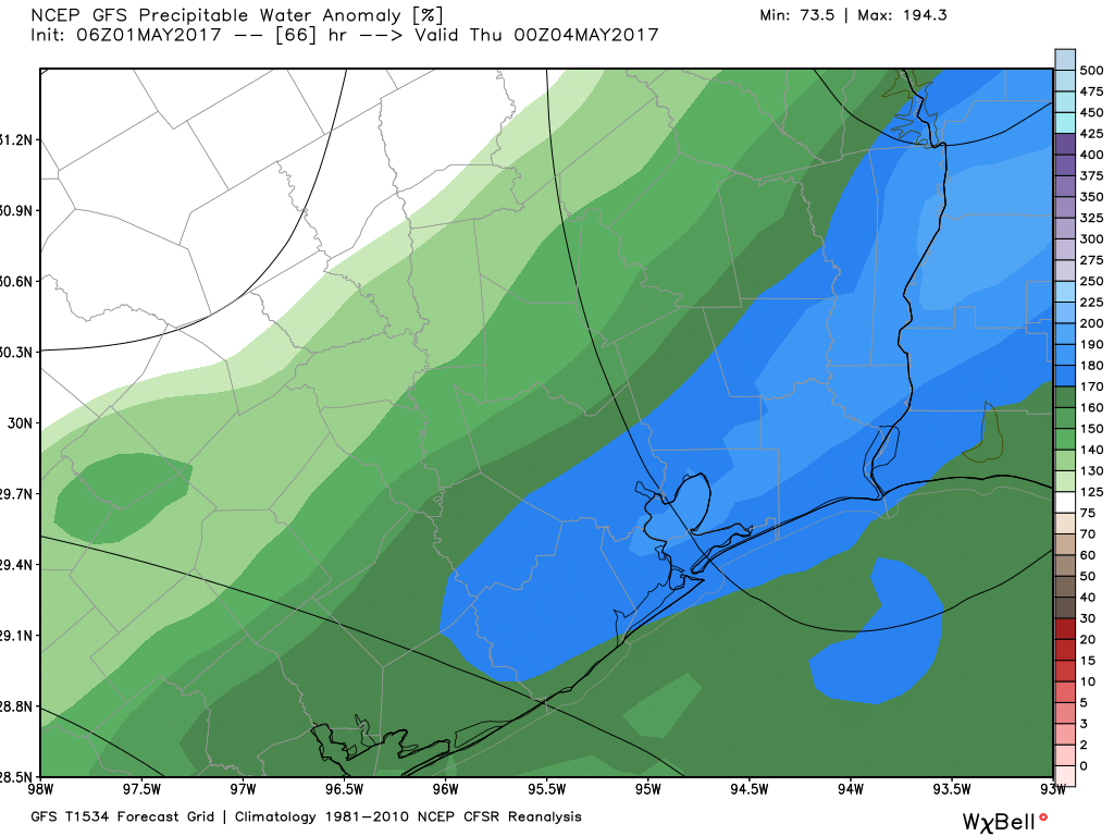
We’re going to remain in this stagnant, humid pattern today and Friday, but with the added possibility of rain showers. There’s a lot of moisture in the atmosphere right now, but it’s going to be difficult to time when the rain occurs. My best guess is that we will see some scattered light to moderate rain later this afternoon and evening across the Houston area that coincides with daytime heating. Temperatures will climb to about 80 degrees.

FRIDAY

There’s a better chance of rain on Friday, especially later in the day. High resolution forecast models show a break in shower activity during the morning hours, but with all the moisture in the atmosphere that’s hard to say for sure. What does seem likely is that heavier rain showers are unlikely to develop before Friday evening, and then may occur during the overnight hours. I do not anticipate more than 1 inch for most areas locally, but some isolated areas could see 2 to 3 inches.

See full post

This Texas winter was atypical for an El Niño year

What was that?

One might very well be asking that question about the winter we just experienced in Houston, when we had precisely two official freezes as the mercury dropped to 32 degrees on Jan. 11th and the 28th. And this was supposed to be a colder winter. During an El Niño winter, and this was an especially strong El Niño, typically the greater Houston region sees slightly cooler and somewhat more wetter conditions than normal.

TEMPERATURE

The most noticeable thing about this winter has definitely been the temperature. We just haven’t had that many cold nights. And it’s not that we’ve seen exceptionally warm temperatures (for example, none of the months from November through February ranked among the top 10 warmest in Houston), we’ve just been consistently warmer than normal.

The effect of this has been that Houston and Texas, like much of the rest of the United States, has been quite a bit warmer than normal. Overall, Texas had its 114th warmest December-February period out of 121 years, according to NOAA data.

Statewide average temperature ranking for the period of Dec. 2015-Feb. 2016. (NOAA)

See full post

Heavy rain possible Friday night before a much cooler weekend

Good morning. Inland areas are seeing some drier air this morning, but if you’re closer to the coast, sorry, it’s still muggy.

TODAY and THURSDAY

A weak cool front has edged into the Houston area and largely stalled out. If we take a look at the GFS model forecast for relative humidity at 6 a.m. CT today we can get a good sense of where this boundary has gotten hung up.

Relative humidity as of 6 a.m. CT Wednesday in Houston. (Weather Bell)


The stalled front, which will probably move back inland tonight, means we have a couple of more partly sunny, muggy and warm days in the 80s. Lows won’t go below the mid-60s. And with the increasing moisture levels there’s a slight chance for some light rain.

See full post

Rains possible Friday and Saturday before a splendid start to next week

Monday was a warm one. Houston’s official weather station, at Bush Intercontinental Airport, came within 1 degree of tying its all time record by reaching 87 degrees. Hobby Airport hits 88 degrees, and broke its all-time record. Hope you stayed cool.

TODAY

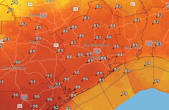
We’ll be a little cooler today because the humidity is coming up some, so highs probably will only reach the middle 80s under partly sunny skies. It will still be warm for mid-March, and we won’t cool down that much as we drop into the mid-60s tonight.

WEDNESDAY and THURSDAY

A weak cool front will approach the area tonight but likely not push all the way through. This will keep temperatures on Wednesday and Thursday to around 80 degrees, and allow for the slight possibility of showers and thunderstorms. Lows will still be pretty warm, in the low 60s.

FRIDAY and SATURDAY

There’s a stronger cold front coming to Houston but it’s not clear when it will arrive. This system will bring a good chance of rain to the region, but when the rain comes is dependent upon the timing of that front. So we could see some widespread showers beginning Friday during the day, or perhaps not well into the night. All the same, accumulations should not be more than 0.5 to 1 inch.

NOAA rain accumulation forecast for now through Saturday. (Weather Bell)


At some point Saturday, during the morning or afternoon depending on the timing of the front,  we’ll begin to see some clearing as the front moves off the coast. Morning lows should be around 50 degrees and highs near 70.

SUNDAY and MONDAY

The beginning of next week looks great, with a couple of sunny, 70-degree days. Something to look forward to!