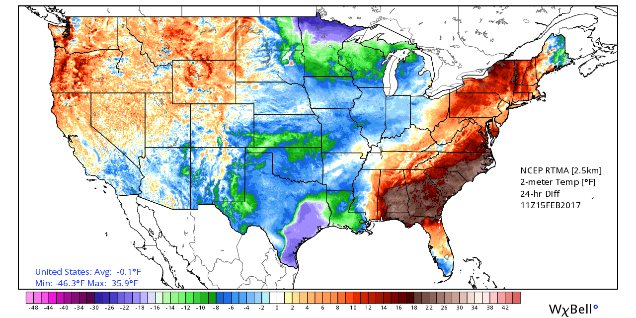
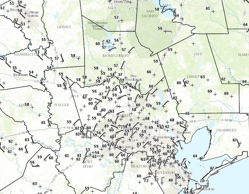
Good morning. Houston is enjoying its coolest morning since late January, with lows in the low- to mid-40s across the region, but warmer air is on the way. And then, on Monday, heavy rain is possible.
Today
This morning’s northerly winds will swing back around to come out of the south later today, but the region should still see partly to mostly sunny skies, with highs of around 70 degrees. Lows tonight will be about 10 degrees warmer than those on Thursday morning.
Friday
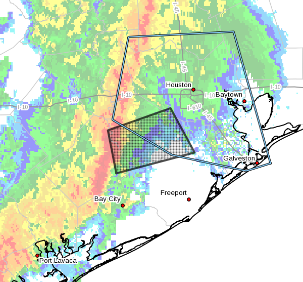
A bit of a complicated forecast as overnight winds start to bring some Gulf moisture back into the area. In addition, conditions in the upper level of the atmosphere will favor rising air, which could generate some rain showers and possibly thunderstorms during the morning and early afternoon hours—especially along the coast.
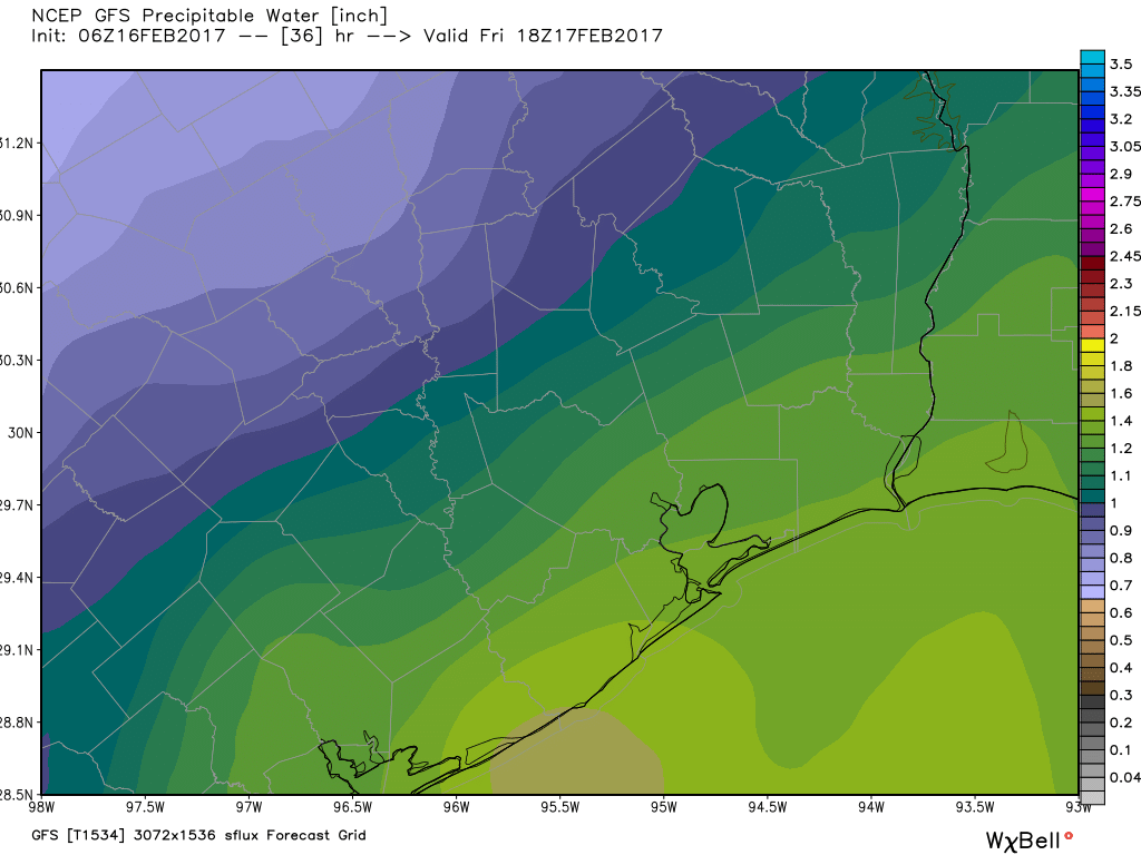
The forecast for rain is fairly tricky, because while some areas may see some nasty little storms, most parts of the region probably won’t. With partly to mostly cloudy skies high temperatures should remain at around 70 degrees.
(Space City Weather is sponsored this month by Darrell Lee’s The Gravitational Leap)