Houston records first freeze, but will slowly warm up this week

Houston officially recorded its first freeze of the 2015-2016 winter this morning. As I wrote recently, this is the latest freeze on record in Houston since 1965-1966, and more than five weeks later than the average first freeze at Bush Intercontinental Airport.

TODAY and TUESDAY

We’ll slowly begin to warm up now, with highs in the mid-50s today and around 60 on Tuesday, along with mostly sunny skies. Lows will be cold at around 40 degrees, but not near freezing in the Houston metro area.

WEDNESDAY and THURSDAY

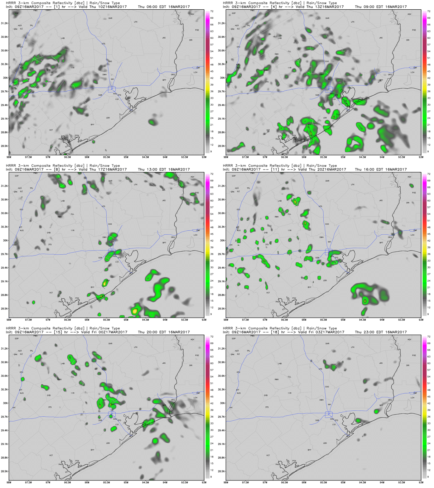
Clouds return, and eventually some decent rain chances. The best chances for rain will come from Wednesday afternoon through Thursday evening, and along the coast, as a disturbance moves overhead. Still, I don’t anticipate severe weather or that much rain.

For the most part the Houston region should see only modest rain accumulations this week. (Weather Bell)
The Houston region should see only modest rain accumulations this week. (Weather Bell)

See full post

With less than a week to go, sunny and cold conditions most likely for Houston marathon

Less than a week to go now until the start of the marathon, and we’re getting closer to nailing down the forecast, too. The global forecast models are coming into better agreement about the timing of a cold front — likely sometime on Friday or early Saturday morning. This would set up clear and cool conditions for Sunday morning.

Now the usual caveats apply, a forecast made seven days out is going to have some element of uncertainty. But both the European and Canadian models have been fairly consistent with this scenario, and now the GFS model has come into line. Therefore I am beginning to have a decent amount of confidence in colder-than-normal conditions for the morning of the marathon, with low temperatures that morning between 30 and 40 degrees, most likely.

Canadian model forecast for temperatures on Sunday, at 6 a.m. (Weather Bell)

See full post

Season’s first freeze possible for northern Houston on Monday

Temperatures dipped into the upper 30s across most of Houston on Sunday morning, and Monday morning will be a few degrees cooler. But will the region finally see its first freeze?

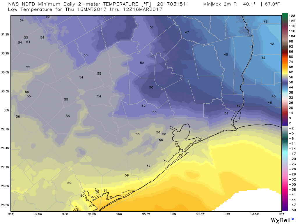
It’s going to be close, and the answer likely depends upon high clouds, which are difficult to predict. The freezing line will probably fall somewhere north of Interstate 10, likely near Bush Intercontinental Airport. Some of the best model guidance predicts temperatures between 32 and 34 degrees at this location on Monday morning. For areas further north there should be little question about seeing freezing temperatures for a few hours on Monday.

(National Weather Service)

See full post

Houston Marathon forecast: 8 days to go, strength of front remains uncertain

Whereas they were once consistent, the global forecast models are all over the place in terms of temperatures for the morning of Sunday, Jan. 17th. They range from the mid-20s (Canadian) to low-50s (GFS) in terms of the temperature at start time.

This tells us the models are still having a difficult time handling the timing and intensity of a cold front that will probably arrive shortly before the marathon. In looking at the best forecast model, the European, it calls for temperatures in the upper 30s. However the ensemble members predict a very broad range of temperatures from the low 20s to upper 50s. The highest confidence range is from 32 to 45 degrees.

The GFS model has turned warmer for the starting line of the Houston Marathon. But given its lack of consistency I would doubt it at this time. (Weather Bell)

See full post