Good morning. A series of steady, but not too threatening rain showers and thunderstorms are moving through Houston this morning.
TODAY
Showers and storms will continue to develop and move from west to east across Houston for a little while longer. The rains should end for the most part by the mid-morning hours. Much of the region should receive about 1 to 1.5 inches of rain through this morning, which is just what we needed after a very dry start to 2016.
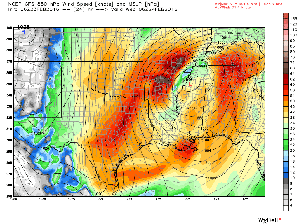
Highs today will reach about 70 degrees. By early this afternoon a cold front will move through the area, and we’re going to see some really strong winds as the front moves in this evening and tonight. A gale warning is in effect for the metro Houston area, with gusts as high as 40 mph possible. Low temperatures tonight will fall into the mid-40s, and with the wind it will feel quite a bit cooler once the Sun goes down.
WEDNESDAY
Winds will remain gusty on Wednesday morning, out of the northwest at speeds up to 20 to 25 mph. Highs should climb into the low 60s under mostly sunny skies. Winds should finally ebb during the afternoon hours.
THURSDAY-FRIDAY
We’ll see a couple of splendid late winter days, with highs in the 60s and lows in the low 40s, and lots of sunshine.
THE WEEKEND
Temperatures will warm a bit, with highs reaching into the low 70s, and overnight lows in the low 50s. But as sunshine abounds it still looks like a very nice weekend ahead.
Rain chances return Monday ahead of the next system.
Posted at 6:50 a.m. CT Tuesday