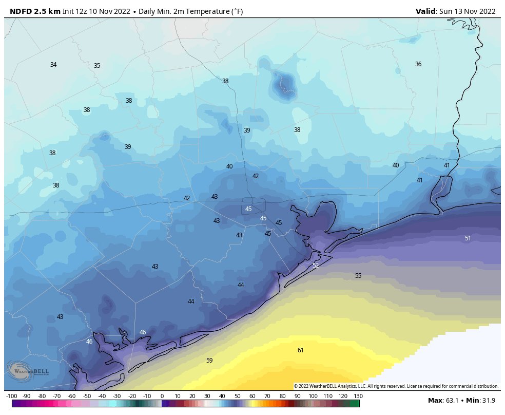
The Houston area is seeing moderately drier and cooler air this morning, with lows in the mid-60s. We will continue a slight downward trend in temperatures until the arrival of a strong cold front on Friday that ushers in much colder air for the weekend, and beyond. It still looks as though inland parts of the area will drop down into the upper 30s by Sunday morning, so this should be our first real taste of what passes for winter-like weather in Houston, since March.
Thursday
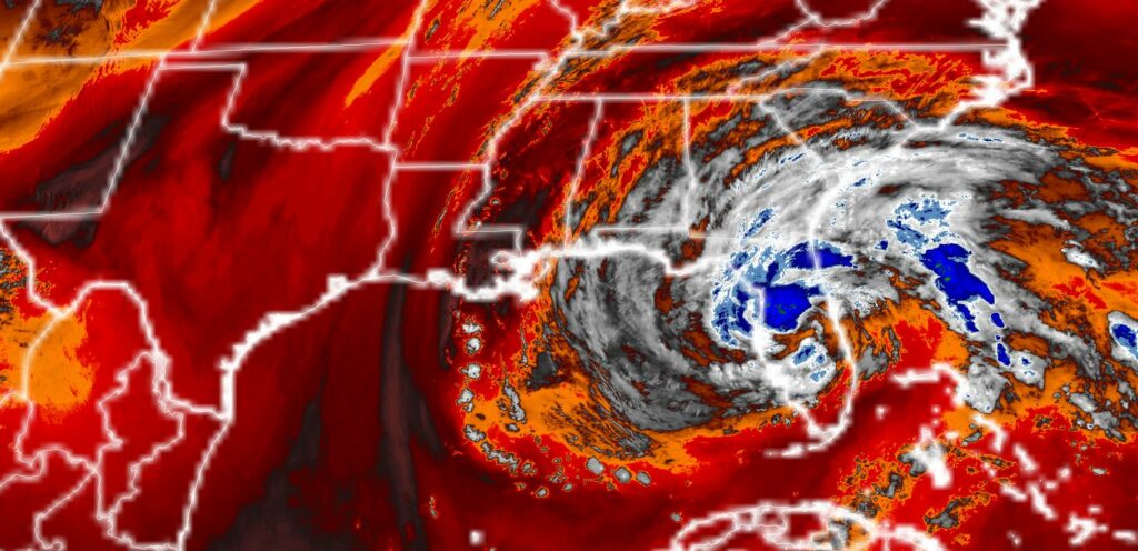
Western parts of the area are again seeing some patchy fog, but this will burn off within an hour or two of sunrise as air temperatures warm. Highs today will likely be in the low 80s, with mostly sunny skies, and light easterly winds. Those winds will be transporting moderately drier air as a result of the overall circulation of Hurricane Nicole, which struck the eastern coast of Florida early this morning. Low temperatures Thursday night will drop into the mid-60s.
Friday
Veteran’s Day will start out a lot like Thursday, and if you are attending any ceremonies during the morning hours the chance of rain is low. We will see the potential for at least some scattered showers during the afternoon hours, however, with the best chances during the evening hours before midnight. The front itself should move into the area, from northwest to southeast, during the late morning to late afternoon hours. As a result, highs on Friday will probably reach the upper 70s, with mostly cloudy skies. Temperatures will plunge overnight, into the 40s.
Saturday
Skies will be mostly sunny on Saturday, with highs topping out at about 60 degrees. Winds will be brisk, gusting out of the north at up to 20 or 25 mph, although these will start to ease off during the the afternoon and evening hours. Temperatures will bottom out on Saturday night, likely in the low 40s in central Houston, with cooler conditions further inland.
Sunday
Skies should be partly to mostly sunny on Sunday, with high temperatures around 60 degrees. Lows on Sunday night will be about 5 degrees warmer that Saturday night as our air moderates somewhat.
Next week
Houston’s air will start to warm up, and become more humid on Monday in response to a more southerly flow. A low pressure system in the Gulf of Mexico is likely to bring a healthy chance of rain on Monday, as highs get into the mid- to upper-60s. But just as you think warm weather might be coming back, a reinforcing cold front will arrive later on Monday to bring winter-like conditions back. Most of the rest of next week will likely see partly cloudy days, with highs in the upper 50s to lower 60s, and nighttime lows in the 40s.
Fundraiser
On Tuesday Space City Weather kicked off our annual fundraiser, and we really appreciate the support so far. Head over here to our fundraiser page to choose from a selection of merchandise, or to simply donate money (select “make a donation only”). This is your one chance during the year to directly support the work we do!


Any update on a potential Berger Event at Cape Canaveral? (Somebody please post the relevant Ars link)
This sounds lousy, and I hope that it doesn’t kill off my papaya tree blossoms. It will be miserable, but the positive is that when I bicycle to work, at least there won’t be anybody out on the trail.