After a couple of brutally hot days—96 and 97 degrees, respectively—we can expect more of the same today. The heat will break a bit later this weekend, however.
FRIDAY
High pressure will dominate again today, pushing highs into the upper 90s with mostly sunny skies. A heat advisory remains in effect due to the very warm weather.
SATURDAY
On Saturday temperatures will again be warm in the mid- to upper-90s, and the heat advisory remains in effect. However as high pressure retreats to the west, some slight rain chances are possible to the east of Interstate 45.
SATURDAY NIGHT through MONDAY
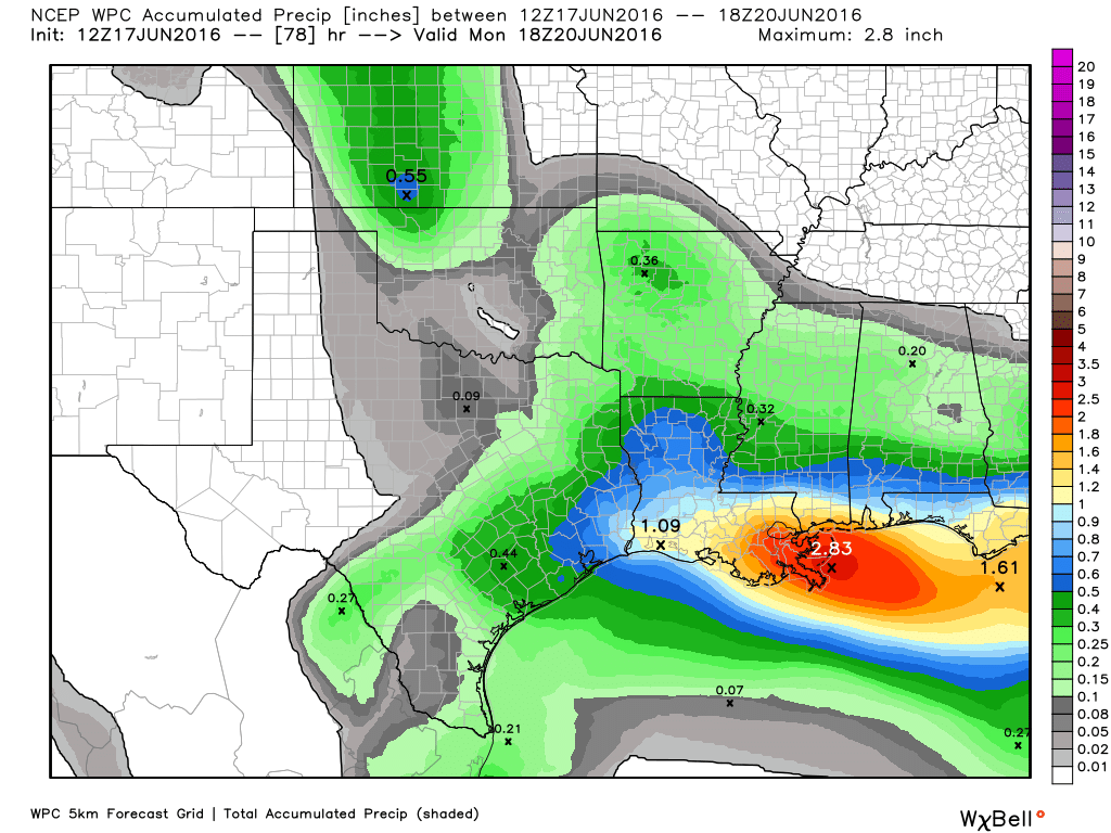
With high pressure weaker, and Houston open to the Gulf of Mexico, we’ll see some better rain chances beginning Saturday night and running into Sunday and possibly Monday. I don’t think we’re going to see any kind of significant flooding, but much of the area may well see one-half to as much as one inch of rain in total, and that will not be unwelcome to the area’s lawns and trees. Some brief, gusty winds are also possible.
A more northerly flow should knock out some heat, bringing high temperatures beginning on Sunday into the low 90s, and pushing overnight lows down a few degrees as well.
TUESDAY and WEDNESDAY
The forecast for the middle of the next work week is a little less clear, however it seems most likely that we’ll see some summer-like weather, with warm (low- to mid-90s) days and a chance of afternoon showers driven by the sea-breeze.
Hard to believe I am already wanting rain…
Eric, on your last blog, you told me that there may be some brief gusty winds but “nothing to be worried about.”
I disagree.
Look, when that front approaches Houston from the northeast, it will be hitting an area of superheated air. That could make the atmosphere as volatile as nitroglycerin, my friend. I think forecasters should consider this front armed and extremely dangerous, as those “brief gusty winds” you mentioned may max out at 60-80 mph!
Would like to her from you ASAP on this.
SkyGuy’s right, Eric. In fact, he’s forgotten to tell you that the CAPE values on Father’s Day will be over 3000 and the LIs around 8. Now, that may not sound particularly steep to you, but if you factor in that the latest NAM fcst soundings show an inverted “V” signature, we could be looking at some pretty damaging thunderstorms. In fact, wouldn’t be surprised if weather watches are hoisted for our area Sunday afternoon.
I’d like to hear from you as well.
Oooh, I’m scared!