Good morning. High pressure reigns so it’s going to be hot and sunny. The end.
OK, seriously, that is probably enough of a forecast to get you through the next three days. The National Weather Service has issued a heat advisory for Thursday, and it’s likely to remain in effect through Saturday as high temperatures remain in the mid-90s (we climbed to 96 degrees on Wednesday) with high humidity, pushing the heat index as high as 105 to 108 degrees. Not much more to say other than take care outside in these extremely warm conditions.
SUNDAY-TUESDAY
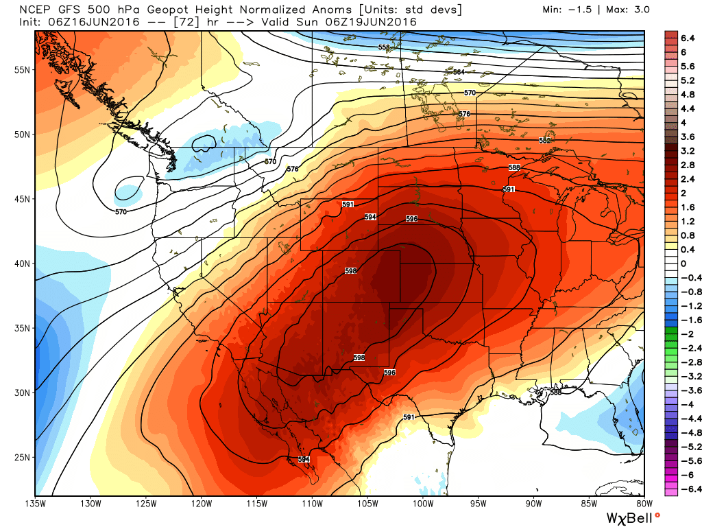
By Saturday night or so the high pressure driving our weather should retrograde back to the west as a very strong ridge builds over the southwestern United States. This should allow a more northeasterly flow of air into the greater Houston region, increasing cloud coverage and moderating temperatures a bit. Instead of highs in the mid- to upper-90s we’ll be in the low-90s, and overnight lows should be in the mid-70s.
At the same time a disturbance or two will bring some decent rain chances back to the area during this period. While we can’t rule out some locally heavy rain, I expect that most of the Houston region will see one-half inch of rain or less during the three day-period from Sunday through Tuesday.
By the middle of next week we’ll probably be back in a summer-time pattern of sunny days, with a slight chance of afternoon showers driven by the sea breeze. I am hopeful temperatures will not get quite as warm as they are at present.
TROPICS
There’s still a slight chance of a tropical system forming in the southern Gulf of Mexico early next week, but the system is going to be battling proximity to land in the Bay of Campeche, and therefore the odds are stacked against it. The National Hurricane Center has dropped the probability of formation to 10 percent.
Closing the shades and cranking up the A/C, I’ll see you late September
Eric, there has been talk about possible SW-moving MSC systems that could produce severe t-storm winds as they move across the area. How worried should Houstonians be about that?
There may be some brief, strong winds but I would not be too concerned.