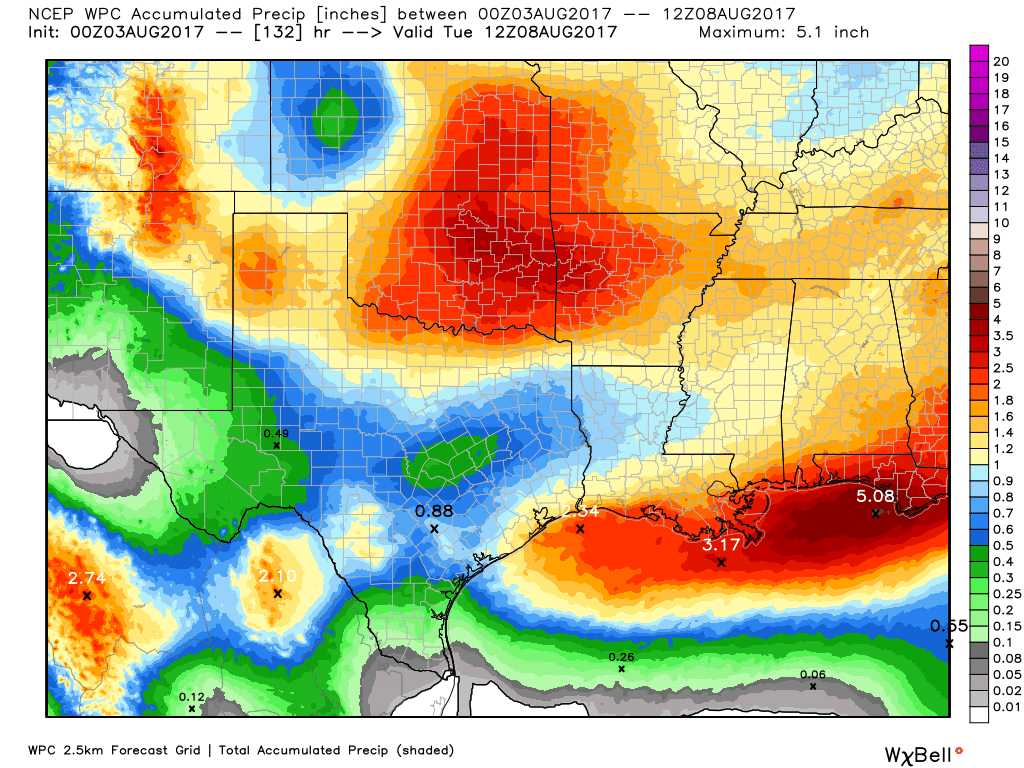
Houston will remain under the influence of a moist air mass during the next couple of days, which will lead to intermittent moderate to heavy rain showers, and cooler-than-normal temperatures. Frankly, this is very un-August-like weather, with widespread rainfall occuring across much of the eastern half of Texas, and highs of around 90 degrees. And for me, that’s a perfectly fine way to get through the dog days of summer.
Monday
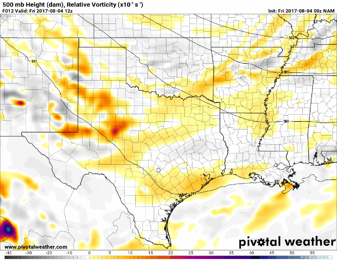
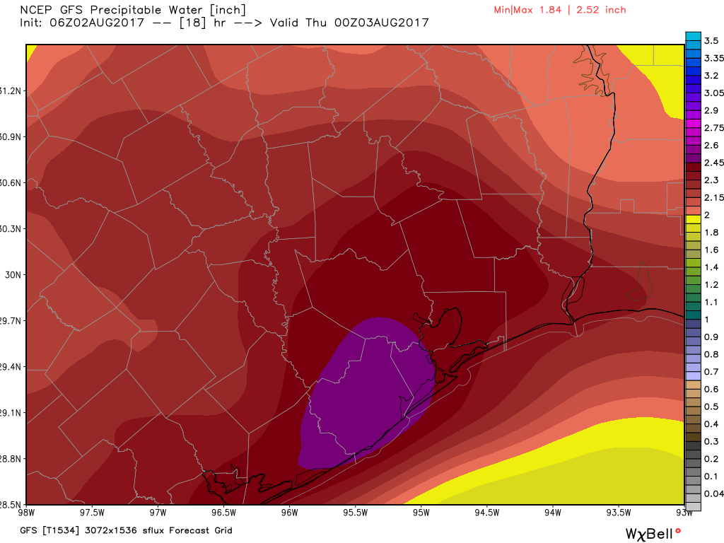
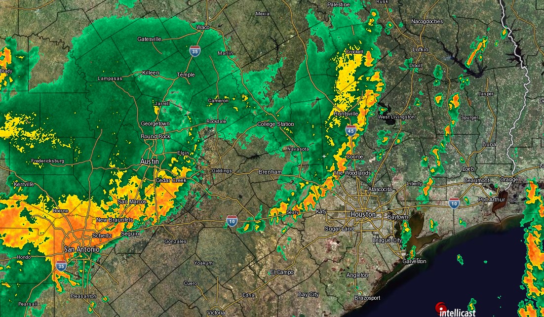
A large complex of storms dropped as much as six inches of rain over central Texas on Sunday night, and this morning the system is moving from the west into the Houston region. It has lost some of its potency, but still could produce 2 to 4 inches of rain over some parts of Houston today as it runs into the moist Gulf of Mexico air mass. Other areas should see less rain, but most of Houston should at least see some showers. Mostly cloudy skies should keep highs in the low 90s. A healthy chance of storms will remain during the overnight hours.
Tuesday
With low pressure (yet another advancing cold front that will stall over the area) and high moisture levels hanging around, I expect another day of widespread showers, with some thunderstorms producing heavy rainfall. For most people accumulations should be under 1 inch on Tuesday, but again there could be some localized street flooding issues under the heaviest storms. Highs around 90 degrees.