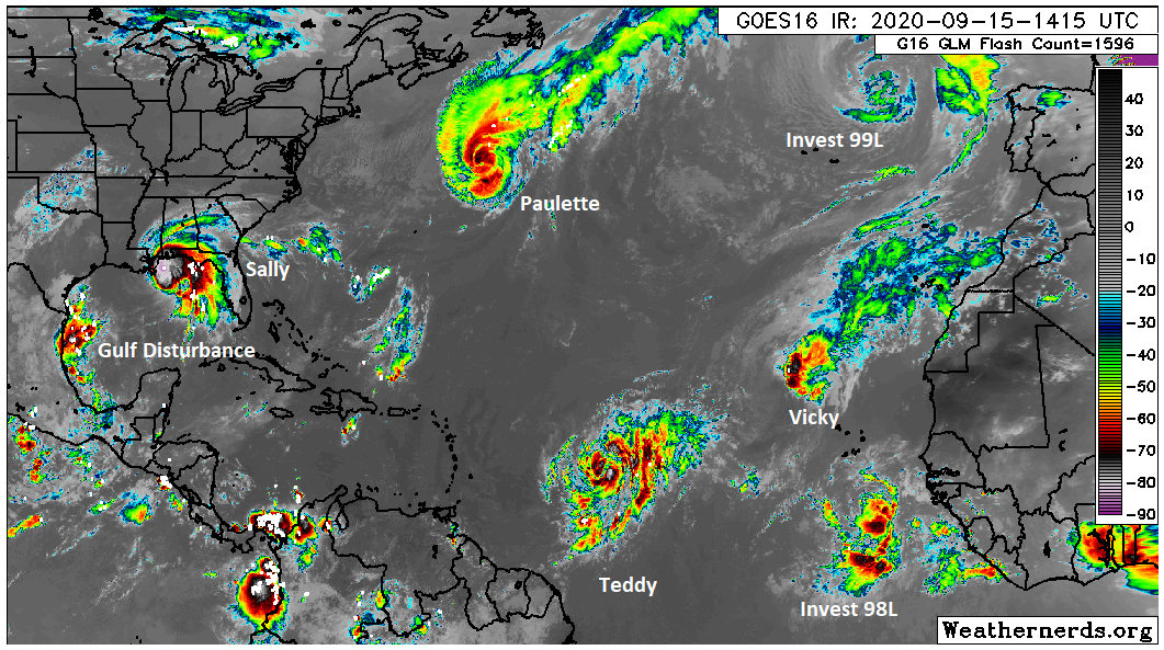
We’ve got a lot of moving parts in the forecast for the next week or so, with each one helping shape what the next one will do. The first big item is our late week front, which seems to be on track. The second item is the tropical disturbance off Mexico that many of you have expressed interest or concerns in, so we’ll explain how those two interact and what it could mean.
Today
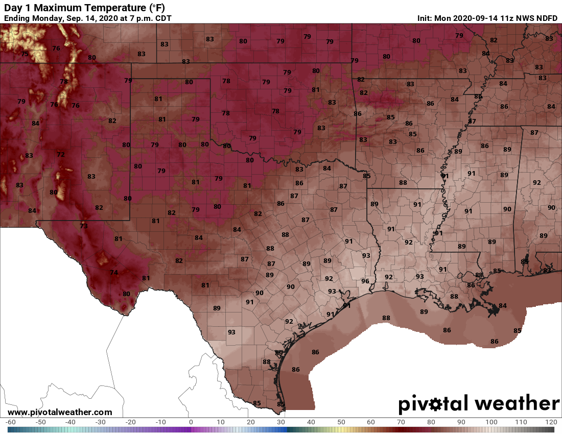
Wednesday should be a sunny, hot day. We should see at least a few showers and storms crop up, perhaps more likely north and west of Houston. But I think most of us will be dry. Look for highs in the low- to mid-90s area-wide.
Thursday
For tomorrow, a disturbance in the upper atmosphere is going to approach southeast Texas. We should see more cloud cover Thursday, and we may even have showers in the area by sunrise. As the day goes on, we’ll call it partly to mostly cloudy with scattered thunderstorms developing. After a morning low in the muggy 70s, look for highs in the low-90s or a touch cooler north and west.
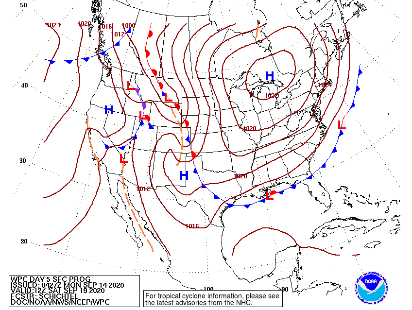
Friday to Sunday and cold front
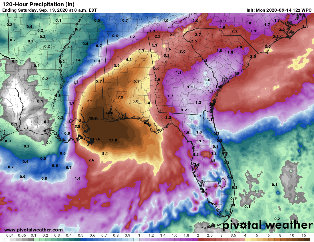
Last week’s cold front was an “in your face” type of frontal passage, where once the front passed your backyard, you knew it was there. I’m not sure this next front will be quite like that. Look for perhaps some showers Thursday night and Friday morning. They’ll drop south on Friday and any more organized storms should focus south of I-10 to the coast before dissipating late. The front itself will lag a bit, but it is expected to pass the northern half of the area Friday morning and afternoon, and it should eventually reach the coast by Friday night or early Saturday. Instead of a sharp change, we will likely see a gradual drop in humidity and clearing later Friday into Saturday.
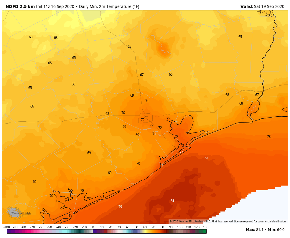
Look for Friday morning lows in the 70s still, followed by highs near 90° Friday afternoon. Then on Saturday, look for morning lows in the 60s in suburbs and outlying parts of the area to around 70 in Houston and mid- to upper-70s along the coast. Sunday morning should be similar.
Both Saturday and Sunday look like fine early autumn or late summer days with ample sunshine. A few morning clouds are possible Saturday south of Houston. We will still see highs in the upper-80s to near 90°, but the humidity will be tolerable.
Can the front fail? It’s plausible that the front doesn’t push quite as aggressively offshore, but trends since yesterday have been toward a slightly stronger push and the front basically dissolving 100 to 200 miles offshore. So we think that this is real.