A reasonably strong front will push into Houston this evening

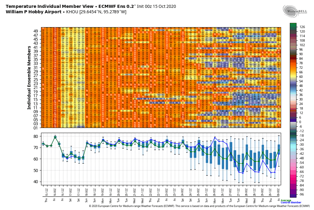
Houston’s weather will be fairly mundane in the week ahead, so there’s just not that much to say. We’ve got a front coming in tonight that will make for a pleasant weekend, and then most of next week looks fairly warm, but not exactly hot and in the 90s.

Thursday

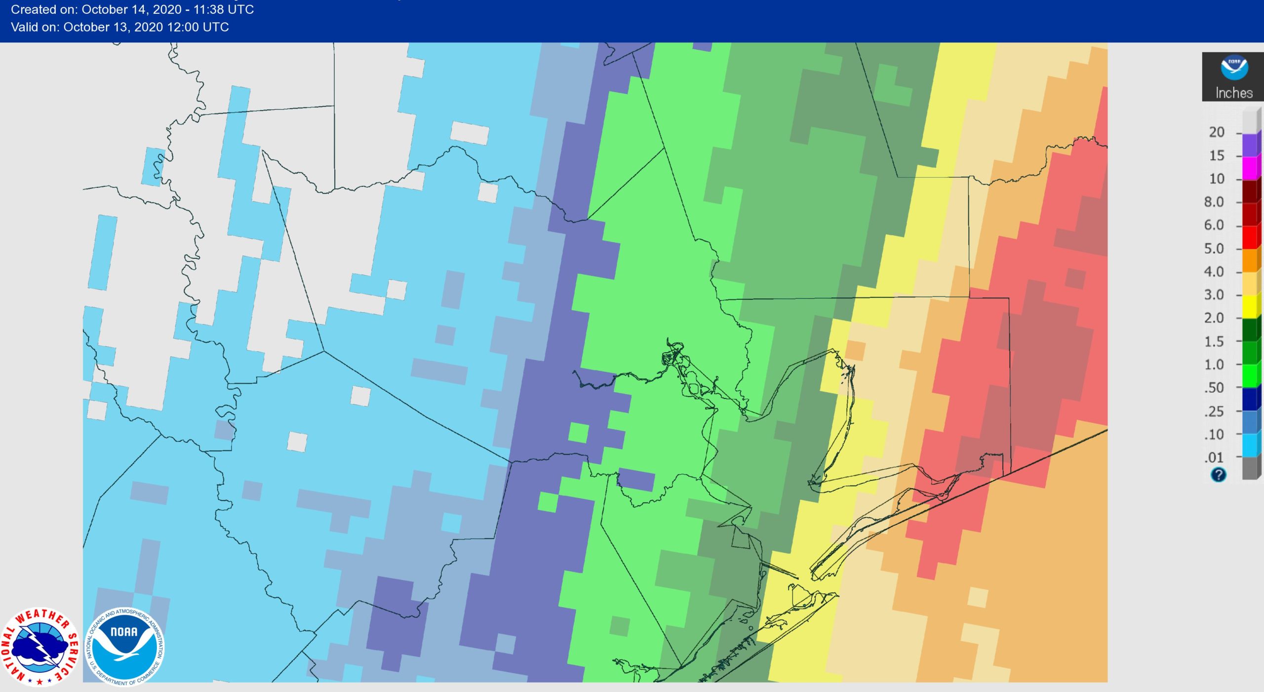
Today is going to be pretty warm, especially for mid-October. Under mostly sunny skies, with light south winds, highs are going to push into the upper 80s to nearly 90 degrees. Conditions this evening will be fairly warm and muggy, before a front approaches. We should see the front arriving west (think Katy) and north (Conroe) between sunset and midnight, and it should move through overnight. This front will have more moisture to work with, so I think there will be at least a broken line of showers as it moves through, and scattered, mostly light rain could linger into Friday morning.

NAM model forecast for position of the cold front at 10pm CT Thursday. (Weather Bell)

Friday

This day will feel noticeably different than much of the week, with a breezy northwest wind, and mostly cloudy skies limiting high temperatures to around 70 degrees for much of the area. Winds will slacken by Friday evening, but a persistent northerly breeze will usher in a fairly cool night—50s well inland, around 60 in Houston and slightly warmer along the coast.

Saturday

This should be a pretty spectacular day, with highs of around 80 degrees and mostly sunny skies. Alas the front will be fairly short-lived, as the onshore flow returns on Saturday, setting the region up for a warmer night.

Sunday

Another great day, albeit a bit warmer, with highs in the mid-80s and partly sunny skies.

There is no particularly strong signal in the models for the next front until next weekend. (Weather Bell)

Next week

Right now, we don’t expect much of note with next week’s weather. There don’t appear to be any serious cold fronts in the cards before at least Friday or Saturday, so we should see a mix of sunshine and clouds. This will probably yield daytime highs somewhere in the 80s, and lows around 70 degrees. We may also see some afternoon showers, although I think they will be fairly scattered.

Much of Houston has seen no rainfall since Tropical Storm Beta

It may seem weird to talk about “dry” conditions after Tropical Storm Beta drenched Houston from September 20 to 23, but the reality is that the western half of the metro area has seen no precipitation in the more than three weeks since. If you didn’t get rain from Hurricane Delta, you haven’t gotten any. Here’s a plot of rainfall accumulations over the last three weeks—a time when the region has experienced plenty of sunshine and heat to dry things out.

Rainfall accumulation map for the last 21 days. Click to enlarge. (NOAA)

So when might the region pick up some more substantive rainfall? The reality is that there is a lot more sunshine in our forecast than rain chances in the near term. A front may bring a moderate chance of brief, light rainfall on Friday morning. But after that our next real chance for a rain that might soak the ground does not come until the middle or end of next week, and that is by no means a sure thing.

Wednesday

Temperatures briefly dipped into the 60s for much of the area this morning, but with ample sunshine we’ll see warming back into the mid- to upper-80s today. Winds from the northeast will become calm, before shifting to the south later today, or tonight. Lows Wednesday night should be similar to Tuesday night.

Thursday

This will be a warm and sunny day, with highs in the upper 80s to 90 degrees, and light southerly winds. Temperatures on Thursday night will depend upon the timing of the front, which likely will reach the Interstate 69 corridor a few hours after midnight on Friday morning, and push off the coast within a few hours of sunrise.

Friday

We will see some scattered, light showers with the front, but they should fade out by mid-morning at the latest. Skies should remain mostly cloudy on Friday, with a brisk north or northeasterly wind. Highs may struggle to rise much above 70 degrees for the area as cooler, dry air blows in. Lows Friday night will be the coolest of the week.

Low temperatures on Saturday morning. (Pivotal Weather)

Saturday and Sunday

The weekend looks sunny, with highs in the upper 70s on Saturday, and a relatively quick return of the onshore flow ensuring sunny and mid-80s on Sunday. Frankly the forecast for Sunday night and beyond remains uncertain.

Tropics

Several of you have asked about the tropics, and all I have to say is that we are now firmly sliding into fall and there is nothing to worry about for Texas. We may see the season’s next storm form in the southwestern Caribbean Sea in about a week or 10 days, but if this develops it is likely to move north, rather than northwest toward Texas. We’re good, y’all.

A weak front has pushed into Houston, a stronger one comes Friday

Houston hit 92 degrees on Monday at Bush Intercontinental Airport before a moderate cool front pashed through the region overnight. I’m not making any guarantees, but if I had to guess this probably was the last 90-degree day of this calendar year for Houston. We may get close again a day or two this week, but a stronger front will arrive by Friday morning. The bottom line is that fall will start to feel more like fall in the days ahead.

Tuesday

The region will see sunny skies today in the wake of the front, and highs should push into the mid- to upper-80s as our drier air warms more quickly. But this should also allow temperatures to drop more quickly as the Sun goes down. Lows tonight should drop to around 60 degrees to the north and west of Houston, and in to the mid-60s in the city itself. Winds will be light, out of the northeast.

A cool front has pushed offshore this morning, and stalled. (National Weather Service)

Wednesday

Another sunny day, similar to Tuesday. As winds shift to the south during the afternoon we’ll see the beginnings of an onshore flow that will make for more humid conditions overnight and on Thursday.

Thursday

This day will see plenty of sunshine too, but may feel warmer due to increasing humidity. Expect highs to reach the upper 80s—here’s where we risk some areas touching 90 degrees again. A stronger front is expected to cross the region on Friday morning, likely reaching the coast around sunrise, give or take. This may produce some showers overnight. Right now I’d peg rain chances at about 40 percent for the area, with light accumulations of perhaps one to two tenths of an inch of rain.

Friday

Some morning clouds should give way to afternoon sunshine, as highs remain in the 70s for most of Houston in the wake of the front. Friday night should be the coolest of the week, with lows generally dropping into the 50s across the area except for the immediate coast.

Saturday morning’s low temperatures will be quite pleasant. (Pivotal Weather)

Saturday, Sunday, and beyond

Highs on Saturday should remain in the upper 70s to 80 degrees, with a lot more sunshine, followed by slightly warmer conditions on Sunday—which also will be sunny—following the return of the onshore flow. Next week’s weather is a bit uncertain as it is not clear whether another front will make it through by Tuesday or so.

Announcing the second winner of Reliant’s big AC Giveaway

We’re excited to announce the second winner of a complete AC system from Reliant! As you may recall, for the second year in a row, our sponsor has given away two AC systems to Houston area residents to help them beat the heat—and there has been plenty of heat to beat this year.

The winner of Phase II of Reliant’s AC Giveaway, Cassie and her family. (Photo courtesy of Reliant)

The winner of this year’s second AC System is Cassie, who lives in Friendswood. She has four children, some of whom are participating in virtual learning this fall due to COVID-19. She found out about the contest through our site’s Facebook page and decided to enter to keep her family comfortable while working and schooling from home safely. The family’s previous AC unit was in decent condition, but leaked water, wasn’t placed to code, and didn’t cool the house efficiently. So the installation of the new unit will make a world of difference for Cassie and her family. After learning that she had won the contest, here’s what Cassie had to say:

We are so grateful for Eric Berger and his weather team. They are our number one source of information! Winning this sweepstakes is such a bright spot after a truly very difficult summer. Thank you, thank you to Space City Weather and Reliant!

Likewise, we are thankful for our readers, as well as Reliant, who has been a great, long-time sponsor of our site. They keep the lights on for us, figuratively and literally.

In addition to providing electricity, Reliant alos offers AC and heating services, generators, indoor air quality checks, and thermostats through their home services division, plus special offers for Reliant customers. Check out this link for more information.

Before, and after. (Reliant)

This will wrap up the AC giveaways for 2020, but we’ve got some big things planned for Space City Weather and Reliant in the coming year, so be on the lookout for announcements soon. Thanks to everyone who participated!