Welcome back to Houston winter. Today will be a rude awakening for anyone who enjoyed our 70s yesterday. Let’s jump in.
Today
First off, the cold front is through the entire area already this morning. Temperatures aren’t going very far today. We’ve sunk into the 40s, and we should stay there for the balance of the day, though we may go from mid-40s this morning to upper-40s this afternoon. Either way, have a coat available today.
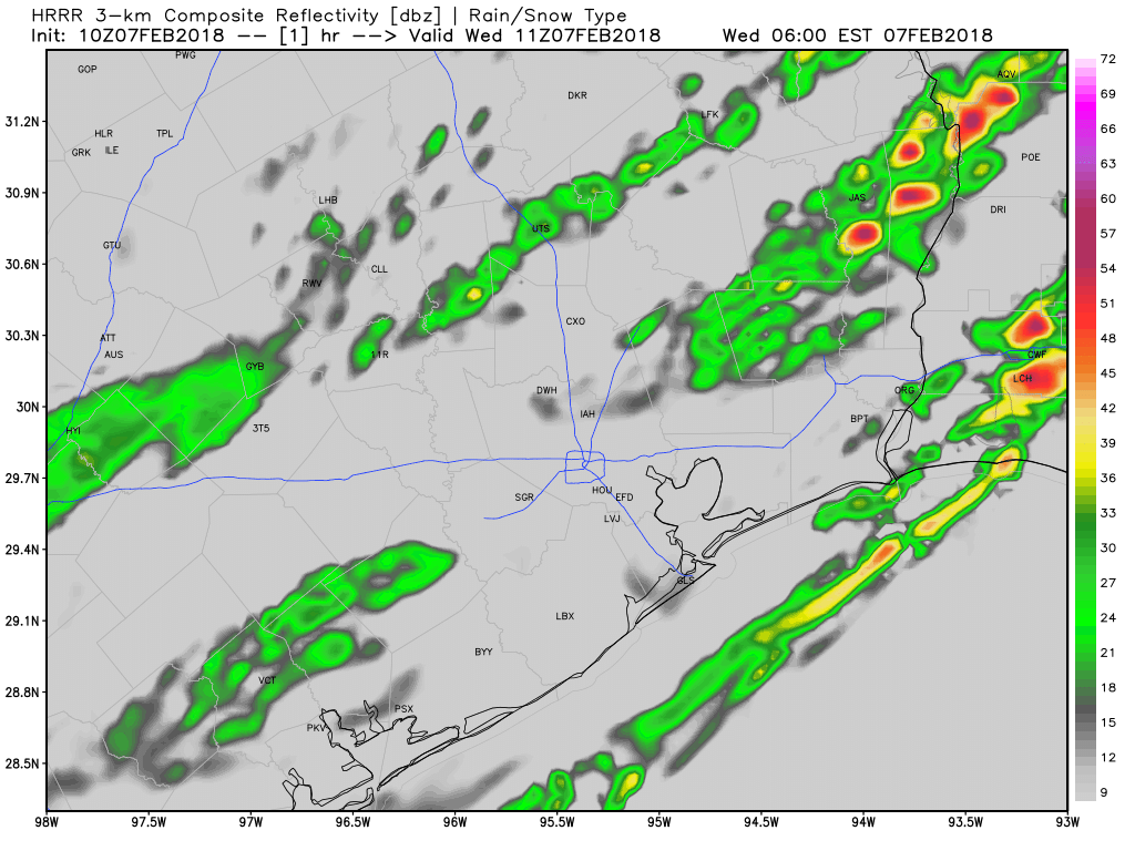
Also, have an umbrella. Rain and and a few thunderstorms will be likely throughout the day. Coverage is sporadic this morning, and that should actually increase as the day goes on. I wouldn’t rule out some small hail in any thunderstorms today with cold temps in place. Rain totals will be variable, with some folks seeing as much as a half inch, while others may only see a tenth of an inch or two. It will also be a bit breezy today.
Tonight & Thursday
Rain should end this evening. Skies may clear out tonight in spots well north. But I think we’ll stay mostly cloudy in Houston. This will help us avoid a light freeze. Folks up near Conroe or Crockett may see temperatures get into the lower 30s, but that won’t happen in Houston. Expect lows in the city to bottom out in the upper 30s to near 40 degrees or so. Just a little wind around tonight will make it a bit colder.
On Thursday, we start the warm up process again, so expect clouds to stay mostly in place, though we hopefully see some sunny breaks. The better chance of sunshine tomorrow may be north of I-10. But overall, the day should be dry and quiet. Temperatures will make a respectable effort to get close to 60 degrees, but likely come up short.

Friday & Weekend
Friday should see yet another mostly cloudy day (shocked face), but also a chance of showers as the day goes on. We’ll continue to warm with onshore flow. Expect highs into the mid-60s Friday afternoon.
Saturday’s forecast has shifted into a bit of a headache. When I wrote on Monday, it appeared likely to rain a good chunk of the day (me even describing it as “gross” to my wife when she asked). Now? It’s a little more complicated. A boundary near the coast will help focus showers and storms on Saturday. I’m not sure how far north that will get, but we do know that showers and storms are likely south and east of US-59 Saturday afternoon. Unfortunately, that means if you’ll be in Galveston for Mardi Gras, you’ll want to have an umbrella during the day Saturday.

If there’s some good news, it’s that the bulk of the showers and storms should be over with by Saturday night, as it appears right now. So you may have good, albeit foggy weather then in Galveston. The rest of the area sees scattered showers and storms Saturday and perhaps some fog Saturday night.
Sunday will feature a cold front, with perhaps another round of showers or a storm with it as it passes through. The exact timing is TBD, but I would expect a cool day Sunday, along with clouds most of the day. More tomorrow!
Will we ever see the sun again? I don’t mind the cold, but I’m sure tired of the clouds.
I appreciate these WX columns, and also like the humor in Matt’s post today: shocked face!
This is getting old. Where has our sun gone? It must be on vacation to escape this dreary weather. I’m so ready for summer.
The entire Houston area has been teleported to Seattle, that’s my unscientific explanation.
HA HA but, winter for Houston is almost over. We need to hold on and enjoy the ups and downs the winter has brought us. Think about those 100+ days ahead, ugg
100% agree. Can we “cancel August?”