In brief: Happy Labor Day! This is just a short update due to the holiday, and in reality there’s not too much to say. After fairly widespread showers and thunderstorms on Saturday and Sunday, today should see less activity.
Labor Day
Although Tropical Storm Edouard largely missed the metro Houston area in terms of rainfall, an unsettled pattern in its wake has generally brought 1 to 3 inches since then. Much of this rain has come over the holiday weekend. The rain was welcome to be sure, but did it have to come when most people were off work and school?
For those seeking to do outdoor activities, some solace and sunshine should come today. Rain chances will drop back to around 20 or 30 percent for most of the region, with only areas near and along the coast seeing slightly better odds for precipitation. Skies, otherwise, should be mostly sunny with high temperatures in the low- to mid-90s for most of the region. Winds will be light, from the south. Lows tonight will drop into the upper 70s for most of Houston area.
The rest of this week
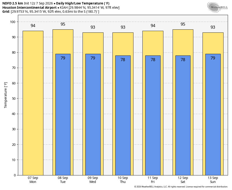
Tuesday looks hot and sunny, whereas a surge of tropical moisture could bring some more widespread showers into the region later on Tuesday evening or Wednesday. The remainder of the week, and next weekend, should see mostly sunny days, highs in the low- to mid-90s, and low-ish afternoon rain chances along the sea breeze. It will feel very much like early to mid-September. We won’t see a cold front this week, but I’m not entirely ruling something out about 12 to 14 days from now as we get deeper into the month. More on that tomorrow.
Have a wonderful holiday and we’ll be back with a full report on Tuesday.
