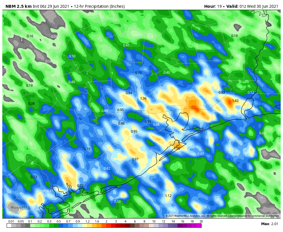
Much of the Houston region saw 1 to 3 inches of rain on Monday, with some higher bullseyes near LaPorte and Baytown on the east side of Houston. Today will see a similar setup, although with slightly less favorable conditions, overall totals should be less for most. The latter half of the week should see some sunshine, but we’re still looking at a wet holiday weekend.
Tuesday
The atmosphere remains moist, with lift from an upper-level system, but the overall dynamics favor less storm coverage today. That doesn’t mean it won’t rain. Most of Houston will probably see 0.25 to 2 inches of rain today, with some isolated areas of 3 inches along and east of Interstate 45. Area bayous should be able to handle these rains, so we’re probably looking at street flooding, at worst, in hard hit areas. Like on Monday, storms should wind down pretty quickly after the sun sets.
Otherwise, skies today will be mostly cloudy, with southeast winds, and highs will only reach the mid-80s. (I took a walk on Monday evening and, dare I say it, conditions felt almost pleasant?) Lows Tuesday night will drop into the mid-70s.
Wednesday
As moisture levels drop and the atmosphere becomes a little less favorable, the chances for heavy rainfall will diminish significantly on Wednesday. However, I think much of the area may still see at least some light to moderate rainfall during the day time to go along with partly sunny skies. Highs will be near 90 degrees.
Thursday and Friday
These days should both see partly sunny skies, with highs in the low 90s for the most part. Rain chances aren’t going to fall back to zero, but less than half of the area will probably see rain. We should get a chance to dry out a little bit before the next round arrives.
Saturday and Sunday
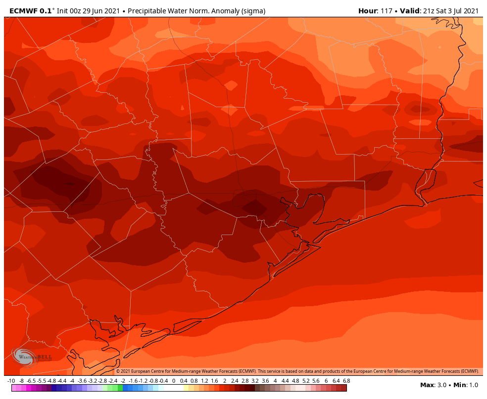
Yet another front will approach our region and stall out this weekend, and it will lead to elevated rain chances over the holiday weekend. The forecast has shifted a bit, with the better rain chances now expected on Saturday, with perhaps slightly less coverage on July 4th. Anyway, expect rain this weekend, perhaps to the tune of 1 to 2 inches. Sunday may see some partly sunny skies, but still has the potential for rain, and it is possible that fireworks displays may be impacted. Highs will drop back to around 90 degrees both days. Rain chances and cloudy skies continue into early next week.
The tropics remain active, especially for late June. Matt will have a full update later today.
Re Eric’s “pleasant” walk —- I classify anything below 90 in late June as pleasant. In August – mid Sept, FRIGID!
I live in La Porte. Can confirm we were one of the bullseyes (5.24 inches).
As Sheriff Bart would utter in the Governor’s office, “Dare. DARE!”
Rosharon, 4″ of rain yesterday
Eric, any thoughts on SpaceX launch today? Impacts of launch and landing on the building in surfside?
as a runner in Houston, I often think about the humidity in the summer; however, some discussion has been put out there that it is more likely that we should look at dewpoint rather than humidity. can you sometime relatively soon post or discuss what our dewpoints are on average during the summer months?