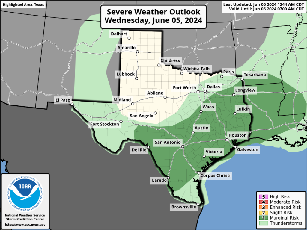
In brief: Monday’s showers were hit or miss, with a few areas picking up 2 inches of rain and much of the rest of the area seeing dark clouds but little precipitation. This stormy pattern will continue for two more days before we turn sunny and hot for the second half of the week. Rain chances look to increase again early next week with the influx of tropical moisture. In today’s post, we also share a weather oddity observed on Monday.
Clouds over Houston’s freeways
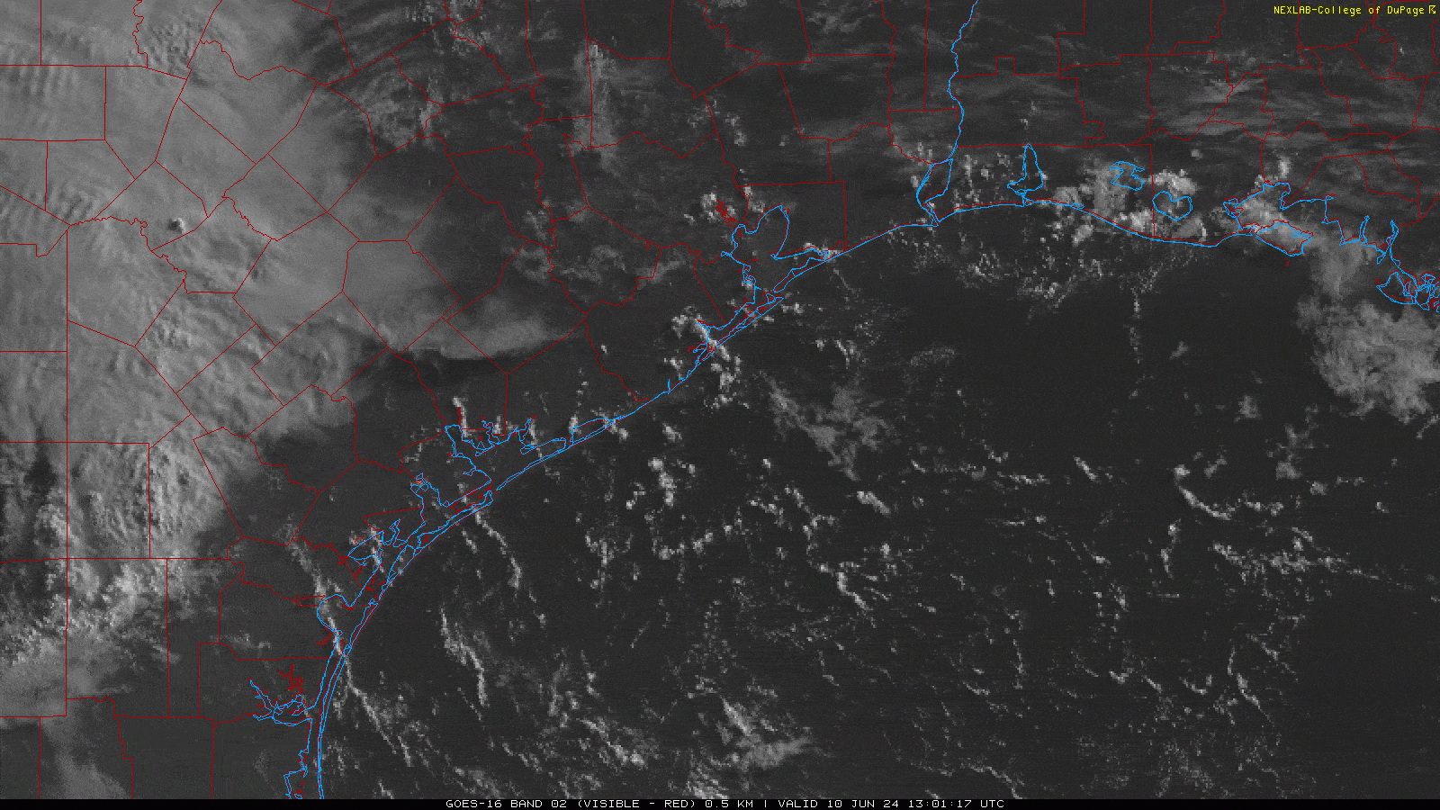
On Monday a reader, Chris Yetsko, noticed an interesting feature when he was looking at satellite images of the Houston area shortly after sunrise. If you look closely near downtown you can see lines of cumulus clouds briefly firing up to the north. These align with Interstate 45, Highway 59, and Highway 290, just at rush hour. Frankly, neither Matt nor I have ever seen anything like this.
So what’s happening? I can’t say for sure. Cumulus clouds like these form when warm, humid air rises rapidly. When this air encounters colder temperatures aloft, water vapor in the air condenses. We did see some slightly cooler air north of Houston on Monday, so this may be why we see this phenomenon on freeways north of downtown, rather than south of the city where the atmosphere was a little warmer. Freeways, of course, are warmer than surrounding areas due to automobile exhaust. In any case, a fun little meteorological mystery we wanted to share.
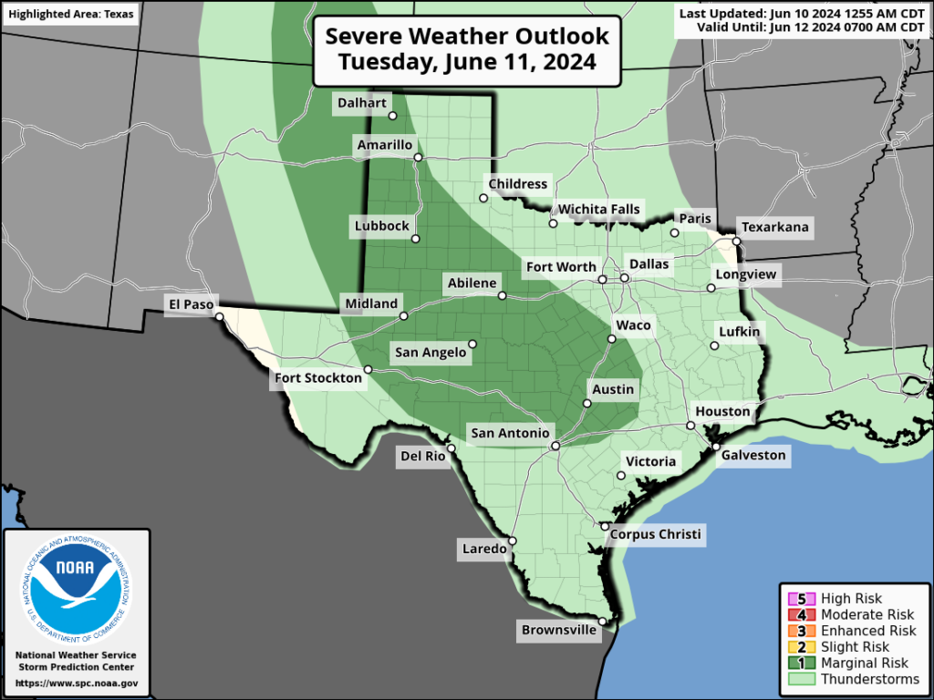
Tuesday
The overall setup today is similar to Monday, with plenty of moisture in the atmosphere and a series of disturbances propagating through the area. Therefore, I expect we’ll see the development of fairly widespread showers and thunderstorms later today, predominantly during the afternoon and early evening hours with daytime heating. Accumulations should again vary widely, with some areas perhaps picking up 2 inches or more, and many areas seeing little measurable rainfall. Brief street flooding is possible under the strongest storms. Otherwise, expect partly sunny conditions today with high temperatures in the low 90s.
Wednesday
This should be a similar day to Tuesday, albeit with perhaps less shower and storm coverage during the afternoon and evening hours. Expect highs in the low 90s.
Thursday and Friday
Rain chances don’t entirely go away on Thursday, but they’re probably going to drop into the vicinity of 10 percent. By Friday they should be gone entirely. Thus, I expect these to be mostly sunny days with highs in the mid-90s. The humidity will be slightly lower, so enjoy those mornings and evenings.
Saturday and Sunday
The first half of the weekend should bring more hot and sunny weather, with most of the area in the mid-90s. However, we can’t rule out a few areas popping into the upper 90s. By Sunday the high pressure ridge that will bring sunny conditions during the second half of this week should be easing off, and it will open us back up to some rain chances. I’ll ballpark them at 30 percent or so, but we’ll need to fine-tune that as we get closer.
Next week
We’re still looking at the possibility of an influx of moisture from a tropical system in the Gulf of Mexico starting on Monday. The forecast is pretty messy, meaning there are a lot of variables in play and the models are struggling to hone in on a solution. My sense is to not be too worried about this. I’m just not seeing much of a signal for a really organized tropical storm to develop in the Southern Gulf of Mexico next week. The primary threat is heavy rainfall, but again all we can really say at this point is that we may see some elevated rain chances next week. We’ll keep watching for you.